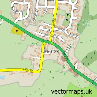
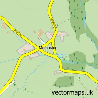
This Hollington street map is a detailed vector street map covering a 750m x 750m area. Select a larger area to create and download your own vector street map of Hollington.
The 750-metre map sample for Hollington covers 96 mapped buildings and approximately 11.1 km of road detail, of which 2 named roads are named. The immediate area includes 1 GP surgery within 2 miles and 1 pub. The wider area around Hollington features 2 food and drink venues and 2 hotels. To create a larger or custom map of Hollington, the map builder lets you define your own coverage area and download editable SVG, PDF and PNG files.
Create a larger editable map of Hollington
Choose any area you need and generate a high-quality vector map instantly. Perfect for print, planning, design, business and personal use.

This Hollington street map in Derbyshire is available as downloadable SVG, PDF and PNG map files, or as a printed map for planning, business, display, education, local information and design work. You can also create a larger custom map area using the map selector.
What this Hollington map sample shows
Hollington lies within Hollington Cp parish, part of Brailsford ward in the Derbyshire Dales District local authority area. The postcode geography for this area includes the DE postcode area, the DE6 postcode district and the DE6 3 postcode sector. Residents fall under the Nhs Derby And Derbyshire Integrated Care Board for NHS services.
Local features near Hollington
Within 2 milesAmenities and services in and around Hollington.
Administrative and postcode information for Hollington
The local authority covering Hollington is Derbyshire Dales District, within the county of Derbyshire. The settlement lies within Brailsford ward and Hollington Cp civil parish. The DE6 postcode district and DE6 3 postcode sector serve the immediate area. NHS provision in the area is delivered through University Hospitals Of Derby And Burton Nhs Foundation Trust.
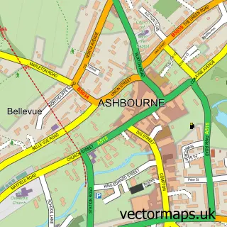
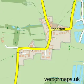
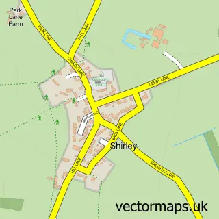
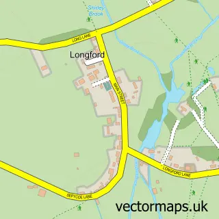
Nearby street map samples around Hollington

More street maps in Derbyshire
750 metre map area coverage
Boundary, postcode and point of interest information for the 750m x 750m rectangle centred on this sample map.
Boundaries containing map centre
Constituency: Derbyshire Dales Co Const
County: Derbyshire County
District: Derbyshire Dales District
Icb: NHS Derby and Derbyshire ICB
Parish: Hollington CP
Police Force: derbyshire
Postcode District: DE6
Postcode Sector: DE6 3
Ward: Brailsford Ward
Nearby boundaries intersecting sample
No additional intersecting boundaries found.
Postcode coverage
POI category counts
Hotel: 2
Building Supply Store: 1
Event Planning: 1
Holiday Rental Home: 1
Home Cleaning: 1
Package Locker: 1
Pub: 1
Restaurant: 1
Retail: 1
Sample points of interest
- Flooring Direct
- Big Little Theatre
- Hall Farm Holidays
- The Derby Cleaning Company
- Longford Hall Farm Holiday Cottages
- The Mews
- InPost
- The Red Lion
- A84 Ashbourne
- Heldreich French Polishers Ltd.
Create a larger editable map of Hollington
This sample shows only a 750 metre area. To create a larger map of Hollington, use our map builder to choose your own coverage area, add titles and download editable SVG, PDF and PNG files.
Create a custom map of Hollington