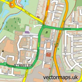
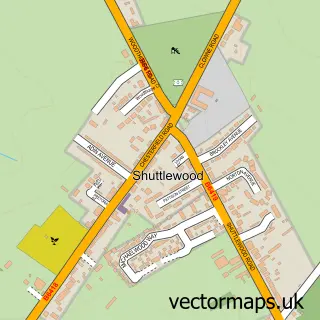
This Duckmanton street map is a detailed vector street map covering a 750m x 750m area. Select a larger area to create and download your own vector street map of Duckmanton.
The 750-metre map sample for Duckmanton covers 245 mapped buildings and approximately 19.9 km of road detail, of which 13 named roads are named. The immediate area includes 1 school, 2 pubs and 10 MOT stations within 2 miles. The wider area around Duckmanton features 4 food and drink venues. To create a larger or custom map of Duckmanton, the map builder lets you define your own coverage area and download editable SVG, PDF and PNG files.
Create a larger editable map of Duckmanton
Choose any area you need and generate a high-quality vector map instantly. Perfect for print, planning, design, business and personal use.

This Duckmanton street map in Derbyshire is available as downloadable SVG, PDF and PNG map files, or as a printed map for planning, business, display, education, local information and design work. You can also create a larger custom map area using the map selector.
What this Duckmanton map sample shows
Duckmanton lies within Sutton Cum Duckmanton Cp parish, part of Sutton ward in the North East Derbyshire District local authority area. The postcode geography for this area includes the S postcode area, the S44 postcode district and the S44 5 postcode sector. Residents fall under the Nhs Derby And Derbyshire Integrated Care Board for NHS services.
Local features near Duckmanton
Within 2 milesAmenities and services in and around Duckmanton.
Administrative and postcode information for Duckmanton
The local authority covering Duckmanton is North East Derbyshire District, within the county of Derbyshire. The settlement lies within Sutton ward and Sutton Cum Duckmanton Cp civil parish. The S44 postcode district and S44 5 postcode sector serve the immediate area. NHS provision in the area is delivered through Chesterfield Royal Hospital Nhs Foundation Trust.
Nearby street map samples around Duckmanton


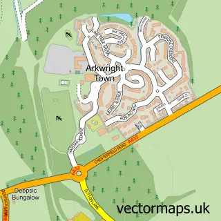
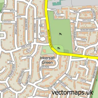
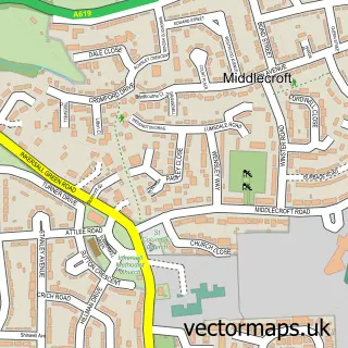
More street maps in Derbyshire
750 metre map area coverage
Boundary, postcode and point of interest information for the 750m x 750m rectangle centred on this sample map.
Boundaries containing map centre
Constituency: Chesterfield Boro Const
County: Derbyshire County
District: Chesterfield District (B)
Icb: NHS Derby and Derbyshire ICB
Parish: Staveley CP
Police Force: derbyshire
Postcode District: S44
Postcode Sector: S44 5
Ward: Staveley South Ward
Nearby boundaries intersecting sample
No additional intersecting boundaries found.
Postcode coverage
POI category counts
Convenience Store: 4
Gas Station: 4
Fast Food Restaurant: 3
Coffee Shop: 2
Driving School: 2
Pub: 2
Retirement Home: 2
Sandwich Shop: 2
Atms: 1
Automotive: 1
Sample points of interest
- PayPoint
- Ecu Remapping
- InstaVolt Charging Station
- Greggs
- Greggs
- Selmac Scaffolding
- Meter Provida
- Markan Foods
- Mencap
- Duckmanton Methodist Church
- Banana Shoes
- Starbucks Coffee
Create a larger editable map of Duckmanton
This sample shows only a 750 metre area. To create a larger map of Duckmanton, use our map builder to choose your own coverage area, add titles and download editable SVG, PDF and PNG files.
Create a custom map of Duckmanton