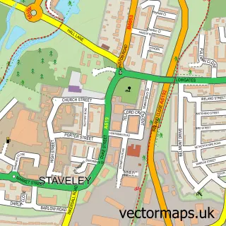
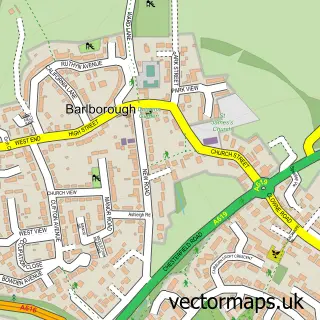
This Norbriggs street map is a detailed vector street map covering a 750m x 750m area. Select a larger area to create and download your own vector street map of Norbriggs.
The 750-metre map sample for Norbriggs covers 284 mapped buildings and approximately 17.5 km of road detail, of which 25 named roads are named. The immediate area includes 1 school, 1 GP surgery within 2 miles and 10 MOT stations within 2 miles. The wider area around Norbriggs features 1 tourism point of interest. To create a larger or custom map of Norbriggs, the map builder lets you define your own coverage area and download editable SVG, PDF and PNG files.
Create a larger editable map of Norbriggs
Choose any area you need and generate a high-quality vector map instantly. Perfect for print, planning, design, business and personal use.

This Norbriggs street map in Derbyshire is available as downloadable SVG, PDF and PNG map files, or as a printed map for planning, business, display, education, local information and design work. You can also create a larger custom map area using the map selector.
What this Norbriggs map sample shows
Norbriggs lies within Staveley Cp parish, part of Lowgates And Woodthorpe ward in the Chesterfield District (B) local authority area. The postcode geography for this area includes the S postcode area, the S43 postcode district and the S43 3 postcode sector. Residents fall under the Nhs Derby And Derbyshire Integrated Care Board for NHS services.
Local features near Norbriggs
Within 2 milesAmenities and services in and around Norbriggs.
Administrative and postcode information for Norbriggs
Norbriggs lies within Staveley Cp parish, part of Lowgates And Woodthorpe ward in the Chesterfield District (B) local authority area. The postcode geography for this area includes the S postcode area, the S43 postcode district and the S43 3 postcode sector. Residents fall under the Nhs Derby And Derbyshire Integrated Care Board for NHS services.
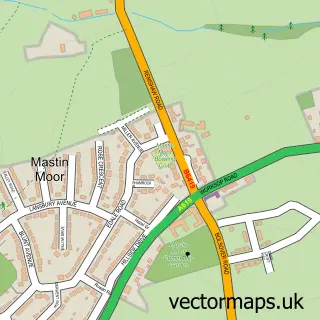
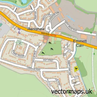
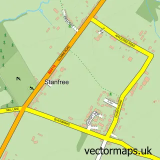
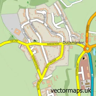
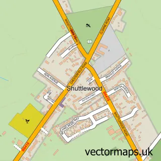
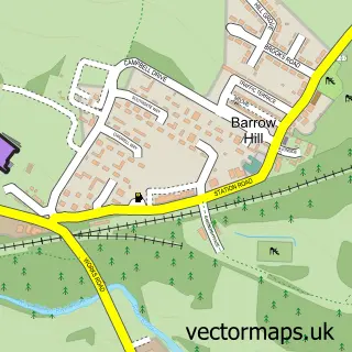
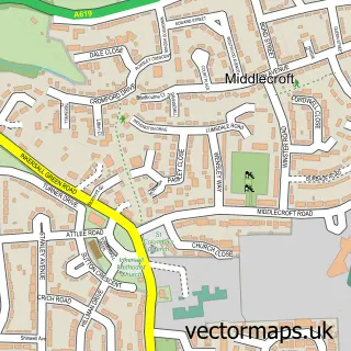
Nearby street map samples around Norbriggs

More street maps in Derbyshire
750 metre map area coverage
Boundary, postcode and point of interest information for the 750m x 750m rectangle centred on this sample map.
Boundaries containing map centre
Constituency: North East Derbyshire Co Const
County: Derbyshire County
District: Chesterfield District (B)
Icb: NHS Derby and Derbyshire ICB
Parish: Staveley CP
Police Force: derbyshire
Postcode District: S43
Postcode Sector: S43 3
Ward: Staveley North Ward
Nearby boundaries intersecting sample
No additional intersecting boundaries found.
Postcode coverage
POI category counts
Convenience Store: 2
Public Service And Government: 2
Retirement Home: 2
Assisted Living Facility: 1
Atms: 1
Auto Detailing: 1
Auto Security: 1
Building Supply Store: 1
Elementary School: 1
Financial Service: 1
Sample points of interest
- Woodthorpe Lodge
- PayPoint
- LKD Detailing
- Mint Security Systems
- S40 Decorators
- Lansbury Premier
- Premier Lansbury Convenience
- Norbriggs Primary School
- T M Accounting Services
- Sports Massage By Felipe
- Norbriggs
- J P Grafix
Create a larger editable map of Norbriggs
This sample shows only a 750 metre area. To create a larger map of Norbriggs, use our map builder to choose your own coverage area, add titles and download editable SVG, PDF and PNG files.
Create a custom map of Norbriggs