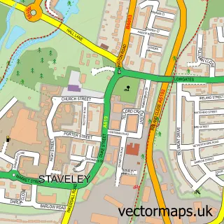
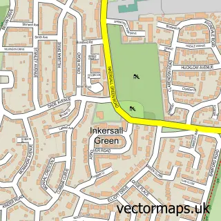
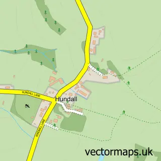
This Barrow Hill street map is a detailed vector street map covering a 750m x 750m area. Select a larger area to create and download your own vector street map of Barrow Hill.
The 750-metre map sample for Barrow Hill covers 198 mapped buildings and approximately 14.7 km of road detail, of which 13 named roads are named. The immediate area includes 1 school, 2 GP surgeries within 2 miles and 11 MOT stations within 2 miles. The wider area around Barrow Hill features 1 tourism point of interest. To create a larger or custom map of Barrow Hill, the map builder lets you define your own coverage area and download editable SVG, PDF and PNG files.
Create a larger editable map of Barrow Hill
Choose any area you need and generate a high-quality vector map instantly. Perfect for print, planning, design, business and personal use.

This Barrow Hill street map in Derbyshire is available as downloadable SVG, PDF and PNG map files, or as a printed map for planning, business, display, education, local information and design work. You can also create a larger custom map area using the map selector.
What this Barrow Hill map sample shows
Barrow Hill lies within Staveley Cp parish, part of Hollingwood And Inkersall ward in the Chesterfield District (B) local authority area. The postcode geography for this area includes the S postcode area, the S43 postcode district and the S43 2 postcode sector. Residents fall under the Nhs Derby And Derbyshire Integrated Care Board for NHS services.
Local features near Barrow Hill
Within 2 milesAmenities and services in and around Barrow Hill.
Administrative and postcode information for Barrow Hill
The local authority covering Barrow Hill is Chesterfield District (B), within the county of Derbyshire. The settlement lies within Hollingwood And Inkersall ward and Staveley Cp civil parish. The S43 postcode district and S43 2 postcode sector serve the immediate area. NHS provision in the area is delivered through Chesterfield Royal Hospital Nhs Foundation Trust.
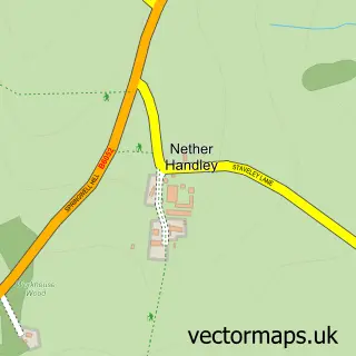
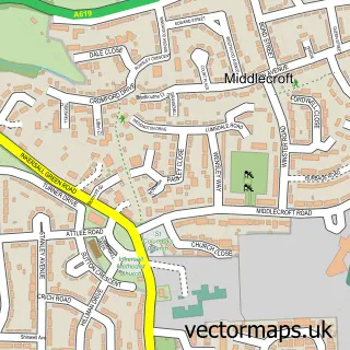
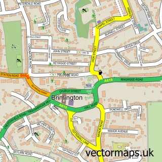
Nearby street map samples around Barrow Hill

More street maps in Derbyshire
750 metre map area coverage
Boundary, postcode and point of interest information for the 750m x 750m rectangle centred on this sample map.
Boundaries containing map centre
Constituency: North East Derbyshire Co Const
County: Derbyshire County
District: Chesterfield District (B)
Icb: NHS Derby and Derbyshire ICB
Parish: Staveley CP
Police Force: derbyshire
Postcode District: S43
Postcode Sector: S43 2
Ward: Staveley North Ward
Nearby boundaries intersecting sample
Postcode Sector: S43 3
Postcode coverage
POI category counts
Korean Grocery Store: 2
Automotive Repair: 1
Beauty Salon: 1
Bicycle Shop: 1
Building Supply Store: 1
Carpet Cleaning: 1
Church Cathedral: 1
Community Center: 1
Counseling And Mental Health: 1
Currency Exchange: 1
Sample points of interest
- Barrow Hill Service Centre
- JJB Beauty & Aesthetics
- Velotastic
- Phoenix Brick Co
- Chesterfield Carpet Cleaning Pro
- Barrow Hill Methodist Church
- Barrow Hill Memorial Hall
- Magna Homecare
- Post Office Travel Money
- Barrow Hill Primary School
- AMC Storage solutions
- Altered Chic
Create a larger editable map of Barrow Hill
This sample shows only a 750 metre area. To create a larger map of Barrow Hill, use our map builder to choose your own coverage area, add titles and download editable SVG, PDF and PNG files.
Create a custom map of Barrow Hill