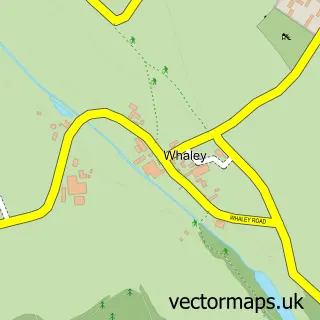
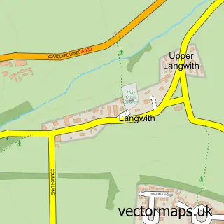
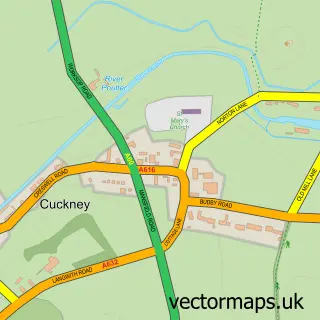
This Whaley Thorns street map is a detailed vector street map covering a 750m x 750m area. Select a larger area to create and download your own vector street map of Whaley Thorns.
The 750-metre map sample for Whaley Thorns covers 203 mapped buildings and approximately 17.8 km of road detail, of which 24 named roads are named. The immediate area includes 1 school, 1 railway station, 1 pub and 3 MOT stations within 2 miles. The wider area around Whaley Thorns features 1 tourism point of interest and 2 food and drink venues. To create a larger or custom map of Whaley Thorns, the map builder lets you define your own coverage area and download editable SVG, PDF and PNG files.
Create a larger editable map of Whaley Thorns
Choose any area you need and generate a high-quality vector map instantly. Perfect for print, planning, design, business and personal use.

This Whaley Thorns street map in Derbyshire is available as downloadable SVG, PDF and PNG map files, or as a printed map for planning, business, display, education, local information and design work. You can also create a larger custom map area using the map selector.
What this Whaley Thorns map sample shows
Whaley Thorns lies within Langwith Cp parish, part of Langwith ward in the Bolsover District local authority area. The postcode geography for this area includes the NG postcode area, the NG20 postcode district and the NG20 9 postcode sector. Residents fall under the Nhs Derby And Derbyshire Integrated Care Board for NHS services.
Local features near Whaley Thorns
Within 2 milesAmenities and services in and around Whaley Thorns.
Administrative and postcode information for Whaley Thorns
Whaley Thorns lies within Langwith Cp parish, part of Langwith ward in the Bolsover District local authority area. The postcode geography for this area includes the NG postcode area, the NG20 postcode district and the NG20 9 postcode sector. Residents fall under the Nhs Derby And Derbyshire Integrated Care Board for NHS services.
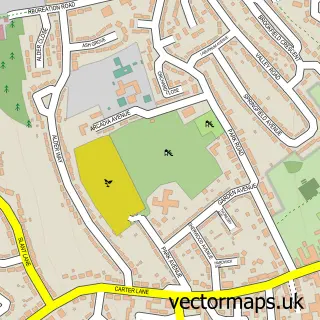
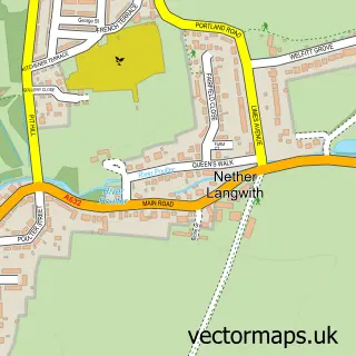
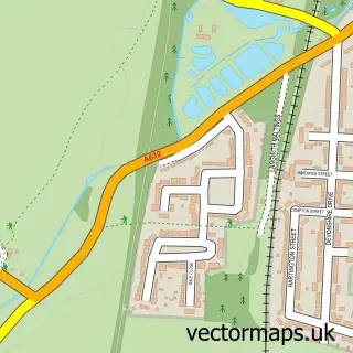
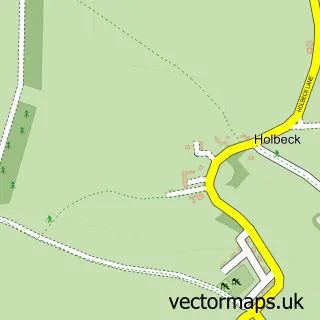
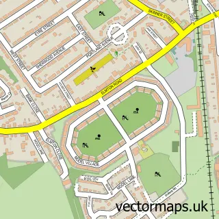
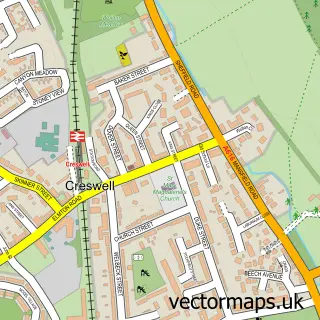
Nearby street map samples around Whaley Thorns

More street maps in Derbyshire
750 metre map area coverage
Boundary, postcode and point of interest information for the 750m x 750m rectangle centred on this sample map.
Boundaries containing map centre
Constituency: Bolsover Co Const
County: Derbyshire County
District: Bolsover District
Icb: NHS Derby and Derbyshire ICB
Parish: Langwith CP
Police Force: derbyshire
Postcode District: NG20
Postcode Sector: NG20 9
Ward: Langwith Ward
Nearby boundaries intersecting sample
Constituency: Bassetlaw Co Const
County: Nottinghamshire County
District: Bassetlaw District
Icb: NHS Nottingham and Nottinghamshire ICB
Parish: Nether Langwith CP
Police Force: nottinghamshire
Ward: Welbeck Ward
Postcode coverage
POI category counts
Beauty Salon: 2
Business Equipment And Supply: 2
Community Services Non Profits: 2
Elementary School: 2
Train Station: 2
Advertising Agency: 1
Anglican Church: 1
Art Museum: 1
Boxing Class: 1
Cafe: 1
Sample points of interest
- Rich Designs
- St Luke
- Langwith Whaley Thorns Heritage Centre Ltd.
- ARLIA Nail and Beauty House
- Clairabella's Hair and Beauty Salon
- Langwith Boxing Club
- Shop Equip Ltd.
- Shop-Equip Ltd.
- Langwith Fried Chicken & Pizza
- Langwith Leisure and Recreation Group - LLRG
- Whaley Thorns & Langwith Village Hall
- Langwith Medical Centre
Create a larger editable map of Whaley Thorns
This sample shows only a 750 metre area. To create a larger map of Whaley Thorns, use our map builder to choose your own coverage area, add titles and download editable SVG, PDF and PNG files.
Create a custom map of Whaley Thorns