This Ranby street map is a detailed vector street map covering a 750m x 750m area. Select a larger area to create and download your own vector street map of Ranby.
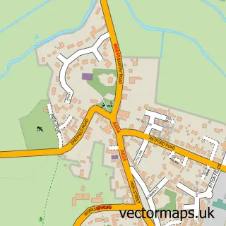
The 750-metre map sample for Ranby covers 83 mapped buildings and approximately 10.3 km of road detail, of which 5 named roads are named. The immediate area includes 1 school and 1 pub. The wider area around Ranby features 1 food and drink venue. To create a larger or custom map of Ranby, the map builder lets you define your own coverage area and download editable SVG, PDF and PNG files.
Create a larger editable map of Ranby
Choose any area you need and generate a high-quality vector map instantly. Perfect for print, planning, design, business and personal use.

This Ranby street map in Nottinghamshire is available as downloadable SVG, PDF and PNG map files, or as a printed map for planning, business, display, education, local information and design work. You can also create a larger custom map area using the map selector.
What this Ranby map sample shows
Ranby lies within Babworth Cp parish, part of Sutton ward in the Bassetlaw District local authority area. The postcode geography for this area includes the DN postcode area, the DN22 postcode district and the DN22 8 postcode sector. Residents fall under the Nhs Nottingham And Nottinghamshire Integrated Care Board for NHS services.
Local features near Ranby
Within 2 milesAmenities and services in and around Ranby.
Administrative and postcode information for Ranby
Ranby lies within Babworth Cp parish, part of Sutton ward in the Bassetlaw District local authority area. The postcode geography for this area includes the DN postcode area, the DN22 postcode district and the DN22 8 postcode sector. Residents fall under the Nhs Nottingham And Nottinghamshire Integrated Care Board for NHS services.
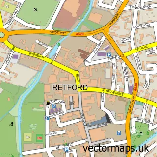
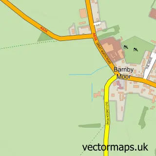
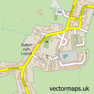
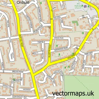
Nearby street map samples around Ranby

More street maps in Nottinghamshire
750 metre map area coverage
Boundary, postcode and point of interest information for the 750m x 750m rectangle centred on this sample map.
Boundaries containing map centre
Constituency: Bassetlaw Co Const
County: Nottinghamshire County
District: Bassetlaw District
Icb: NHS Nottingham and Nottinghamshire ICB
Parish: Babworth CP
Police Force: nottinghamshire
Postcode District: DN22
Postcode Sector: DN22 8
Ward: Sutton Ward
Nearby boundaries intersecting sample
Postcode District: S81
Postcode Sector: S81 0
Ward: Worksop East Ward
Postcode coverage
POI category counts
Elementary School: 2
Alternative Medicine: 1
Anglican Church: 1
Beverage Store: 1
Cleaning Services: 1
Irish Pub: 1
Pet Services: 1
Professional Services: 1
Pub: 1
School: 1
Sample points of interest
- Retford Reflexology
- St Martin's Church, Ranby
- Chequers Inn
- Clean Vision UK
- Big Yellow Door Nursery
- Ranby Church of England Primary School
- The Chequers Inn
- Em's Dog Grooming Parlour
- Ranby Village Hall
- The Chequers Inn
- Ranby C of E School
Create a larger editable map of Ranby
This sample shows only a 750 metre area. To create a larger map of Ranby, use our map builder to choose your own coverage area, add titles and download editable SVG, PDF and PNG files.
Create a custom map of Ranby