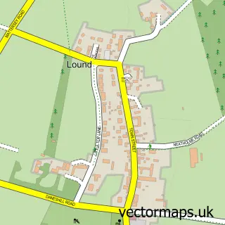
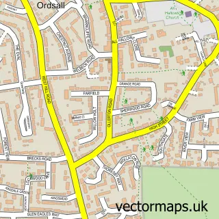
This Barnby Moor street map is a detailed vector street map covering a 750m x 750m area. Select a larger area to create and download your own vector street map of Barnby Moor.
The 750-metre map sample for Barnby Moor covers 76 mapped buildings and approximately 12.6 km of road detail, of which 4 named roads are named. The immediate area includes 2 pubs. The wider area around Barnby Moor features 1 tourism point of interest, 3 food and drink venues and 2 hotels. To create a larger or custom map of Barnby Moor, the map builder lets you define your own coverage area and download editable SVG, PDF and PNG files.
Create a larger editable map of Barnby Moor
Choose any area you need and generate a high-quality vector map instantly. Perfect for print, planning, design, business and personal use.

This Barnby Moor street map in Nottinghamshire is available as downloadable SVG, PDF and PNG map files, or as a printed map for planning, business, display, education, local information and design work. You can also create a larger custom map area using the map selector.
What this Barnby Moor map sample shows
Barnby Moor lies within Barnby Moor Cp parish, part of Sutton ward in the Bassetlaw District local authority area. The postcode geography for this area includes the DN postcode area, the DN22 postcode district and the DN22 8 postcode sector. Residents fall under the Nhs Nottingham And Nottinghamshire Integrated Care Board for NHS services.
Local features near Barnby Moor
Within 2 milesAmenities and services in and around Barnby Moor.
Administrative and postcode information for Barnby Moor
The local authority covering Barnby Moor is Bassetlaw District, within the county of Nottinghamshire. The settlement lies within Sutton ward and Barnby Moor Cp civil parish. The DN22 postcode district and DN22 8 postcode sector serve the immediate area. NHS provision in the area is delivered through Doncaster And Bassetlaw Teaching Hospitals Nhs Foundation Trust.
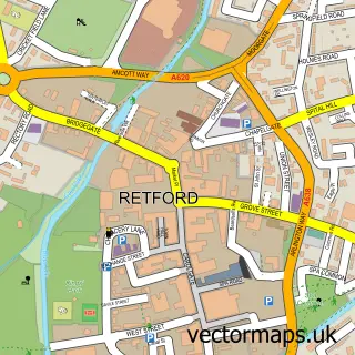
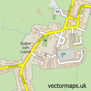
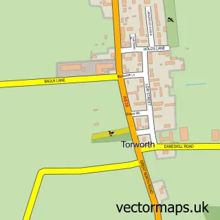
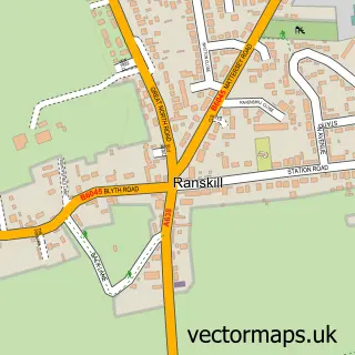
Nearby street map samples around Barnby Moor

More street maps in Nottinghamshire
750 metre map area coverage
Boundary, postcode and point of interest information for the 750m x 750m rectangle centred on this sample map.
Boundaries containing map centre
Constituency: Bassetlaw Co Const
County: Nottinghamshire County
District: Bassetlaw District
Icb: NHS Nottingham and Nottinghamshire ICB
Parish: Barnby Moor CP
Police Force: nottinghamshire
Postcode District: DN22
Postcode Sector: DN22 8
Ward: Sutton Ward
Nearby boundaries intersecting sample
No additional intersecting boundaries found.
Postcode coverage
POI category counts
Hotel: 2
Pub: 2
Beauty Salon: 1
Business Consulting: 1
Campground: 1
Dance School: 1
Day Spa: 1
Gym: 1
Hair Salon: 1
Indian Restaurant: 1
Sample points of interest
- The Hair Boutique
- Dukeries Retreat
- Dukeries Retreat
- Staples Dance Academy
- Spa at Ye Olde Bell
- Ye Olde Bell Hotel & Spa
- Lux Aveda Hair Salon
- Ye Olde Bell Hotel & Restaurant
- Ye Olde Bell Hotel and Spa
- Yash
- Barnby Court
- The Rotary Club of Retford
Create a larger editable map of Barnby Moor
This sample shows only a 750 metre area. To create a larger map of Barnby Moor, use our map builder to choose your own coverage area, add titles and download editable SVG, PDF and PNG files.
Create a custom map of Barnby Moor