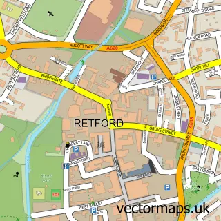
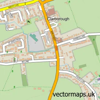
This Ordsall street map is a detailed vector street map covering a 750m x 750m area. Select a larger area to create and download your own vector street map of Ordsall.
The 750-metre map sample for Ordsall covers 622 mapped buildings and approximately 26.5 km of road detail, of which 46 named roads are named. The immediate area includes 3 GP surgeries within 2 miles, 3 pubs and 9 MOT stations within 2 miles. The wider area around Ordsall features 1 tourism point of interest, 4 food and drink venues and 1 campsite within 2 miles. To create a larger or custom map of Ordsall, the map builder lets you define your own coverage area and download editable SVG, PDF and PNG files.
Create a larger editable map of Ordsall
Choose any area you need and generate a high-quality vector map instantly. Perfect for print, planning, design, business and personal use.

This Ordsall street map in Nottinghamshire is available as downloadable SVG, PDF and PNG map files, or as a printed map for planning, business, display, education, local information and design work. You can also create a larger custom map area using the map selector.
What this Ordsall map sample shows
Ordsall lies within Eaton Cp parish, part of East Markham ward in the Bassetlaw District local authority area. The postcode geography for this area includes the DN postcode area, the DN22 postcode district and the DN22 0 postcode sector. Residents fall under the Nhs Nottingham And Nottinghamshire Integrated Care Board for NHS services.
Local features near Ordsall
Within 2 milesAmenities and services in and around Ordsall.
Administrative and postcode information for Ordsall
The local authority covering Ordsall is Bassetlaw District, within the county of Nottinghamshire. The settlement lies within East Markham ward and Eaton Cp civil parish. The DN22 postcode district and DN22 0 postcode sector serve the immediate area. NHS provision in the area is delivered through Doncaster And Bassetlaw Teaching Hospitals Nhs Foundation Trust.
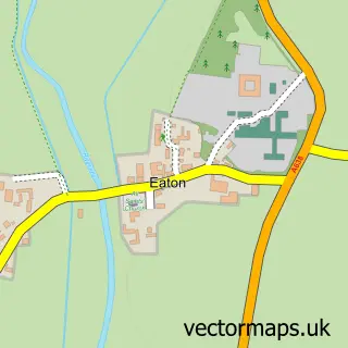
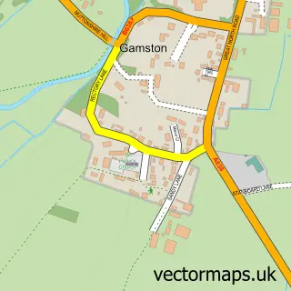
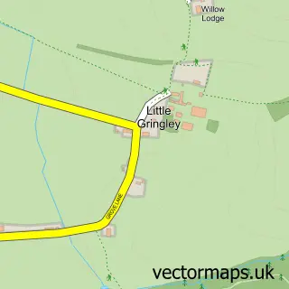
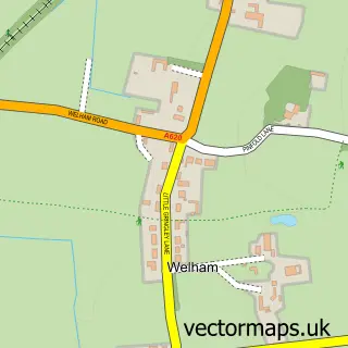
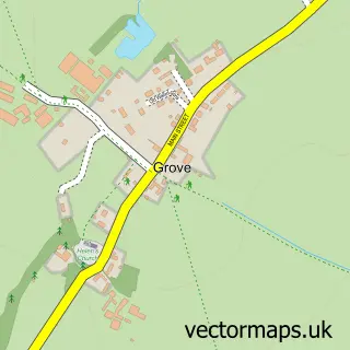
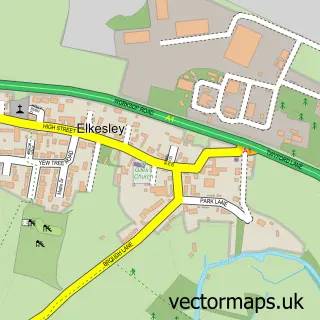
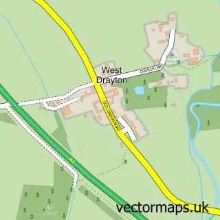
Nearby street map samples around Ordsall

More street maps in Nottinghamshire
750 metre map area coverage
Boundary, postcode and point of interest information for the 750m x 750m rectangle centred on this sample map.
Boundaries containing map centre
Constituency: Bassetlaw Co Const
County: Nottinghamshire County
District: Bassetlaw District
Icb: NHS Nottingham and Nottinghamshire ICB
Police Force: nottinghamshire
Postcode District: DN22
Postcode Sector: DN22 7
Ward: East Retford South Ward
Nearby boundaries intersecting sample
No additional intersecting boundaries found.
Postcode coverage
POI category counts
Convenience Store: 5
Contractor: 3
Pub: 3
Anglican Church: 2
Building Supply Store: 2
Arts And Crafts: 1
Atms: 1
Automotive Repair: 1
Beauty And Spa: 1
Books Mags Music And Video: 1
Sample points of interest
- All Hallows Church
- Ordsall: All Hallows
- Chris Aston Ceramics
- The Cooperative Food (BF) Ordsall, Ordsall
- Wheel come 2 u
- Hairspray Ordsall
- Post Office-Ordsall
- Ab-Joinery
- Servicemaster
- KTW car cleaning service
- Parish of Ordsall & Retford, St Michaels
- RNC Roof Cleaning
Create a larger editable map of Ordsall
This sample shows only a 750 metre area. To create a larger map of Ordsall, use our map builder to choose your own coverage area, add titles and download editable SVG, PDF and PNG files.
Create a custom map of Ordsall