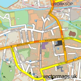
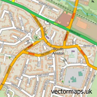
This Rhodesia street map is a detailed vector street map covering a 750m x 750m area. Select a larger area to create and download your own vector street map of Rhodesia.
The 750-metre map sample for Rhodesia covers 338 mapped buildings and approximately 25.9 km of road detail, of which 17 named roads are named. The immediate area includes 1 school, 2 GP surgeries within 2 miles, 3 pubs and 22 MOT stations within 2 miles. The wider area around Rhodesia features 3 food and drink venues and 1 hotel. To create a larger or custom map of Rhodesia, the map builder lets you define your own coverage area and download editable SVG, PDF and PNG files.
Create a larger editable map of Rhodesia
Choose any area you need and generate a high-quality vector map instantly. Perfect for print, planning, design, business and personal use.

This Rhodesia street map in Nottinghamshire is available as downloadable SVG, PDF and PNG map files, or as a printed map for planning, business, display, education, local information and design work. You can also create a larger custom map area using the map selector.
What this Rhodesia map sample shows
Rhodesia lies within Rhodesia Cp parish, part of Worksop North West ward in the Bassetlaw District local authority area. The postcode geography for this area includes the S postcode area, the S80 postcode district and the S80 3 postcode sector. Residents fall under the Nhs Nottingham And Nottinghamshire Integrated Care Board for NHS services.
Local features near Rhodesia
Within 2 milesAmenities and services in and around Rhodesia.
Administrative and postcode information for Rhodesia
The local authority covering Rhodesia is Bassetlaw District, within the county of Nottinghamshire. The settlement lies within Worksop North West ward and Rhodesia Cp civil parish. The S80 postcode district and S80 3 postcode sector serve the immediate area. NHS provision in the area is delivered through Doncaster And Bassetlaw Teaching Hospitals Nhs Foundation Trust.
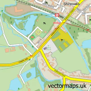
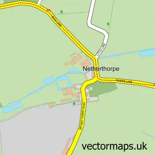
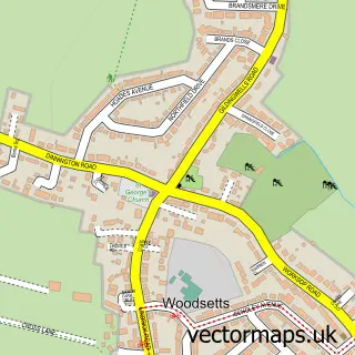
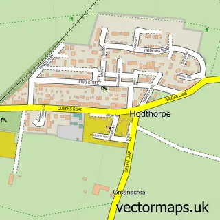
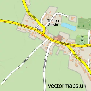
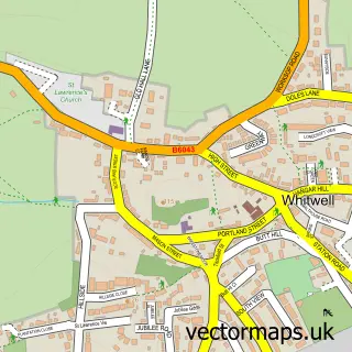
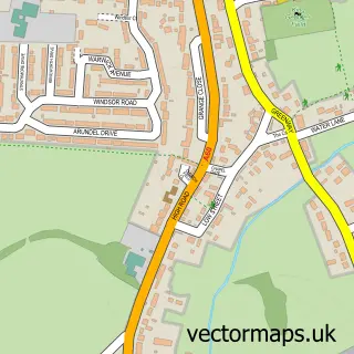
Nearby street map samples around Rhodesia

More street maps in Nottinghamshire
750 metre map area coverage
Boundary, postcode and point of interest information for the 750m x 750m rectangle centred on this sample map.
Boundaries containing map centre
Constituency: Bassetlaw Co Const
County: Nottinghamshire County
District: Bassetlaw District
Icb: NHS Nottingham and Nottinghamshire ICB
Parish: Rhodesia CP
Police Force: nottinghamshire
Postcode District: S80
Postcode Sector: S80 3
Ward: Worksop North West Ward
Nearby boundaries intersecting sample
Parish: Shireoaks CP
Postcode District: S81
Postcode Sector: S81 8
Postcode coverage
POI category counts
Pub: 3
Convenience Store: 2
Shopping: 2
Atms: 1
Building Contractor: 1
Child Care And Day Care: 1
Electrician: 1
Elementary School: 1
Gardener: 1
Grocery Store: 1
Sample points of interest
- PayPoint
- Tower Fencing
- North Worksop Childrens Centre
- Post Office-Rhodesia
- Premier Rhodesia Store
- Test Express
- Haggonfields Primary School
- Greensleeves Lawn Care South Sheffield
- Rhodesia Store
- Rhodes Point, Worksop - Gleeson Homes
- Premier Inn Worksop hotel
- Elaine Searston Makeup Artist & Beauty Therapist
Create a larger editable map of Rhodesia
This sample shows only a 750 metre area. To create a larger map of Rhodesia, use our map builder to choose your own coverage area, add titles and download editable SVG, PDF and PNG files.
Create a custom map of Rhodesia