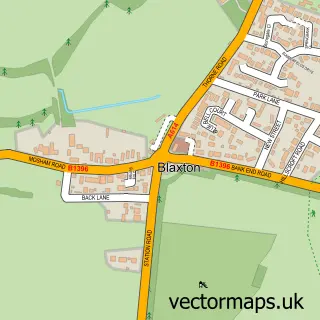
This Austerfield street map is a detailed vector street map covering a 750m x 750m area. Select a larger area to create and download your own vector street map of Austerfield.
The 750-metre map sample for Austerfield covers 134 mapped buildings and approximately 5.3 km of road detail, of which 6 named roads are named. The immediate area includes 2 GP surgeries within 2 miles, 2 pubs and 4 MOT stations within 2 miles. The wider area around Austerfield features 1 tourism point of interest and 2 food and drink venues. To create a larger or custom map of Austerfield, the map builder lets you define your own coverage area and download editable SVG, PDF and PNG files.
Create a larger editable map of Austerfield
Choose any area you need and generate a high-quality vector map instantly. Perfect for print, planning, design, business and personal use.

This Austerfield street map in South Yorkshire is available as downloadable SVG, PDF and PNG map files, or as a printed map for planning, business, display, education, local information and design work. You can also create a larger custom map area using the map selector.
What this Austerfield map sample shows
Austerfield lies within Austerfield Cp parish, part of Rossington & Bawtry ward in the Doncaster District (B) local authority area. The postcode geography for this area includes the DN postcode area, the DN10 postcode district and the DN10 6 postcode sector. Residents fall under the Nhs South Yorkshire Integrated Care Board for NHS services.
Local features near Austerfield
Within 2 milesAmenities and services in and around Austerfield.
Administrative and postcode information for Austerfield
The local authority covering Austerfield is Doncaster District (B), within the county of South Yorkshire. The settlement lies within Rossington & Bawtry ward and Austerfield Cp civil parish. The DN10 postcode district and DN10 6 postcode sector serve the immediate area. NHS provision in the area is delivered through Doncaster And Bassetlaw Teaching Hospitals Nhs Foundation Trust.
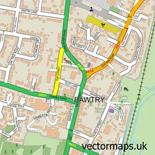
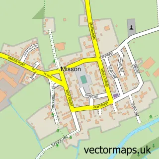
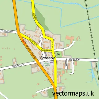
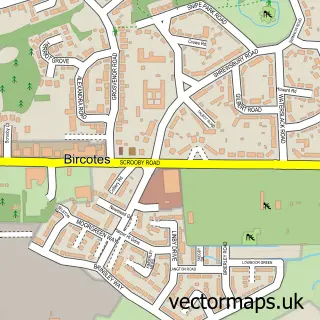
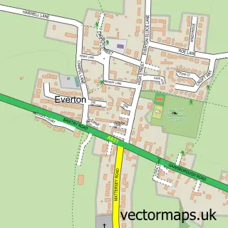
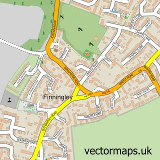
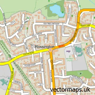
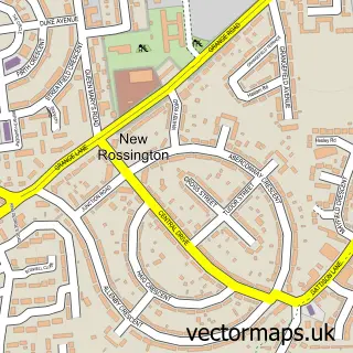
Nearby street map samples around Austerfield

More street maps in South Yorkshire
750 metre map area coverage
Boundary, postcode and point of interest information for the 750m x 750m rectangle centred on this sample map.
Boundaries containing map centre
Constituency: Doncaster East and the Isle of Axholme Co Const
District: Doncaster District (B)
Icb: NHS South Yorkshire ICB
Parish: Austerfield CP
Police Force: south yorkshire
Postcode District: DN10
Postcode Sector: DN10 6
Ward: Rossington & Bawtry Ward
Nearby boundaries intersecting sample
No additional intersecting boundaries found.
Postcode coverage
POI category counts
Pub: 2
Church Cathedral: 1
Community Services Non Profits: 1
Education: 1
Gastropub: 1
Home Service: 1
Industrial Company: 1
Lodge: 1
Park: 1
Wildlife Sanctuary: 1
Sample points of interest
- St Helena's Church
- Austerfield Study Centre & Community Hub
- Austerfield Field Study Centre
- The Mayflower
- Hoglets Daycare and Forest School
- Bawtry Carbon International
- Home Farm and Lodge
- Austerfield Playground " Park "
- Mayflower Bar Eatery And Boutique Inn
- Mayflower Grill and Eatery
- Austerfield Nature Reserve
Create a larger editable map of Austerfield
This sample shows only a 750 metre area. To create a larger map of Austerfield, use our map builder to choose your own coverage area, add titles and download editable SVG, PDF and PNG files.
Create a custom map of Austerfield