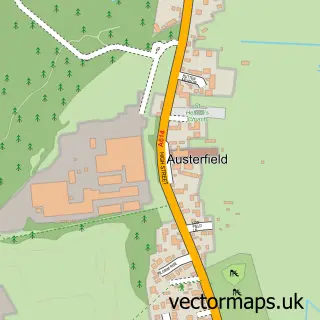
This Bawtry street map is a detailed vector street map covering a 750m x 750m area. Select a larger area to create and download your own vector street map of Bawtry.
The 750-metre map sample for Bawtry covers 469 mapped buildings and approximately 24.0 km of road detail, of which 41 named roads are named. The immediate area includes 1 school, 2 GP surgeries, 6 pubs and 1 MOT station, with 3 within 2 miles. The wider area around Bawtry features 2 tourism points of interest, 11 food and drink venues and 2 hotels. To create a larger or custom map of Bawtry, the map builder lets you define your own coverage area and download editable SVG, PDF and PNG files.
Create a larger editable map of Bawtry
Choose any area you need and generate a high-quality vector map instantly. Perfect for print, planning, design, business and personal use.

This Bawtry street map in South Yorkshire is available as downloadable SVG, PDF and PNG map files, or as a printed map for planning, business, display, education, local information and design work. You can also create a larger custom map area using the map selector.
What this Bawtry map sample shows
Bawtry lies within Bawtry Cp parish, part of Rossington & Bawtry ward in the Doncaster District (B) local authority area. The postcode geography for this area includes the DN postcode area, the DN10 postcode district and the DN10 6 postcode sector. Residents fall under the Nhs South Yorkshire Integrated Care Board for NHS services.
Local features near Bawtry
Within 2 milesAmenities and services in and around Bawtry.
Administrative and postcode information for Bawtry
Bawtry lies within Bawtry Cp parish, part of Rossington & Bawtry ward in the Doncaster District (B) local authority area. The postcode geography for this area includes the DN postcode area, the DN10 postcode district and the DN10 6 postcode sector. Residents fall under the Nhs South Yorkshire Integrated Care Board for NHS services.
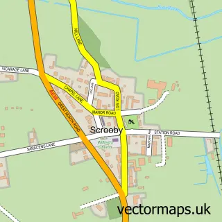
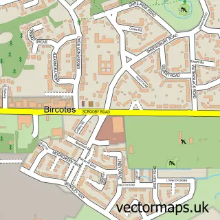
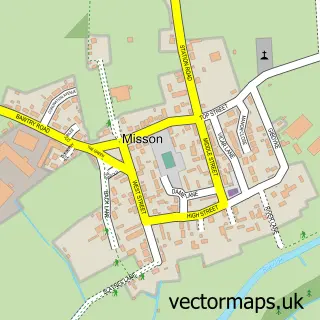
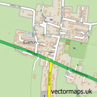
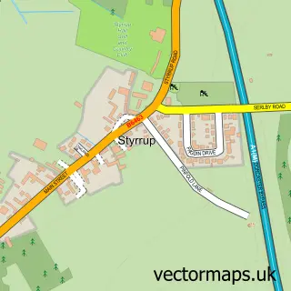
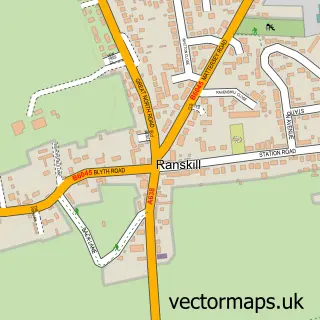
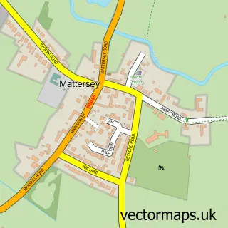
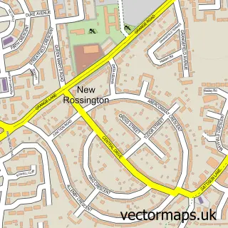
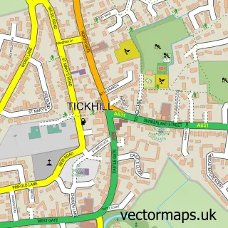
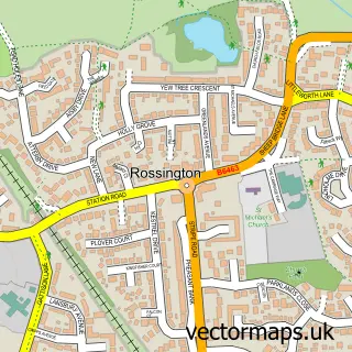
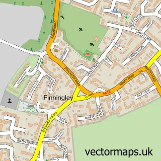
Nearby street map samples around Bawtry

More street maps in South Yorkshire
750 metre map area coverage
Boundary, postcode and point of interest information for the 750m x 750m rectangle centred on this sample map.
Boundaries containing map centre
Constituency: Doncaster East and the Isle of Axholme Co Const
District: Doncaster District (B)
Icb: NHS South Yorkshire ICB
Parish: Bawtry CP
Police Force: south yorkshire
Postcode District: DN10
Postcode Sector: DN10 6
Ward: Rossington & Bawtry Ward
Nearby boundaries intersecting sample
No additional intersecting boundaries found.
Postcode coverage
POI category counts
Beauty Salon: 26
Hair Salon: 15
Barber: 6
Pub: 6
Beauty And Spa: 5
Flowers And Gifts Shop: 5
Accountant: 4
Church Cathedral: 4
Contractor: 4
Convenience Store: 4
Sample points of interest
- Bawtry Accountants
- D&K accounting
- Datasort
- Greenline Accountants
- Liet Clinic
- St Nicholas Church
- John Bird Studio
- Limited 2 Art
- Krafty & Creative
- Bawtry Motor Auctions
- John H Pickup & Co
- FLP Group
Create a larger editable map of Bawtry
This sample shows only a 750 metre area. To create a larger map of Bawtry, use our map builder to choose your own coverage area, add titles and download editable SVG, PDF and PNG files.
Create a custom map of Bawtry