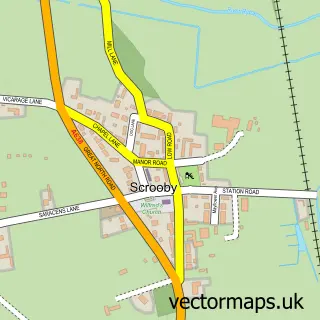
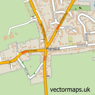
This Everton street map is a detailed vector street map covering a 750m x 750m area. Select a larger area to create and download your own vector street map of Everton.
The 750-metre map sample for Everton covers 270 mapped buildings and approximately 18.8 km of road detail, of which 21 named roads are named. The immediate area includes 1 school, 3 pubs and 1 MOT station within 2 miles. The wider area around Everton features 1 tourism point of interest and 5 food and drink venues. To create a larger or custom map of Everton, the map builder lets you define your own coverage area and download editable SVG, PDF and PNG files.
Create a larger editable map of Everton
Choose any area you need and generate a high-quality vector map instantly. Perfect for print, planning, design, business and personal use.

This Everton street map in Nottinghamshire is available as downloadable SVG, PDF and PNG map files, or as a printed map for planning, business, display, education, local information and design work. You can also create a larger custom map area using the map selector.
What this Everton map sample shows
Everton lies within Everton Cp parish, part of Everton ward in the Bassetlaw District local authority area. The postcode geography for this area includes the DN postcode area, the DN10 postcode district and the DN10 5 postcode sector. Residents fall under the Nhs Nottingham And Nottinghamshire Integrated Care Board for NHS services.
Local features near Everton
Within 2 milesAmenities and services in and around Everton.
Administrative and postcode information for Everton
Everton lies within Everton Cp parish, part of Everton ward in the Bassetlaw District local authority area. The postcode geography for this area includes the DN postcode area, the DN10 postcode district and the DN10 5 postcode sector. Residents fall under the Nhs Nottingham And Nottinghamshire Integrated Care Board for NHS services.
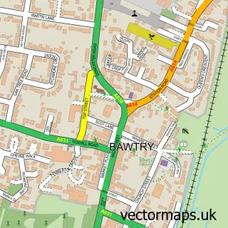
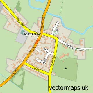
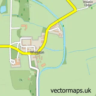
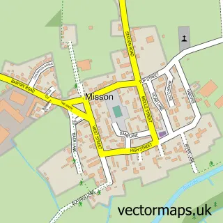
Nearby street map samples around Everton

More street maps in Nottinghamshire
750 metre map area coverage
Boundary, postcode and point of interest information for the 750m x 750m rectangle centred on this sample map.
Boundaries containing map centre
Constituency: Bassetlaw Co Const
County: Nottinghamshire County
District: Bassetlaw District
Icb: NHS Nottingham and Nottinghamshire ICB
Parish: Everton CP
Police Force: nottinghamshire
Postcode District: DN10
Postcode Sector: DN10 5
Ward: Everton Ward
Nearby boundaries intersecting sample
No additional intersecting boundaries found.
Postcode coverage
POI category counts
Pub: 3
Disability Law: 2
Printing Services: 2
Attractions And Activities: 1
Bridal Shop: 1
Building Supply Store: 1
Cafe: 1
Church Cathedral: 1
Elementary School: 1
Employment Agencies: 1
Sample points of interest
- Sally's Field Everton
- Croft Wedding Stationery
- Green Stripe Garden Services
- So Good It Yurts
- Holy Trinity Church
- Birds & Animals 1 Voyage Care
- Hall Farm Voyage Care
- Everton Primary School
- Lync H R
- Woodland View Equestrian Centre
- Christmas Eve Shop
- McGuigan Design
Create a larger editable map of Everton
This sample shows only a 750 metre area. To create a larger map of Everton, use our map builder to choose your own coverage area, add titles and download editable SVG, PDF and PNG files.
Create a custom map of Everton