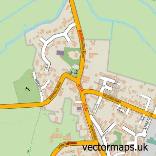
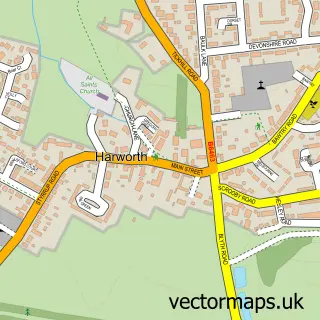
This Scrooby street map is a detailed vector street map covering a 750m x 750m area. Select a larger area to create and download your own vector street map of Scrooby.
The 750-metre map sample for Scrooby covers 140 mapped buildings and approximately 16.7 km of road detail, of which 11 named roads are named. The immediate area includes 2 GP surgeries within 2 miles, 3 pubs and 3 MOT stations within 2 miles. The wider area around Scrooby features 3 food and drink venues. To create a larger or custom map of Scrooby, the map builder lets you define your own coverage area and download editable SVG, PDF and PNG files.
Create a larger editable map of Scrooby
Choose any area you need and generate a high-quality vector map instantly. Perfect for print, planning, design, business and personal use.

This Scrooby street map in Nottinghamshire is available as downloadable SVG, PDF and PNG map files, or as a printed map for planning, business, display, education, local information and design work. You can also create a larger custom map area using the map selector.
What this Scrooby map sample shows
Scrooby lies within Scrooby Cp parish, part of Blyth ward in the Bassetlaw District local authority area. The postcode geography for this area includes the DN postcode area, the DN10 postcode district and the DN10 6 postcode sector. Residents fall under the Nhs Nottingham And Nottinghamshire Integrated Care Board for NHS services.
Local features near Scrooby
Within 2 milesAmenities and services in and around Scrooby.
Administrative and postcode information for Scrooby
The local authority covering Scrooby is Bassetlaw District, within the county of Nottinghamshire. The settlement lies within Blyth ward and Scrooby Cp civil parish. The DN10 postcode district and DN10 6 postcode sector serve the immediate area. NHS provision in the area is delivered through Doncaster And Bassetlaw Teaching Hospitals Nhs Foundation Trust.
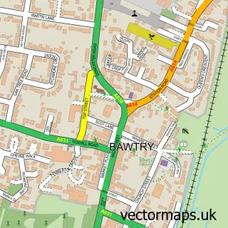
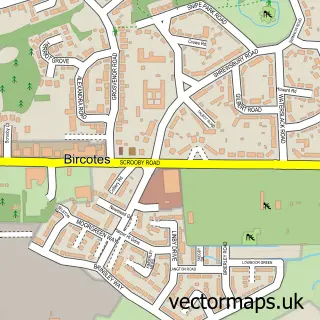
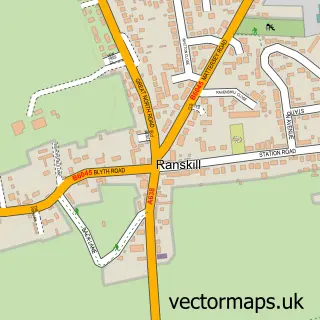
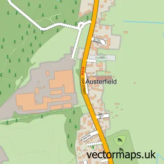
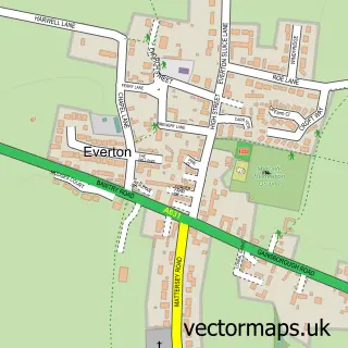
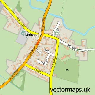
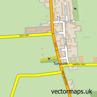
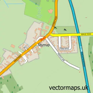
Nearby street map samples around Scrooby

More street maps in Nottinghamshire
750 metre map area coverage
Boundary, postcode and point of interest information for the 750m x 750m rectangle centred on this sample map.
Boundaries containing map centre
Constituency: Bassetlaw Co Const
County: Nottinghamshire County
District: Bassetlaw District
Icb: NHS Nottingham and Nottinghamshire ICB
Parish: Scrooby CP
Police Force: nottinghamshire
Postcode District: DN10
Postcode Sector: DN10 6
Ward: Blyth Ward
Nearby boundaries intersecting sample
No additional intersecting boundaries found.
Postcode coverage
POI category counts
Pub: 3
Property Management: 2
Scout Hall: 2
Train Station: 2
Anglican Church: 1
Flooring Contractors: 1
Gardener: 1
Landscaping: 1
Music School: 1
Pet Services: 1
Sample points of interest
- St Wilfrid's Church
- Challenge Carpet & Upholstery Cleaners
- North Notts Landscapes
- Westwood Grounds Specialists
- Vivo Music Studio
- Happy Cats Hotel
- Scrooby Parish Council
- Green Block
- Green block
- Pilgrim Fathers
- The Pilgrim Fathers
- The Pilgrim Fathers
Create a larger editable map of Scrooby
This sample shows only a 750 metre area. To create a larger map of Scrooby, use our map builder to choose your own coverage area, add titles and download editable SVG, PDF and PNG files.
Create a custom map of Scrooby