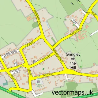
This Misson street map is a detailed vector street map covering a 750m x 750m area. Select a larger area to create and download your own vector street map of Misson.
The 750-metre map sample for Misson covers 265 mapped buildings and approximately 12.1 km of road detail, of which 18 named roads are named. The immediate area includes 1 school, 2 pubs and 1 MOT station. The wider area around Misson features 1 tourism point of interest and 4 food and drink venues. To create a larger or custom map of Misson, the map builder lets you define your own coverage area and download editable SVG, PDF and PNG files.
Create a larger editable map of Misson
Choose any area you need and generate a high-quality vector map instantly. Perfect for print, planning, design, business and personal use.

This Misson street map in Nottinghamshire is available as downloadable SVG, PDF and PNG map files, or as a printed map for planning, business, display, education, local information and design work. You can also create a larger custom map area using the map selector.
What this Misson map sample shows
Misson lies within Misson Cp parish, part of Everton ward in the Bassetlaw District local authority area. The postcode geography for this area includes the DN postcode area, the DN10 postcode district and the DN10 6 postcode sector. Residents fall under the Nhs Nottingham And Nottinghamshire Integrated Care Board for NHS services.
Local features near Misson
Within 2 milesAmenities and services in and around Misson.
Administrative and postcode information for Misson
The local authority covering Misson is Bassetlaw District, within the county of Nottinghamshire. The settlement lies within Everton ward and Misson Cp civil parish. The DN10 postcode district and DN10 6 postcode sector serve the immediate area. NHS provision in the area is delivered through Doncaster And Bassetlaw Teaching Hospitals Nhs Foundation Trust.
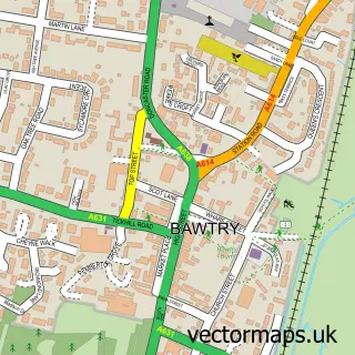
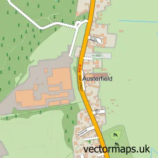
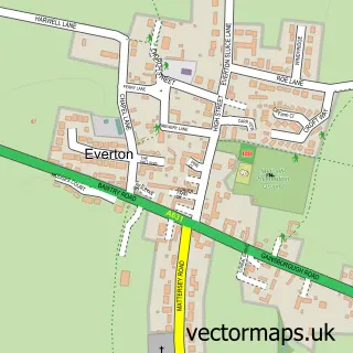
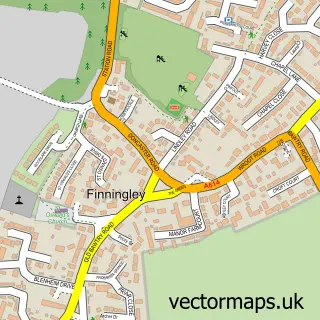
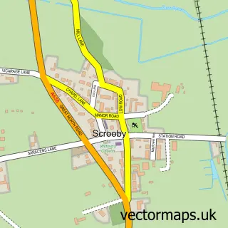
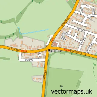
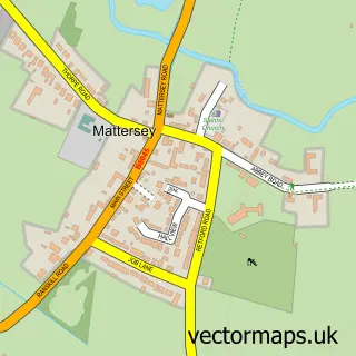
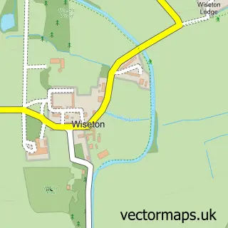
Nearby street map samples around Misson

More street maps in Nottinghamshire
750 metre map area coverage
Boundary, postcode and point of interest information for the 750m x 750m rectangle centred on this sample map.
Boundaries containing map centre
Constituency: Bassetlaw Co Const
County: Nottinghamshire County
District: Bassetlaw District
Icb: NHS Nottingham and Nottinghamshire ICB
Parish: Misson CP
Police Force: nottinghamshire
Postcode District: DN10
Postcode Sector: DN10 6
Ward: Everton Ward
Nearby boundaries intersecting sample
Parish: Everton CP
Postcode Sector: DN10 5
Postcode coverage
POI category counts
Community Services Non Profits: 3
Cafe: 2
Pub: 2
Anglican Church: 1
Antique Store: 1
Arts And Entertainment: 1
Automotive Repair: 1
Beauty Salon: 1
Business Manufacturing And Supply: 1
Church Cathedral: 1
Sample points of interest
- St John the Baptist
- Vintage Interior Products
- David Curtis
- Misson Vehicle Services MVS
- Mulberry Court Hair Studio
- Rushbys Concrete Products
- Cafe 28 at The Mill
- Linda's Cafe Misson
- Misson Church
- Misson Community Association
- Misson Mill Donation & Sort Point
- Misson and Springs WI
Create a larger editable map of Misson
This sample shows only a 750 metre area. To create a larger map of Misson, use our map builder to choose your own coverage area, add titles and download editable SVG, PDF and PNG files.
Create a custom map of Misson