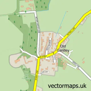
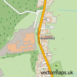
This Blaxton street map is a detailed vector street map covering a 750m x 750m area. Select a larger area to create and download your own vector street map of Blaxton.
The 750-metre map sample for Blaxton covers 231 mapped buildings and approximately 11.9 km of road detail, of which 14 named roads are named. The immediate area includes 1 pub and 2 MOT stations within 2 miles. The wider area around Blaxton features 1 tourism point of interest, 1 food and drink venue and 1 hotel. To create a larger or custom map of Blaxton, the map builder lets you define your own coverage area and download editable SVG, PDF and PNG files.
Create a larger editable map of Blaxton
Choose any area you need and generate a high-quality vector map instantly. Perfect for print, planning, design, business and personal use.

This Blaxton street map in South Yorkshire is available as downloadable SVG, PDF and PNG map files, or as a printed map for planning, business, display, education, local information and design work. You can also create a larger custom map area using the map selector.
What this Blaxton map sample shows
Blaxton lies within Blaxton Cp parish, part of Finningley ward in the Doncaster District (B) local authority area. The postcode geography for this area includes the DN postcode area, the DN9 postcode district and the DN9 3 postcode sector. Residents fall under the Nhs South Yorkshire Integrated Care Board for NHS services.
Local features near Blaxton
Within 2 milesAmenities and services in and around Blaxton.
Administrative and postcode information for Blaxton
Blaxton lies within Blaxton Cp parish, part of Finningley ward in the Doncaster District (B) local authority area. The postcode geography for this area includes the DN postcode area, the DN9 postcode district and the DN9 3 postcode sector. Residents fall under the Nhs South Yorkshire Integrated Care Board for NHS services.
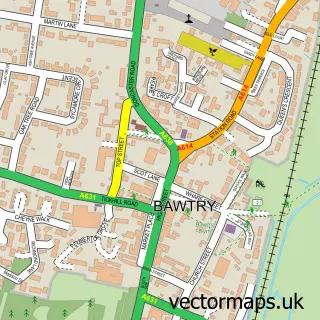
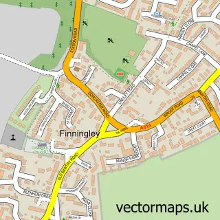
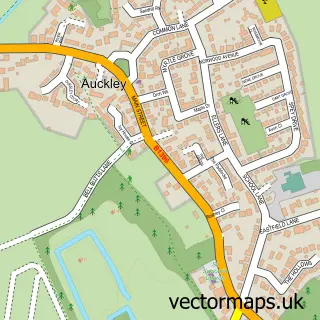
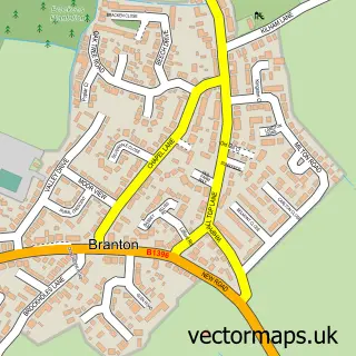
Nearby street map samples around Blaxton

More street maps in South Yorkshire
750 metre map area coverage
Boundary, postcode and point of interest information for the 750m x 750m rectangle centred on this sample map.
Boundaries containing map centre
Constituency: Doncaster East and the Isle of Axholme Co Const
District: Doncaster District (B)
Icb: NHS South Yorkshire ICB
Parish: Blaxton CP
Police Force: south yorkshire
Postcode District: DN9
Postcode Sector: DN9 3
Ward: Finningley Ward
Nearby boundaries intersecting sample
Parish: Finningley CP
Postcode coverage
POI category counts
Professional Services: 2
Roofing: 2
Automotive Repair: 1
Beauty Salon: 1
Building Contractor: 1
Business Consulting: 1
Community Center: 1
Contractor: 1
Garbage Collection Service: 1
Home Service: 1
Sample points of interest
- The Old Station Garage
- Vanillas Beauty
- E Y G
- Sovereign Risk Solutions
- Blaxton Village Hall
- Driveways of Distinction
- Skips Direct
- Jayne's Day Care
- Barnside Cottage
- Blaxton
- Beech Grove Nurseries
- J S Plumbing Services
Create a larger editable map of Blaxton
This sample shows only a 750 metre area. To create a larger map of Blaxton, use our map builder to choose your own coverage area, add titles and download editable SVG, PDF and PNG files.
Create a custom map of Blaxton