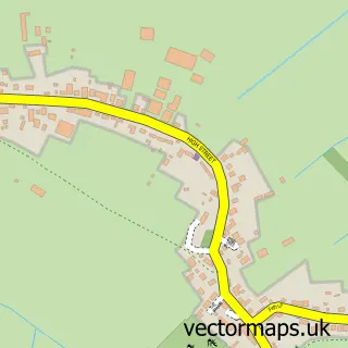
This Finningley street map is a detailed vector street map covering a 750m x 750m area. Select a larger area to create and download your own vector street map of Finningley.
The 750-metre map sample for Finningley covers 476 mapped buildings and approximately 18.2 km of road detail, of which 33 named roads are named. The immediate area includes 2 pubs and 2 MOT stations within 2 miles. The wider area around Finningley features 2 food and drink venues. To create a larger or custom map of Finningley, the map builder lets you define your own coverage area and download editable SVG, PDF and PNG files.
Create a larger editable map of Finningley
Choose any area you need and generate a high-quality vector map instantly. Perfect for print, planning, design, business and personal use.

This Finningley street map in South Yorkshire is available as downloadable SVG, PDF and PNG map files, or as a printed map for planning, business, display, education, local information and design work. You can also create a larger custom map area using the map selector.
What this Finningley map sample shows
Finningley lies within Finningley Cp parish, part of Finningley ward in the Doncaster District (B) local authority area. The postcode geography for this area includes the DN postcode area, the DN9 postcode district and the DN9 3 postcode sector. Residents fall under the Nhs South Yorkshire Integrated Care Board for NHS services.
Local features near Finningley
Within 2 milesAmenities and services in and around Finningley.
Administrative and postcode information for Finningley
Finningley lies within Finningley Cp parish, part of Finningley ward in the Doncaster District (B) local authority area. The postcode geography for this area includes the DN postcode area, the DN9 postcode district and the DN9 3 postcode sector. Residents fall under the Nhs South Yorkshire Integrated Care Board for NHS services.
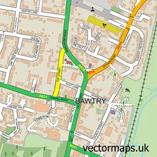
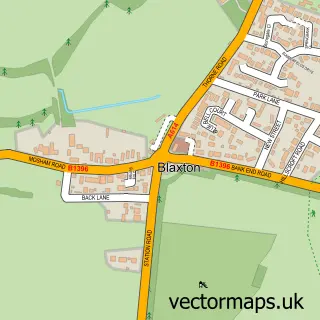
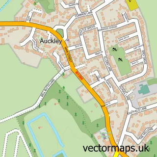
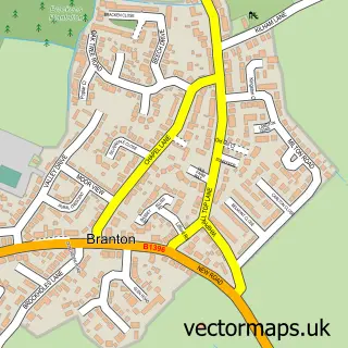
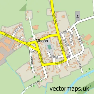
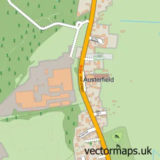
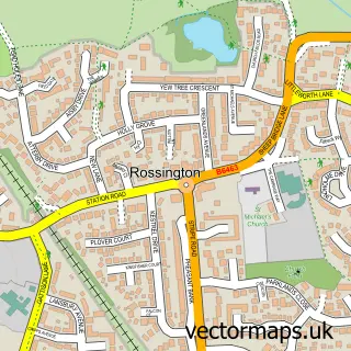
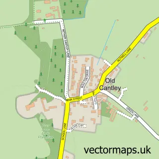
Nearby street map samples around Finningley

More street maps in South Yorkshire
750 metre map area coverage
Boundary, postcode and point of interest information for the 750m x 750m rectangle centred on this sample map.
Boundaries containing map centre
Constituency: Doncaster East and the Isle of Axholme Co Const
District: Doncaster District (B)
Icb: NHS South Yorkshire ICB
Parish: Finningley CP
Police Force: south yorkshire
Postcode District: DN9
Postcode Sector: DN9 3
Ward: Finningley Ward
Nearby boundaries intersecting sample
Parish: Blaxton CP
Postcode coverage
POI category counts
Building Supply Store: 2
Car Rental Agency: 2
Cosmetology School: 2
Pub: 2
Accommodation: 1
Anglican Church: 1
Automotive Services And Repair: 1
Beauty Salon: 1
Beer Bar: 1
Carpenter: 1
Sample points of interest
- Finningley Village
- Holy Trinity & St Oswald
- Intreface
- By Ella Georgia
- The Kelsey Office
- CW Environmental & Roofing Services
- Finningley Scaffolding
- Hertz Car Hire
- Hertz Rent a Car
- Greenfield Joinery
- xtreme eco clean
- Golden Sun
Create a larger editable map of Finningley
This sample shows only a 750 metre area. To create a larger map of Finningley, use our map builder to choose your own coverage area, add titles and download editable SVG, PDF and PNG files.
Create a custom map of Finningley