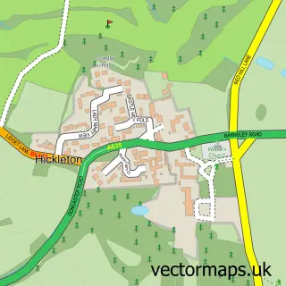
This High Melton street map is a detailed vector street map covering a 750m x 750m area. Select a larger area to create and download your own vector street map of High Melton.
The 750-metre map sample for High Melton covers 93 mapped buildings and approximately 4.0 km of road detail, of which 3 named roads are named. The immediate area includes 1 GP surgery within 2 miles and 5 MOT stations within 2 miles. The wider area around High Melton features 3 food and drink venues. To create a larger or custom map of High Melton, the map builder lets you define your own coverage area and download editable SVG, PDF and PNG files.
Create a larger editable map of High Melton
Choose any area you need and generate a high-quality vector map instantly. Perfect for print, planning, design, business and personal use.

This High Melton street map in South Yorkshire is available as downloadable SVG, PDF and PNG map files, or as a printed map for planning, business, display, education, local information and design work. You can also create a larger custom map area using the map selector.
What this High Melton map sample shows
High Melton lies within High Melton Cp parish, part of Sprotbrough ward in the Doncaster District (B) local authority area. The postcode geography for this area includes the DN postcode area, the DN5 postcode district and the DN5 7 postcode sector. Residents fall under the Nhs South Yorkshire Integrated Care Board for NHS services.
Local features near High Melton
Within 2 milesAmenities and services in and around High Melton.
Administrative and postcode information for High Melton
The local authority covering High Melton is Doncaster District (B), within the county of South Yorkshire. The settlement lies within Sprotbrough ward and High Melton Cp civil parish. The DN5 postcode district and DN5 7 postcode sector serve the immediate area. NHS provision in the area is delivered through Doncaster And Bassetlaw Teaching Hospitals Nhs Foundation Trust.
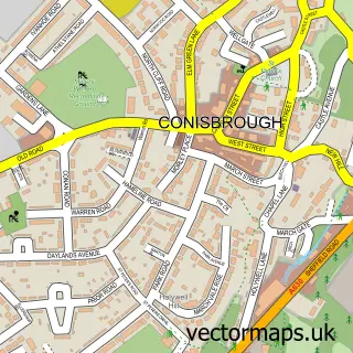
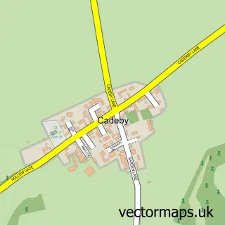
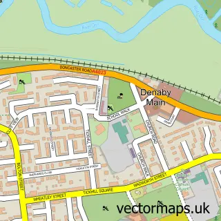
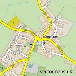
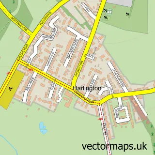
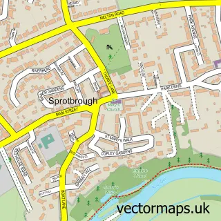
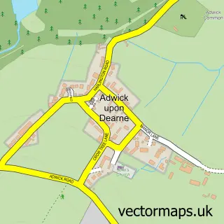
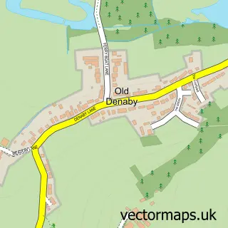
Nearby street map samples around High Melton

More street maps in South Yorkshire
750 metre map area coverage
Boundary, postcode and point of interest information for the 750m x 750m rectangle centred on this sample map.
Boundaries containing map centre
Constituency: Doncaster North Co Const
District: Doncaster District (B)
Icb: NHS South Yorkshire ICB
Parish: High Melton CP
Police Force: south yorkshire
Postcode District: DN5
Postcode Sector: DN5 7
Ward: Sprotbrough Ward
Nearby boundaries intersecting sample
Parish: Cadeby CP
Postcode coverage
POI category counts
Agricultural Service: 1
Cafe: 1
Chiropractor: 1
Church Cathedral: 1
Coffee Shop: 1
College University: 1
Education: 1
Forestry Service: 1
Key And Locksmith: 1
Laboratory: 1
Sample points of interest
- M and T Haylage - Global supplier of Hay and Haylage
- No.16 Coffee House & Bar
- Cura Health and Chiropractic
- St James' Church
- The Little Coffee Shop & Chocolate Co
- University Centre Doncaster
- High Melton Day Nursery
- M&T Haylage
- L.B Auto Car Key Services
- Mpc3 Limited
- The Stable Door
- The Stables - High Melton
Create a larger editable map of High Melton
This sample shows only a 750 metre area. To create a larger map of High Melton, use our map builder to choose your own coverage area, add titles and download editable SVG, PDF and PNG files.
Create a custom map of High Melton