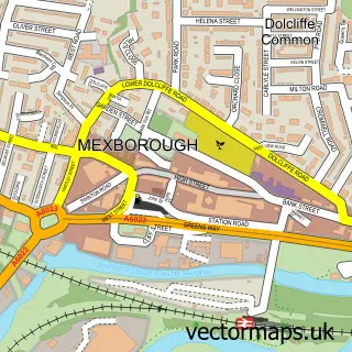
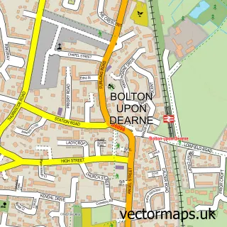
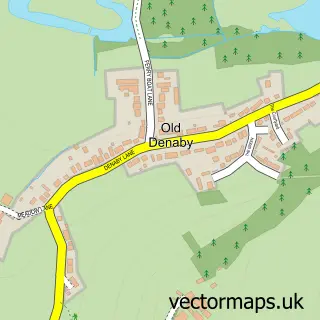
This Harlington street map is a detailed vector street map covering a 750m x 750m area. Select a larger area to create and download your own vector street map of Harlington.
The 750-metre map sample for Harlington covers 358 mapped buildings and approximately 10.3 km of road detail, of which 17 named roads are named. The immediate area includes 5 GP surgeries within 2 miles, 1 pub and 8 MOT stations within 2 miles. The wider area around Harlington features 1 tourism point of interest and 1 food and drink venue. To create a larger or custom map of Harlington, the map builder lets you define your own coverage area and download editable SVG, PDF and PNG files.
Create a larger editable map of Harlington
Choose any area you need and generate a high-quality vector map instantly. Perfect for print, planning, design, business and personal use.

This Harlington street map in South Yorkshire is available as downloadable SVG, PDF and PNG map files, or as a printed map for planning, business, display, education, local information and design work. You can also create a larger custom map area using the map selector.
What this Harlington map sample shows
Harlington lies within Barnburgh Cp parish, part of Sprotbrough ward in the Doncaster District (B) local authority area. The postcode geography for this area includes the DN postcode area, the DN5 postcode district and the DN5 7 postcode sector. Residents fall under the Nhs South Yorkshire Integrated Care Board for NHS services.
Local features near Harlington
Within 2 milesAmenities and services in and around Harlington.
Administrative and postcode information for Harlington
The local authority covering Harlington is Doncaster District (B), within the county of South Yorkshire. The settlement lies within Sprotbrough ward and Barnburgh Cp civil parish. The DN5 postcode district and DN5 7 postcode sector serve the immediate area. NHS provision in the area is delivered through Doncaster And Bassetlaw Teaching Hospitals Nhs Foundation Trust.
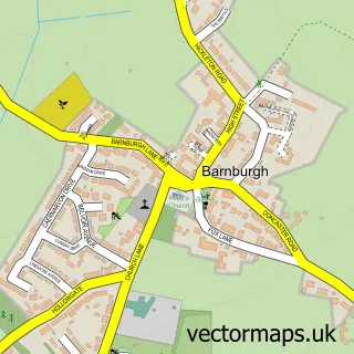
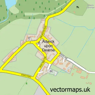
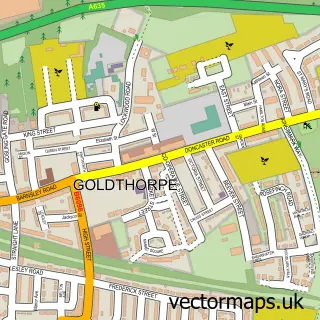
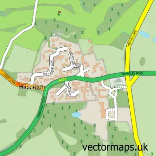
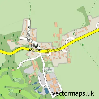
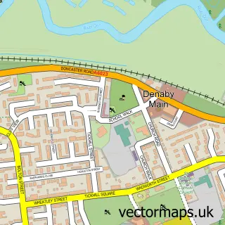
Nearby street map samples around Harlington

More street maps in South Yorkshire
750 metre map area coverage
Boundary, postcode and point of interest information for the 750m x 750m rectangle centred on this sample map.
Boundaries containing map centre
Constituency: Doncaster North Co Const
District: Doncaster District (B)
Icb: NHS South Yorkshire ICB
Parish: Barnburgh CP
Police Force: south yorkshire
Postcode District: DN5
Postcode Sector: DN5 7
Ward: Sprotbrough Ward
Nearby boundaries intersecting sample
Constituency: Barnsley South Co Const
District: Barnsley District (B)
Ward: Dearne South Ward
Postcode coverage
POI category counts
Professional Services: 3
Contractor: 2
Photography Store And Services: 2
Roofing: 2
Building Supply Store: 1
Corporate Entertainment Services: 1
Elementary School: 1
Event Technology Service: 1
Flowers And Gifts Shop: 1
Furniture Store: 1
Sample points of interest
- MSW Development Yorkshire
- T J Ceramics
- TJ Ceramics Ltd
- Guy Richardson Magic
- Barnburgh Primary School
- Cube Hire
- Sheila's Florist
- Bensons for Beds
- Harlington
- The Garden Room Therapies
- Hall Steve Photography
- Steve Hall Photography
Create a larger editable map of Harlington
This sample shows only a 750 metre area. To create a larger map of Harlington, use our map builder to choose your own coverage area, add titles and download editable SVG, PDF and PNG files.
Create a custom map of Harlington