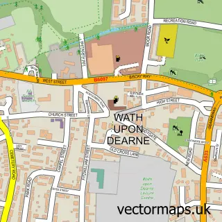
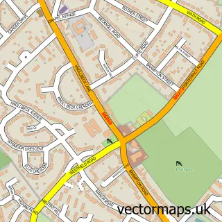
This Bolton upon Dearne street map is a detailed vector street map covering a 750m x 750m area. Select a larger area to create and download your own vector street map of Bolton upon Dearne.
The 750-metre map sample for Bolton upon Dearne covers 566 mapped buildings and approximately 18.0 km of road detail, of which 44 named roads are named. The immediate area includes 1 railway station, 5 GP surgeries within 2 miles, 2 pubs and 11 MOT stations within 2 miles. The wider area around Bolton upon Dearne features 3 food and drink venues. To create a larger or custom map of Bolton upon Dearne, the map builder lets you define your own coverage area and download editable SVG, PDF and PNG files.
Create a larger editable map of Bolton upon Dearne
Choose any area you need and generate a high-quality vector map instantly. Perfect for print, planning, design, business and personal use.

This Bolton upon Dearne street map in South Yorkshire is available as downloadable SVG, PDF and PNG map files, or as a printed map for planning, business, display, education, local information and design work. You can also create a larger custom map area using the map selector.
What this Bolton upon Dearne map sample shows
Bolton upon Dearne lies within Barnsley District (B) parish, part of Dearne South ward in the Barnsley District (B) local authority area. The postcode geography for this area includes the S postcode area, the S63 postcode district and the S63 8 postcode sector. Residents fall under the Nhs South Yorkshire Integrated Care Board for NHS services.
Local features near Bolton upon Dearne
Within 2 milesAmenities and services in and around Bolton upon Dearne.
Administrative and postcode information for Bolton upon Dearne
The local authority covering Bolton upon Dearne is Barnsley District (B), within the county of South Yorkshire. The settlement lies within Dearne South ward and Barnsley District (B) civil parish. The S63 postcode district and S63 8 postcode sector serve the immediate area. NHS provision in the area is delivered through Barnsley Hospital Nhs Foundation Trust.
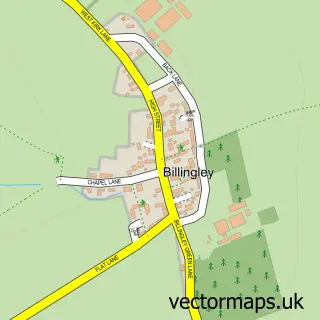
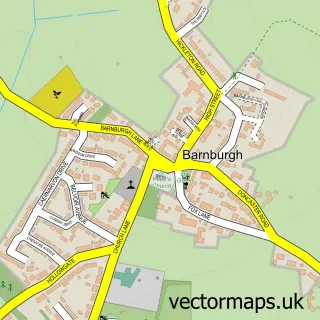
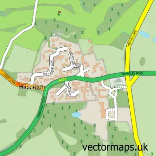
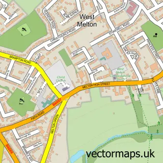
Nearby street map samples around Bolton upon Dearne

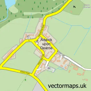
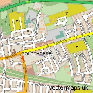
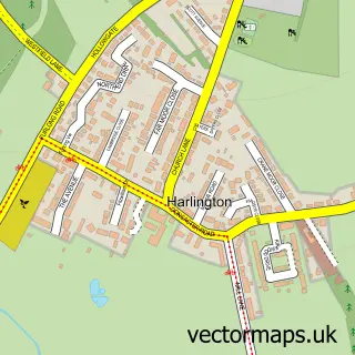
More street maps in South Yorkshire
750 metre map area coverage
Boundary, postcode and point of interest information for the 750m x 750m rectangle centred on this sample map.
Boundaries containing map centre
Constituency: Barnsley South Co Const
District: Barnsley District (B)
Icb: NHS South Yorkshire ICB
Police Force: south yorkshire
Postcode District: S63
Postcode Sector: S63 8
Ward: Dearne South Ward
Nearby boundaries intersecting sample
Postcode Sector: S63 9
Postcode coverage
POI category counts
Automotive Repair: 3
Beauty And Spa: 3
Pet Groomer: 3
Bar: 2
Beauty Salon: 2
Church Cathedral: 2
Convenience Store: 2
Home Cleaning: 2
Pub: 2
Public Service And Government: 2
Sample points of interest
- St Andrew the Apostle
- Elite Enhancement Detailing And Valeting Services
- Hometune
- Lowfield Road Dismantlers
- Motor Spares UK
- Butterflies & Angels
- Bolton On Dearne Ex Servicemen's Club
- Collingwood
- Hair to a T
- Pears
- The Styling Lounge
- MF Beauty Studio
Create a larger editable map of Bolton upon Dearne
This sample shows only a 750 metre area. To create a larger map of Bolton upon Dearne, use our map builder to choose your own coverage area, add titles and download editable SVG, PDF and PNG files.
Create a custom map of Bolton upon Dearne