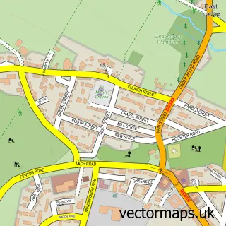
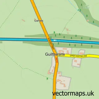
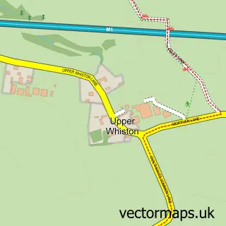
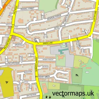
This Rotherham street map is a detailed vector street map covering a 750m x 750m area. Select a larger area to create and download your own vector street map of Rotherham.
The 750-metre map sample for Rotherham covers 212 mapped buildings and approximately 37.1 km of road detail, of which 74 named roads are named. The immediate area includes 1 school, 3 GP surgeries, with 13 within 2 miles, 17 pubs and 1 MOT station, with 44 within 2 miles. The wider area around Rotherham features 9 tourism points of interest, 56 food and drink venues and 3 hotels. To create a larger or custom map of Rotherham, the map builder lets you define your own coverage area and download editable SVG, PDF and PNG files.
Create a larger editable map of Rotherham
Choose any area you need and generate a high-quality vector map instantly. Perfect for print, planning, design, business and personal use.

This Rotherham street map in South Yorkshire is available as downloadable SVG, PDF and PNG map files, or as a printed map for planning, business, display, education, local information and design work. You can also create a larger custom map area using the map selector.
What this Rotherham map sample shows
Rotherham lies within Rotherham District (B) parish, part of Boston Castle ward in the Rotherham District (B) local authority area. The postcode geography for this area includes the S postcode area, the S60 postcode district and the S60 1 postcode sector. Residents fall under the Nhs South Yorkshire Integrated Care Board for NHS services.
Local features near Rotherham
Within 2 milesAmenities and services in and around Rotherham.
Administrative and postcode information for Rotherham
The local authority covering Rotherham is Rotherham District (B), within the county of South Yorkshire. The settlement lies within Boston Castle ward and Rotherham District (B) civil parish. The S60 postcode district and S60 1 postcode sector serve the immediate area. NHS provision in the area is delivered through The Rotherham Nhs Foundation Trust.
Nearby street map samples around Rotherham

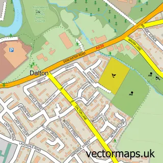
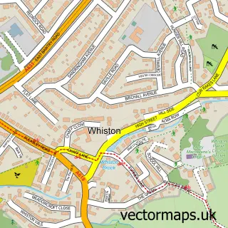
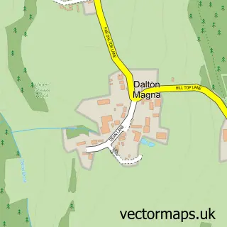
More street maps in South Yorkshire
750 metre map area coverage
Boundary, postcode and point of interest information for the 750m x 750m rectangle centred on this sample map.
Boundaries containing map centre
Constituency: Rotherham Boro Const
District: Rotherham District (B)
Icb: NHS South Yorkshire ICB
Police Force: south yorkshire
Postcode District: S65
Postcode Sector: S65 1
Ward: Boston Castle Ward
Nearby boundaries intersecting sample
Postcode District: S60
Postcode Sector: S60 1, S60 2, S65 2
Ward: Rotherham East Ward, Rotherham West Ward
Postcode coverage
POI category counts
Beauty Salon: 30
Cafe: 17
Pub: 17
Hair Salon: 15
Mobile Phone Store: 15
Barber: 14
Restaurant: 14
Flowers And Gifts Shop: 13
Jewelry Store: 13
Dentist: 12
Sample points of interest
- Am Accounts Services
- Anderton Liversidge & Co.
- Eccounting UK
- Haywood & Co.
- Robert Ogle Chartered Accountants
- SMH Haywood & Co. (Rotherham)
- Action For Employment
- Xtol Development Services
- LSL Property Services
- Advanced Executive Travel
- Advanced Travel
- Nobles Amusements
Create a larger editable map of Rotherham
This sample shows only a 750 metre area. To create a larger map of Rotherham, use our map builder to choose your own coverage area, add titles and download editable SVG, PDF and PNG files.
Create a custom map of Rotherham