Vector Maps logo
Home Why it works Popular maps Districts Samples Customizer Create Your Map
VectorMaps.uk
Home Popular maps Districts Samples Customizer Create Your Map Privacy Disclaimer
Home / UK Maps / South Yorkshire / Whiston Map

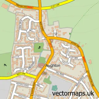
This Whiston street map is a detailed vector street map covering a 750m x 750m area. Select a larger area to create and download your own vector street map of Whiston.

Whiston is a village in South Yorkshire, in the Yorkshire And The Humber of England. Historically, the area formed part of Yorkshire. The settlement falls within the Rother Valley parliamentary constituency. It is served by the S60 postcode district, with

The 750-metre map sample for Whiston covers 549 mapped buildings and approximately 30.2 km of road detail, of which 42 named roads are named. The immediate area includes 1 school, 6 GP surgeries within 2 miles, 5 pubs and 11 MOT stations within 2 miles. The wider area around Whiston features 8 food and drink venues. To create a larger or custom map of Whiston, the map builder lets you define your own coverage area and download editable SVG, PDF and PNG files.

549Buildings
30.18 kmRoads
42Named roads
21,746Residents within 2 miles
Create your own

Create a larger editable map of Whiston

Choose any area you need and generate a high-quality vector map instantly. Perfect for print, planning, design, business and personal use.

Choose any location
Editable SVG files
Any size up to A0
PDF, PNG & more
Instant download
High quality guaranteed
Create My Custom Map
Secure, private & no credit card required
Whiston Vector Street Map
750m Sample
Whiston vector street map sample showing roads, buildings and local features in a 750 metre preview area
Buy Whiston Map Print from £12.95 Buy Whiston Digital Map from £6

This Whiston street map in South Yorkshire is available as downloadable SVG, PDF and PNG map files, or as a printed map for planning, business, display, education, local information and design work. You can also create a larger custom map area using the map selector.

What this Whiston map sample shows

Whiston lies within Whiston Cp parish, part of Sitwell ward in the Rotherham District (B) local authority area. The postcode geography for this area includes the S postcode area, the S60 postcode district and the S60 4 postcode sector. Residents fall under the Nhs South Yorkshire Integrated Care Board for NHS services.

Local features near Whiston

Within 2 miles

Amenities and services in and around Whiston.

1 Schools
6 GP surgeries within 2 miles
11 MOT stations within 2 miles
8 Food & drink
5 Pubs
4 Healthcare POIs
2 Vehicle services

Counts are approximate and based on publicly available data.

Administrative and postcode information for Whiston

The local authority covering Whiston is Rotherham District (B), within the county of South Yorkshire. The settlement lies within Sitwell ward and Whiston Cp civil parish. The S60 postcode district and S60 4 postcode sector serve the immediate area. NHS provision in the area is delivered through The Rotherham Nhs Foundation Trust.

Parish Whiston CP
Ward Sitwell
District / local authority Rotherham District (B)
County South Yorkshire
Historic county Yorkshire
Postcode district S60
Postcode sector S60 4
Parliamentary constituency Rother Valley
Region Yorkshire and the Humber
Country England

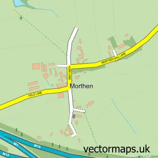
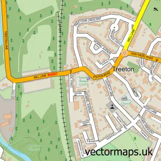
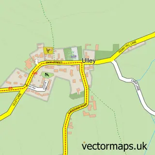
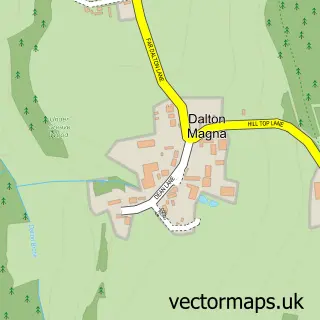
Nearby street map samples around Whiston

Street map sample of Rotherham, South Yorkshire Rotherham Town - South Yorkshire - 2.1 miles Street map sample of Sheffield, South Yorkshire Sheffield City - South Yorkshire - 6.2 miles Street map sample of Guilthwaite, South Yorkshire Guilthwaite Village - South Yorkshire - 0.6 miles Street map sample of Upper Whiston, South Yorkshire Upper Whiston Village - South Yorkshire - 0.9 miles Street map sample of Catcliffe, South Yorkshire Catcliffe Village - South Yorkshire - 1.8 miles Street map sample of Morthen, South Yorkshire Morthen Village - South Yorkshire - 1.8 miles Street map sample of Treeton, South Yorkshire Treeton Village - South Yorkshire - 1.8 miles Street map sample of Ulley, South Yorkshire Ulley Village - South Yorkshire - 2.0 miles Street map sample of Dalton Magna, South Yorkshire Dalton Magna Village - South Yorkshire - 2.1 miles Street map sample of Aughton, South Yorkshire Aughton Village - South Yorkshire - 2.3 miles

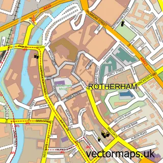
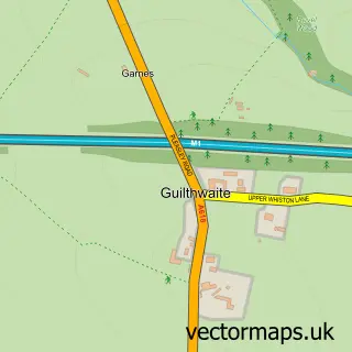
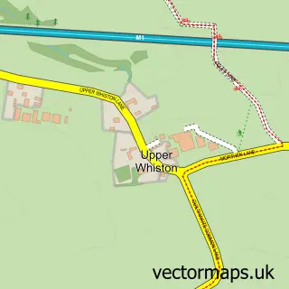
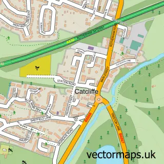
More street maps in South Yorkshire

Street map sample of Guilthwaite, South Yorkshire Guilthwaite Village - 0.6 miles Street map sample of Upper Whiston, South Yorkshire Upper Whiston Village - 0.9 miles Street map sample of Catcliffe, South Yorkshire Catcliffe Village - 1.8 miles Street map sample of Morthen, South Yorkshire Morthen Village - 1.8 miles Street map sample of Treeton, South Yorkshire Treeton Village - 1.8 miles

750 metre map area coverage

Boundary, postcode and point of interest information for the 750m x 750m rectangle centred on this sample map.

Boundaries containing map centre

Constituency: Rother Valley Co Const

District: Rotherham District (B)

Icb: NHS South Yorkshire ICB

Parish: Whiston CP

Police Force: south yorkshire

Postcode District: S60

Postcode Sector: S60 4

Ward: Sitwell Ward

Nearby boundaries intersecting sample

Postcode Sector: S60 3

Postcode coverage

S60 S60 4 S60 3

POI category counts

Pub: 5

Cafe: 3

Doctor: 3

Beauty Salon: 2

Church Cathedral: 2

Community Services Non Profits: 2

Gas Station: 2

Grocery Store: 2

Hair Salon: 2

Medical Center: 2

Sample points of interest

  • St Mary Magdalene Anglican Church
  • Total Recall Disco Arts And Entertainment
  • Bertie's Barbers Barber
  • The Beauty Box Beauty Salon
  • Tranquility Beauty Salon
  • Silk Suspension Bike Repair Maintenance
  • Gray Building Solutions Building Contractor
  • S & G Mini Digger Hire Building Supply Store
  • Punjab Cafe
  • Sheilas Shack Cafe
  • Veecafe2025 Cafe
  • Chinese Takeaway Chinese Restaurant

Create a larger editable map of Whiston

This sample shows only a 750 metre area. To create a larger map of Whiston, use our map builder to choose your own coverage area, add titles and download editable SVG, PDF and PNG files.

Create a custom map of Whiston

Phone 01751 473136 | Copyright Vectormaps.uk 2026

Samples Customizer Privacy Disclaimer
Whiston Vector Street Map
Whiston enlarged street map sample showing a 750 metre preview area