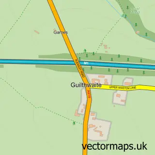
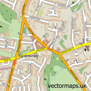
This Treeton street map is a detailed vector street map covering a 750m x 750m area. Select a larger area to create and download your own vector street map of Treeton.
The 750-metre map sample for Treeton covers 334 mapped buildings and approximately 19.0 km of road detail, of which 29 named roads are named. The immediate area includes 1 GP surgery, with 3 within 2 miles and 14 MOT stations within 2 miles. The wider area around Treeton features 2 food and drink venues. To create a larger or custom map of Treeton, the map builder lets you define your own coverage area and download editable SVG, PDF and PNG files.
Create a larger editable map of Treeton
Choose any area you need and generate a high-quality vector map instantly. Perfect for print, planning, design, business and personal use.

This Treeton street map in South Yorkshire is available as downloadable SVG, PDF and PNG map files, or as a printed map for planning, business, display, education, local information and design work. You can also create a larger custom map area using the map selector.
What this Treeton map sample shows
Treeton lies within Treeton Cp parish, part of Rother Vale ward in the Rotherham District (B) local authority area. The postcode geography for this area includes the S postcode area, the S60 postcode district and the S60 5 postcode sector. Residents fall under the Nhs South Yorkshire Integrated Care Board for NHS services.
Local features near Treeton
Within 2 milesAmenities and services in and around Treeton.
Administrative and postcode information for Treeton
The local authority covering Treeton is Rotherham District (B), within the county of South Yorkshire. The settlement lies within Rother Vale ward and Treeton Cp civil parish. The S60 postcode district and S60 5 postcode sector serve the immediate area. NHS provision in the area is delivered through The Rotherham Nhs Foundation Trust.
Nearby street map samples around Treeton
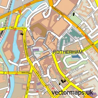

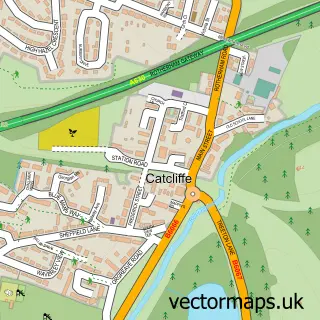
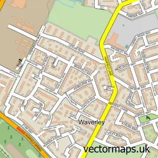
More street maps in South Yorkshire
750 metre map area coverage
Boundary, postcode and point of interest information for the 750m x 750m rectangle centred on this sample map.
Boundaries containing map centre
Constituency: Rotherham Boro Const
District: Rotherham District (B)
Icb: NHS South Yorkshire ICB
Parish: Treeton CP
Police Force: south yorkshire
Postcode District: S60
Postcode Sector: S60 5
Ward: Rother Vale Ward
Nearby boundaries intersecting sample
Parish: Waverley CP
Postcode District: S13
Postcode Sector: S13 9
Postcode coverage
POI category counts
Beauty Salon: 3
Professional Services: 3
Contractor: 2
Convenience Store: 2
Hair Salon: 2
Pet Services: 2
Pizza Restaurant: 2
Shipping Center: 2
Anglican Church: 1
Asian Restaurant: 1
Sample points of interest
- St Helen's Treeton
- Home Wok
- Treeton Baptist Church
- Just fays limited
- Hair By Leona at Just Fay's
- Lashed Out Loud
- Pampered and Polished
- Mr B's
- Church of St Helen, Treeton
- Treeton Reading Rooms
- Treeton Miners Welfare
- Glenwood Kitchens
Create a larger editable map of Treeton
This sample shows only a 750 metre area. To create a larger map of Treeton, use our map builder to choose your own coverage area, add titles and download editable SVG, PDF and PNG files.
Create a custom map of Treeton