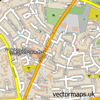
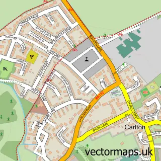
This Barnsley street map is a detailed vector street map covering a 750m x 750m area. Select a larger area to create and download your own vector street map of Barnsley.
The 750-metre map sample for Barnsley covers 197 mapped buildings and approximately 26.7 km of road detail, of which 87 named roads are named. The immediate area includes 1 school, 1 railway station, 12 GP surgeries within 2 miles and 40 pubs among other local services. The wider area around Barnsley features 10 tourism points of interest, 86 food and drink venues and 4 hotels. To create a larger or custom map of Barnsley, the map builder lets you define your own coverage area and download editable SVG, PDF and PNG files.
Create a larger editable map of Barnsley
Choose any area you need and generate a high-quality vector map instantly. Perfect for print, planning, design, business and personal use.

This Barnsley street map in South Yorkshire is available as downloadable SVG, PDF and PNG map files, or as a printed map for planning, business, display, education, local information and design work. You can also create a larger custom map area using the map selector.
What this Barnsley map sample shows
Barnsley lies within Barnsley District (B) parish, part of Central ward in the Barnsley District (B) local authority area. The postcode geography for this area includes the S postcode area, the S70 postcode district and the S70 1 postcode sector. Residents fall under the Nhs South Yorkshire Integrated Care Board for NHS services.
Local features near Barnsley
Within 2 milesAmenities and services in and around Barnsley.
Administrative and postcode information for Barnsley
Barnsley lies within Barnsley District (B) parish, part of Central ward in the Barnsley District (B) local authority area. The postcode geography for this area includes the S postcode area, the S70 postcode district and the S70 1 postcode sector. Residents fall under the Nhs South Yorkshire Integrated Care Board for NHS services.
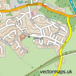
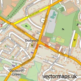
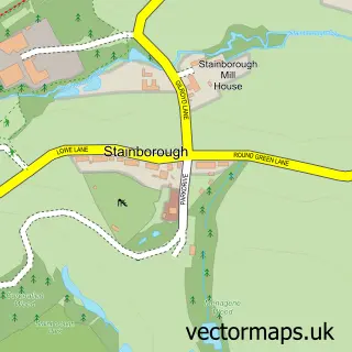
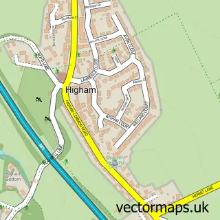
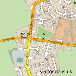
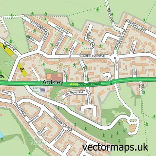
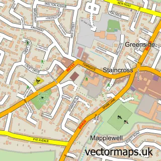
Nearby street map samples around Barnsley

More street maps in South Yorkshire
750 metre map area coverage
Boundary, postcode and point of interest information for the 750m x 750m rectangle centred on this sample map.
Boundaries containing map centre
Constituency: Barnsley North Co Const
District: Barnsley District (B)
Icb: NHS South Yorkshire ICB
Police Force: south yorkshire
Postcode District: S70
Postcode Sector: S70 2
Ward: Central Ward
Nearby boundaries intersecting sample
Constituency: Barnsley South Co Const
Postcode District: S71
Postcode Sector: S70 1, S70 6, S71 1
Ward: Kingstone Ward
Postcode coverage
POI category counts
Pub: 40
Beauty Salon: 33
Bar: 32
Hair Salon: 30
Clothing Store: 24
Professional Services: 24
Barber: 21
Cafe: 19
Jewelry Store: 18
Restaurant: 17
Sample points of interest
- Ashworth Bailey Limited
- Gbac Ltd
- Paul Howley and Co
- Gym Instructor Online
- Barnsley Acupuncture
- Chinese Medical & Skin Centre
- Barnsley Alcohol & Drugs Advisory Service
- Design Definition
- Fine & Country Estate Agents Barnsley And Penistone
- Transmit Creative
- Visualised It
- Walnut Creative
Create a larger editable map of Barnsley
This sample shows only a 750 metre area. To create a larger map of Barnsley, use our map builder to choose your own coverage area, add titles and download editable SVG, PDF and PNG files.
Create a custom map of Barnsley