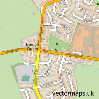
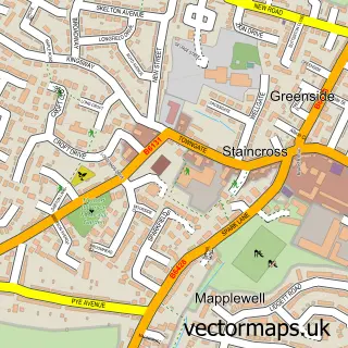
This Higham street map is a detailed vector street map covering a 750m x 750m area. Select a larger area to create and download your own vector street map of Higham.
The 750-metre map sample for Higham covers 299 mapped buildings and approximately 15.9 km of road detail, of which 15 named roads are named. The immediate area includes 4 GP surgeries within 2 miles, 1 pub and 13 MOT stations within 2 miles. The wider area around Higham features 1 tourism point of interest and 1 food and drink venue. To create a larger or custom map of Higham, the map builder lets you define your own coverage area and download editable SVG, PDF and PNG files.
Create a larger editable map of Higham
Choose any area you need and generate a high-quality vector map instantly. Perfect for print, planning, design, business and personal use.

This Higham street map in South Yorkshire is available as downloadable SVG, PDF and PNG map files, or as a printed map for planning, business, display, education, local information and design work. You can also create a larger custom map area using the map selector.
What this Higham map sample shows
Higham lies within Barnsley District (B) parish, part of Dodworth ward in the Barnsley District (B) local authority area. The postcode geography for this area includes the S postcode area, the S75 postcode district and the S75 2 postcode sector. Residents fall under the Nhs South Yorkshire Integrated Care Board for NHS services.
Local features near Higham
Within 2 milesAmenities and services in and around Higham.
Administrative and postcode information for Higham
The local authority covering Higham is Barnsley District (B), within the county of South Yorkshire. The settlement lies within Dodworth ward and Barnsley District (B) civil parish. The S75 postcode district and S75 2 postcode sector serve the immediate area. NHS provision in the area is delivered through Barnsley Hospital Nhs Foundation Trust.
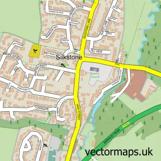
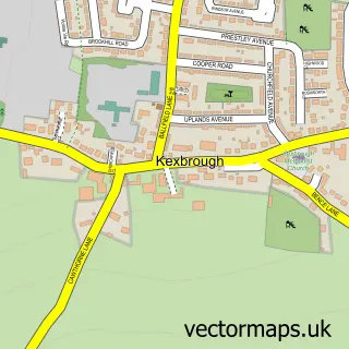
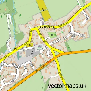
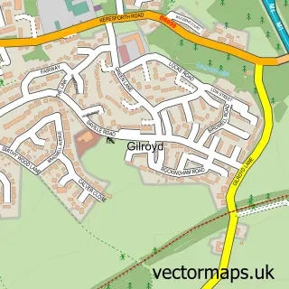
Nearby street map samples around Higham
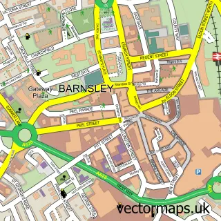

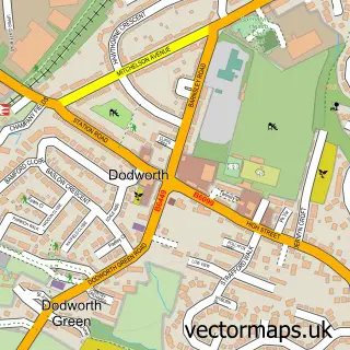
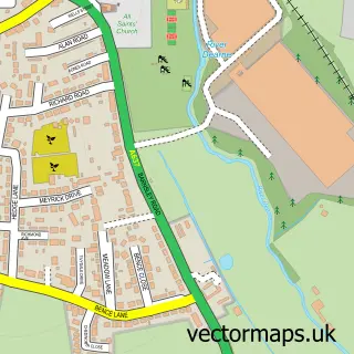
More street maps in South Yorkshire
750 metre map area coverage
Boundary, postcode and point of interest information for the 750m x 750m rectangle centred on this sample map.
Boundaries containing map centre
Constituency: Penistone and Stocksbridge Co Const
District: Barnsley District (B)
Icb: NHS South Yorkshire ICB
Police Force: south yorkshire
Postcode District: S75
Postcode Sector: S75 1
Ward: Dodworth Ward
Nearby boundaries intersecting sample
Constituency: Barnsley North Co Const
Ward: Darton West Ward
Postcode coverage
POI category counts
Dog Walkers: 2
Bakery: 1
Beauty Salon: 1
Building Supply Store: 1
Church Cathedral: 1
Commercial Printer: 1
Driving School: 1
Home Service: 1
Indian Restaurant: 1
Landmark And Historical Building: 1
Sample points of interest
- Anna and Sarah's Cakes and Bakes
- The Retreat Beauty & Holistic Therapy
- Hawcroft Roofing & Damp Proofing Specialists
- Higham Methodist Church
- Ja Print Solutions
- Bark Green Fetch & Stay
- The Little Happy Pup Club
- Rightway Driving Tuition
- Wakitu Kids - Barugh Green Primary School
- Alam's Lounge
- Higham
- AllansArts
Create a larger editable map of Higham
This sample shows only a 750 metre area. To create a larger map of Higham, use our map builder to choose your own coverage area, add titles and download editable SVG, PDF and PNG files.
Create a custom map of Higham