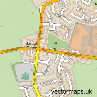
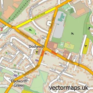
This Cawthorne street map is a detailed vector street map covering a 750m x 750m area. Select a larger area to create and download your own vector street map of Cawthorne.
The 750-metre map sample for Cawthorne covers 264 mapped buildings and approximately 13.9 km of road detail, of which 24 named roads are named. The immediate area includes 1 school, 1 pub and 3 MOT stations within 2 miles. The wider area around Cawthorne features 1 tourism point of interest and 2 food and drink venues. To create a larger or custom map of Cawthorne, the map builder lets you define your own coverage area and download editable SVG, PDF and PNG files.
Create a larger editable map of Cawthorne
Choose any area you need and generate a high-quality vector map instantly. Perfect for print, planning, design, business and personal use.

This Cawthorne street map in South Yorkshire is available as downloadable SVG, PDF and PNG map files, or as a printed map for planning, business, display, education, local information and design work. You can also create a larger custom map area using the map selector.
What this Cawthorne map sample shows
Cawthorne lies within Cawthorne Cp parish, part of Penistone East ward in the Barnsley District (B) local authority area. The postcode geography for this area includes the S postcode area, the S75 postcode district and the S75 4 postcode sector. Residents fall under the Nhs South Yorkshire Integrated Care Board for NHS services.
Local features near Cawthorne
Within 2 milesAmenities and services in and around Cawthorne.
Administrative and postcode information for Cawthorne
Cawthorne lies within Cawthorne Cp parish, part of Penistone East ward in the Barnsley District (B) local authority area. The postcode geography for this area includes the S postcode area, the S75 postcode district and the S75 4 postcode sector. Residents fall under the Nhs South Yorkshire Integrated Care Board for NHS services.
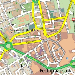
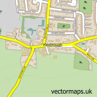
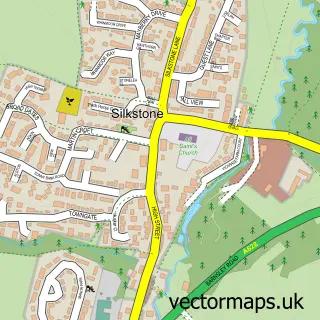
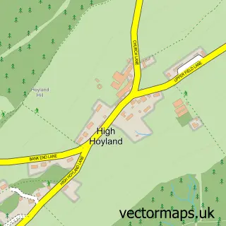
Nearby street map samples around Cawthorne

More street maps in South Yorkshire
750 metre map area coverage
Boundary, postcode and point of interest information for the 750m x 750m rectangle centred on this sample map.
Boundaries containing map centre
Constituency: Penistone and Stocksbridge Co Const
District: Barnsley District (B)
Icb: NHS South Yorkshire ICB
Parish: Cawthorne CP
Police Force: south yorkshire
Postcode District: S75
Postcode Sector: S75 4
Ward: Penistone East Ward
Nearby boundaries intersecting sample
No additional intersecting boundaries found.
Postcode coverage
POI category counts
Church Cathedral: 2
Tea Room: 2
Advertising Agency: 1
Alternative Medicine: 1
Anglican Church: 1
Antique Store: 1
Automotive Services And Repair: 1
Bar: 1
Beauty Salon: 1
Bed And Breakfast: 1
Sample points of interest
- QuestionAir Marketing Research
- Cawthorne Hypnotheray Clinic
- Cawthorne, All Saints
- Cawthorne Antiques & Collectors Centre
- Edenbridge Healthcare
- Top Club Cawthorne
- In Your Element
- The Old Vicarage
- All Saints Church
- Cawthorne Methodist Church
- Cawthorne Cricket Club
- Post Office Travel Money
Create a larger editable map of Cawthorne
This sample shows only a 750 metre area. To create a larger map of Cawthorne, use our map builder to choose your own coverage area, add titles and download editable SVG, PDF and PNG files.
Create a custom map of Cawthorne