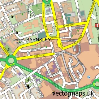
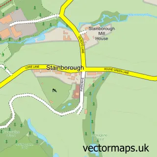
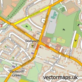
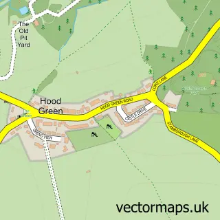
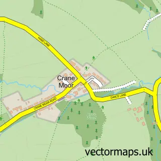
This Gilroyd street map is a detailed vector street map covering a 750m x 750m area. Select a larger area to create and download your own vector street map of Gilroyd.
The 750-metre map sample for Gilroyd covers 344 mapped buildings and approximately 16.8 km of road detail, of which 23 named roads are named. The immediate area includes 1 school, 6 GP surgeries within 2 miles and 18 MOT stations within 2 miles. The wider area around Gilroyd features 1 tourism point of interest and 3 food and drink venues. To create a larger or custom map of Gilroyd, the map builder lets you define your own coverage area and download editable SVG, PDF and PNG files.
Create a larger editable map of Gilroyd
Choose any area you need and generate a high-quality vector map instantly. Perfect for print, planning, design, business and personal use.

This Gilroyd street map in South Yorkshire is available as downloadable SVG, PDF and PNG map files, or as a printed map for planning, business, display, education, local information and design work. You can also create a larger custom map area using the map selector.
What this Gilroyd map sample shows
Gilroyd lies within Barnsley District (B) parish, part of Dodworth ward in the Barnsley District (B) local authority area. The postcode geography for this area includes the S postcode area, the S75 postcode district and the S75 3 postcode sector. Residents fall under the Nhs South Yorkshire Integrated Care Board for NHS services.
Local features near Gilroyd
Within 2 milesAmenities and services in and around Gilroyd.
Administrative and postcode information for Gilroyd
Gilroyd lies within Barnsley District (B) parish, part of Dodworth ward in the Barnsley District (B) local authority area. The postcode geography for this area includes the S postcode area, the S75 postcode district and the S75 3 postcode sector. Residents fall under the Nhs South Yorkshire Integrated Care Board for NHS services.
Nearby street map samples around Gilroyd

More street maps in South Yorkshire
750 metre map area coverage
Boundary, postcode and point of interest information for the 750m x 750m rectangle centred on this sample map.
Boundaries containing map centre
Constituency: Penistone and Stocksbridge Co Const
District: Barnsley District (B)
Icb: NHS South Yorkshire ICB
Police Force: south yorkshire
Postcode District: S75
Postcode Sector: S75 3
Ward: Dodworth Ward
Nearby boundaries intersecting sample
Postcode District: S70
Postcode Sector: S70 6
Postcode coverage
POI category counts
Beauty Salon: 2
Convenience Store: 2
Retirement Home: 2
Atms: 1
Bar: 1
Bar And Grill Restaurant: 1
Business: 1
Cafe: 1
Church Cathedral: 1
Coffee Shop: 1
Sample points of interest
- S & S General Store (Protected) (ATMP) (ERF), Gilroyd
- Tortuga Bar
- Calver Close Bar and Grill
- CKD Skin Clinic
- Samantha's Hair Salon
- Orchard H S E
- The T Pot Cafe
- Dodworth Parish Church
- The T Pot Cafe
- Premier
- Premier S&S General Store
- Dodworth & Gilroyd Children's Centre
Create a larger editable map of Gilroyd
This sample shows only a 750 metre area. To create a larger map of Gilroyd, use our map builder to choose your own coverage area, add titles and download editable SVG, PDF and PNG files.
Create a custom map of Gilroyd