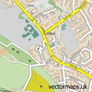
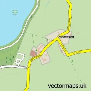
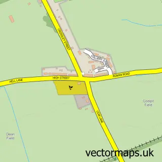
This New Crofton street map is a detailed vector street map covering a 750m x 750m area. Select a larger area to create and download your own vector street map of New Crofton.
The 750-metre map sample for New Crofton covers 373 mapped buildings and approximately 11.1 km of road detail, of which 28 named roads are named. The immediate area includes 1 GP surgery within 2 miles, 3 pubs and 2 MOT stations within 2 miles. The wider area around New Crofton features 3 food and drink venues. To create a larger or custom map of New Crofton, the map builder lets you define your own coverage area and download editable SVG, PDF and PNG files.
Create a larger editable map of New Crofton
Choose any area you need and generate a high-quality vector map instantly. Perfect for print, planning, design, business and personal use.

This New Crofton street map in West Yorkshire is available as downloadable SVG, PDF and PNG map files, or as a printed map for planning, business, display, education, local information and design work. You can also create a larger custom map area using the map selector.
What this New Crofton map sample shows
New Crofton lies within Crofton Cp parish, part of Crofton, Ryhill And Walton ward in the Wakefield District (B) local authority area. The postcode geography for this area includes the WF postcode area, the WF4 postcode district and the WF4 1 postcode sector. Residents fall under the Nhs West Yorkshire Integrated Care Board for NHS services.
Local features near New Crofton
Within 2 milesAmenities and services in and around New Crofton.
Administrative and postcode information for New Crofton
New Crofton lies within Crofton Cp parish, part of Crofton, Ryhill And Walton ward in the Wakefield District (B) local authority area. The postcode geography for this area includes the WF postcode area, the WF4 postcode district and the WF4 1 postcode sector. Residents fall under the Nhs West Yorkshire Integrated Care Board for NHS services.
Nearby street map samples around New Crofton

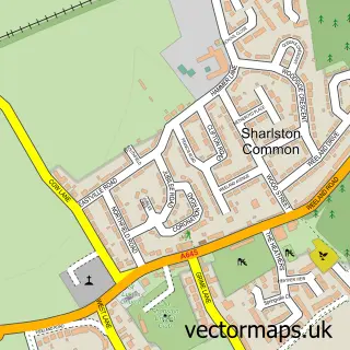
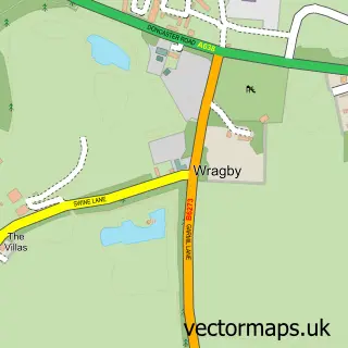
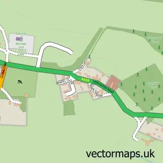
More street maps in West Yorkshire
750 metre map area coverage
Boundary, postcode and point of interest information for the 750m x 750m rectangle centred on this sample map.
Boundaries containing map centre
Constituency: Normanton and Hemsworth Co Const
District: Wakefield District (B)
Icb: NHS West Yorkshire ICB
Parish: Crofton CP
Police Force: west yorkshire
Postcode District: WF4
Postcode Sector: WF4 1
Ward: Crofton, Ryhill and Walton Ward
Nearby boundaries intersecting sample
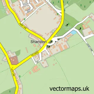
Parish: Sharlston CP, Walton CP
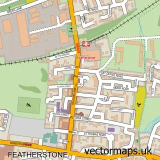
Ward: Featherstone Ward
Postcode coverage
POI category counts
Post Office: 3
Pub: 3
Beauty And Spa: 2
Beauty Salon: 2
Funeral Services And Cemeteries: 2
Atms: 1
Child Care And Day Care: 1
Convenience Store: 1
Driving School: 1
Hair Salon: 1
Sample points of interest
- PayPoint
- Lashes by e
- Tilda Bear Beauty
- Beauty At Eighty One salon
- Unique Stylist & Barbers
- Jojo's Childminding Service
- Premier
- Pass N Go Driving School
- R J Burgess Independent Family Funeral Directors
- R J Burgess Manorfields Funeral Home
- Natalie's Hair Extensions
- Jennings Fencing and Landscapes
Create a larger editable map of New Crofton
This sample shows only a 750 metre area. To create a larger map of New Crofton, use our map builder to choose your own coverage area, add titles and download editable SVG, PDF and PNG files.
Create a custom map of New Crofton