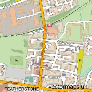
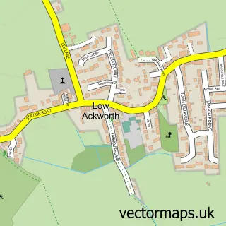
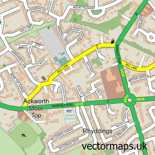
This Purston Jaglin street map is a detailed vector street map covering a 750m x 750m area. Select a larger area to create and download your own vector street map of Purston Jaglin.
The 750-metre map sample for Purston Jaglin covers 467 mapped buildings and approximately 18.0 km of road detail, of which 28 named roads are named. The immediate area includes 3 GP surgeries within 2 miles, 1 pub and 6 MOT stations within 2 miles. The wider area around Purston Jaglin features 2 tourism points of interest and 1 food and drink venue. To create a larger or custom map of Purston Jaglin, the map builder lets you define your own coverage area and download editable SVG, PDF and PNG files.
Create a larger editable map of Purston Jaglin
Choose any area you need and generate a high-quality vector map instantly. Perfect for print, planning, design, business and personal use.

This Purston Jaglin street map in West Yorkshire is available as downloadable SVG, PDF and PNG map files, or as a printed map for planning, business, display, education, local information and design work. You can also create a larger custom map area using the map selector.
What this Purston Jaglin map sample shows
Purston Jaglin lies within Featherstone Cp parish, part of Featherstone ward in the Wakefield District (B) local authority area. The postcode geography for this area includes the WF postcode area, the WF7 postcode district and the WF7 5 postcode sector. Residents fall under the Nhs West Yorkshire Integrated Care Board for NHS services.
Local features near Purston Jaglin
Within 2 milesAmenities and services in and around Purston Jaglin.
Administrative and postcode information for Purston Jaglin
Purston Jaglin lies within Featherstone Cp parish, part of Featherstone ward in the Wakefield District (B) local authority area. The postcode geography for this area includes the WF postcode area, the WF7 postcode district and the WF7 5 postcode sector. Residents fall under the Nhs West Yorkshire Integrated Care Board for NHS services.
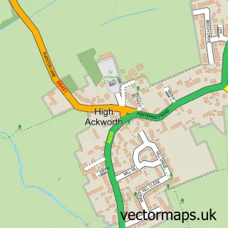
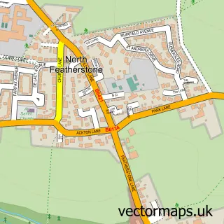
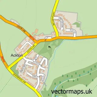
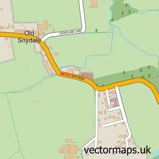
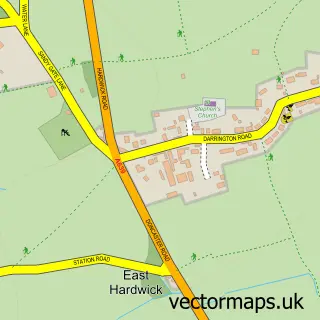
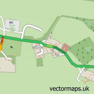
Nearby street map samples around Purston Jaglin

More street maps in West Yorkshire
750 metre map area coverage
Boundary, postcode and point of interest information for the 750m x 750m rectangle centred on this sample map.
Boundaries containing map centre
Constituency: Normanton and Hemsworth Co Const
District: Wakefield District (B)
Icb: NHS West Yorkshire ICB
Parish: Featherstone CP
Police Force: west yorkshire
Postcode District: WF7
Postcode Sector: WF7 5
Ward: Featherstone Ward
Nearby boundaries intersecting sample
No additional intersecting boundaries found.
Postcode coverage
POI category counts
Advertising Agency: 2
Bar: 2
Hair Salon: 2
Park: 2
Assisted Living Facility: 1
Atms: 1
Beauty Salon: 1
Bed And Breakfast: 1
Betting Center: 1
Building Supply Store: 1
Sample points of interest
- Care Home Marketing Expert
- Ice Wave
- Star House
- Dhami News (SWAP), Featherstone
- The Junction Inn
- The Shed Bar & Terrace
- Hair Quarterz Studio
- Glencoe Villa Guest House
- William Hill
- DR Controls Ltd
- Purston Motor Company
- Craig Millard Joiners
Create a larger editable map of Purston Jaglin
This sample shows only a 750 metre area. To create a larger map of Purston Jaglin, use our map builder to choose your own coverage area, add titles and download editable SVG, PDF and PNG files.
Create a custom map of Purston Jaglin