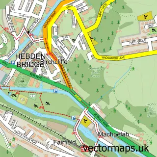
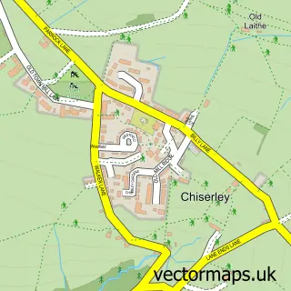
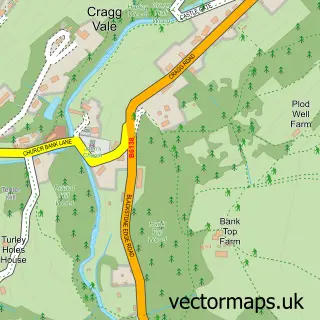
This Mytholm street map is a detailed vector street map covering a 750m x 750m area. Select a larger area to create and download your own vector street map of Mytholm.
The 750-metre map sample for Mytholm covers 127 mapped buildings and approximately 11.1 km of road detail, of which 24 named roads are named. The immediate area includes 1 school, 1 GP surgery within 2 miles, 1 pub and 3 MOT stations within 2 miles. The wider area around Mytholm features 1 tourism point of interest and 1 food and drink venue. To create a larger or custom map of Mytholm, the map builder lets you define your own coverage area and download editable SVG, PDF and PNG files.
Create a larger editable map of Mytholm
Choose any area you need and generate a high-quality vector map instantly. Perfect for print, planning, design, business and personal use.

This Mytholm street map in West Yorkshire is available as downloadable SVG, PDF and PNG map files, or as a printed map for planning, business, display, education, local information and design work. You can also create a larger custom map area using the map selector.
What this Mytholm map sample shows
Mytholm lies within Hebden Royd Cp parish, part of Calder ward in the Calderdale District (B) local authority area. The postcode geography for this area includes the HX postcode area, the HX7 postcode district and the HX7 6 postcode sector. Residents fall under the Nhs West Yorkshire Integrated Care Board for NHS services.
Local features near Mytholm
Within 2 milesAmenities and services in and around Mytholm.
Administrative and postcode information for Mytholm
Mytholm lies within Hebden Royd Cp parish, part of Calder ward in the Calderdale District (B) local authority area. The postcode geography for this area includes the HX postcode area, the HX7 postcode district and the HX7 6 postcode sector. Residents fall under the Nhs West Yorkshire Integrated Care Board for NHS services.
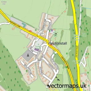
Nearby street map samples around Mytholm

More street maps in West Yorkshire
750 metre map area coverage
Boundary, postcode and point of interest information for the 750m x 750m rectangle centred on this sample map.
Boundaries containing map centre
Constituency: Calder Valley Co Const
District: Calderdale District (B)
Icb: NHS West Yorkshire ICB
Parish: Hebden Royd CP
Police Force: west yorkshire
Postcode District: HX7
Postcode Sector: HX7 6
Ward: Calder Ward
Nearby boundaries intersecting sample
Parish: Blackshaw CP, Heptonstall CP
Postcode Sector: HX7 7
Postcode coverage
POI category counts
Bed And Breakfast: 2
Anglican Church: 1
Arts And Entertainment: 1
Bar: 1
Boat Tours: 1
Church Cathedral: 1
Elementary School: 1
Hiking Trail: 1
Medical Center: 1
National Park: 1
Sample points of interest
- St James the Great, Hebden Bridge
- Industrial Artworks
- Savile Bowling Club
- Prospect End
- Riverview
- Hebden Bridge Cruises
- St James
- Hebden Royd C of E Primary School
- Eaves Woods
- Ian Appleby
- Gibson Mill National Trust Walk
- The Vicarage Practice
Create a larger editable map of Mytholm
This sample shows only a 750 metre area. To create a larger map of Mytholm, use our map builder to choose your own coverage area, add titles and download editable SVG, PDF and PNG files.
Create a custom map of Mytholm