Vector Maps logo
Home Why it works Popular maps Districts Samples Customizer Create Your Map
VectorMaps.uk
Home Popular maps Districts Samples Customizer Create Your Map Privacy Disclaimer
Home / UK Maps / West Yorkshire / Slack Top Map

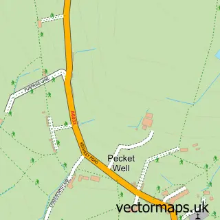
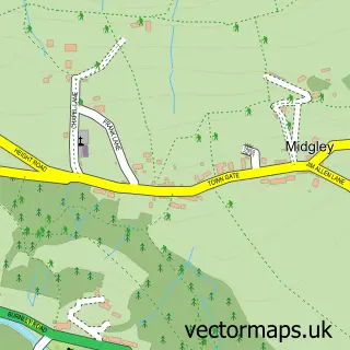
This Slack Top street map is a detailed vector street map covering a 750m x 750m area. Select a larger area to create and download your own vector street map of Slack Top.

Slack Top is a village in West Yorkshire, in the Yorkshire And The Humber of England. Historically, the area formed part of Yorkshire. The settlement falls within the Calder Valley parliamentary constituency. It is served by the HX7 postcode district, wit

The 750-metre map sample for Slack Top covers 78 mapped buildings and approximately 6.7 km of road detail, of which 6 named roads are named. The immediate area includes 1 GP surgery within 2 miles and 2 MOT stations within 2 miles. To create a larger or custom map of Slack Top, the map builder lets you define your own coverage area and download editable SVG, PDF and PNG files.

78Buildings
6.73 kmRoads
6Named roads
3,950Residents within 2 miles
Create your own

Create a larger editable map of Slack Top

Choose any area you need and generate a high-quality vector map instantly. Perfect for print, planning, design, business and personal use.

Choose any location
Editable SVG files
Any size up to A0
PDF, PNG & more
Instant download
High quality guaranteed
Create My Custom Map
Secure, private & no credit card required
Slack Top Vector Street Map
750m Sample
Slack Top vector street map sample showing roads, buildings and local features in a 750 metre preview area
Buy Slack Top Map Print from £12.95 Buy Slack Top Digital Map from £6

This Slack Top street map in West Yorkshire is available as downloadable SVG, PDF and PNG map files, or as a printed map for planning, business, display, education, local information and design work. You can also create a larger custom map area using the map selector.

What this Slack Top map sample shows

Slack Top lies within Heptonstall Cp parish, part of Calder ward in the Calderdale District (B) local authority area. The postcode geography for this area includes the HX postcode area, the HX7 postcode district and the HX7 7 postcode sector. Residents fall under the Nhs West Yorkshire Integrated Care Board for NHS services.

Local features near Slack Top

Within 2 miles

Amenities and services in and around Slack Top.

1 GP surgeries within 2 miles
2 MOT stations within 2 miles

Counts are approximate and based on publicly available data.

Administrative and postcode information for Slack Top

Slack Top lies within Heptonstall Cp parish, part of Calder ward in the Calderdale District (B) local authority area. The postcode geography for this area includes the HX postcode area, the HX7 postcode district and the HX7 7 postcode sector. Residents fall under the Nhs West Yorkshire Integrated Care Board for NHS services.

Parish Heptonstall CP
Ward Calder
District / local authority Calderdale District (B)
County West Yorkshire
Historic county Yorkshire
Postcode district HX7
Postcode sector HX7 7
Parliamentary constituency Calder Valley
Region Yorkshire and the Humber
Country England

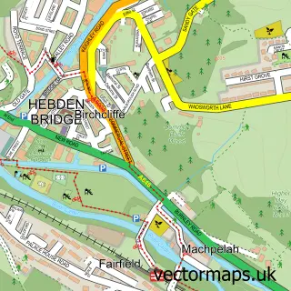
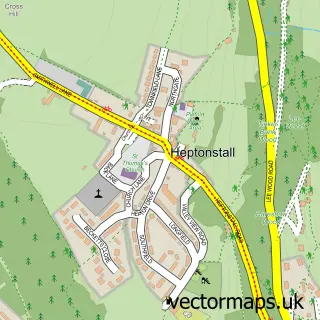
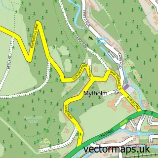
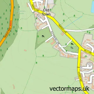
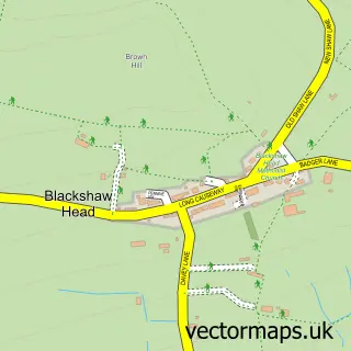
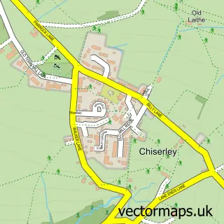
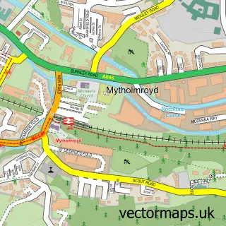
Nearby street map samples around Slack Top

Street map sample of Hebden Bridge, West Yorkshire Hebden Bridge Town - West Yorkshire - 1.4 miles Street map sample of Bradford, West Yorkshire Bradford City - West Yorkshire - 11.9 miles Street map sample of Heptonstall, West Yorkshire Heptonstall Village - West Yorkshire - 0.7 miles Street map sample of Mytholm, West Yorkshire Mytholm Village - West Yorkshire - 0.8 miles Street map sample of Old Town, West Yorkshire Old Town Village - West Yorkshire - 1.3 miles Street map sample of Pecket Well, West Yorkshire Pecket Well Village - West Yorkshire - 1.4 miles Street map sample of Blackshaw Head, West Yorkshire Blackshaw Head Village - West Yorkshire - 1.4 miles Street map sample of Chiserley, West Yorkshire Chiserley Village - West Yorkshire - 1.5 miles Street map sample of Mytholmroyd, West Yorkshire Mytholmroyd Village - West Yorkshire - 2.9 miles Street map sample of Midgley, West Yorkshire Midgley Village - West Yorkshire - 3.5 miles

More street maps in West Yorkshire

Street map sample of Heptonstall, West Yorkshire Heptonstall Village - 0.7 miles Street map sample of Mytholm, West Yorkshire Mytholm Village - 0.8 miles Street map sample of Old Town, West Yorkshire Old Town Village - 1.3 miles Street map sample of Pecket Well, West Yorkshire Pecket Well Village - 1.4 miles Street map sample of Blackshaw Head, West Yorkshire Blackshaw Head Village - 1.4 miles

750 metre map area coverage

Boundary, postcode and point of interest information for the 750m x 750m rectangle centred on this sample map.

Boundaries containing map centre

Constituency: Calder Valley Co Const

District: Calderdale District (B)

Icb: NHS West Yorkshire ICB

Parish: Heptonstall CP

Police Force: west yorkshire

Postcode District: HX7

Postcode Sector: HX7 7

Ward: Calder Ward

Nearby boundaries intersecting sample

Parish: Wadsworth CP

Postcode Sector: HX7 6

Postcode coverage

HX7 HX7 7 HX7 6

POI category counts

Business: 1

Business Consulting: 1

Cabin: 1

Community Services Non Profits: 1

Contractor: 1

Gardener: 1

Pet Groomer: 1

Professional Services: 1

Sample points of interest

  • Ebru Evrim Ltd Business
  • The Support Group Business Consulting
  • Slack Top Centre Cabin
  • Lumb Bank Community Services Non Profits
  • David Barlow Services Contractor
  • Grass Cutting Hebden Bridge Gardener
  • Top Dogs Pet Groomer
  • Richard Easton Gardens Professional Services

Create a larger editable map of Slack Top

This sample shows only a 750 metre area. To create a larger map of Slack Top, use our map builder to choose your own coverage area, add titles and download editable SVG, PDF and PNG files.

Create a custom map of Slack Top

Phone 01751 473136 | Copyright Vectormaps.uk 2026

Samples Customizer Privacy Disclaimer
Slack Top Vector Street Map
Slack Top enlarged street map sample showing a 750 metre preview area