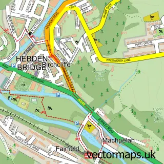
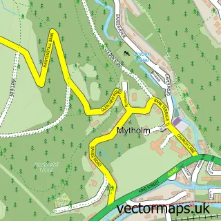
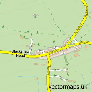
This Chiserley street map is a detailed vector street map covering a 750m x 750m area. Select a larger area to create and download your own vector street map of Chiserley.
The 750-metre map sample for Chiserley covers 137 mapped buildings and approximately 11.9 km of road detail, of which 12 named roads are named. The immediate area includes 1 school, 1 GP surgery within 2 miles, 2 pubs and 4 MOT stations within 2 miles. The wider area around Chiserley features 2 food and drink venues and 1 hotel. To create a larger or custom map of Chiserley, the map builder lets you define your own coverage area and download editable SVG, PDF and PNG files.
Create a larger editable map of Chiserley
Choose any area you need and generate a high-quality vector map instantly. Perfect for print, planning, design, business and personal use.

This Chiserley street map in West Yorkshire is available as downloadable SVG, PDF and PNG map files, or as a printed map for planning, business, display, education, local information and design work. You can also create a larger custom map area using the map selector.
What this Chiserley map sample shows
Chiserley lies within Hebden Royd Cp parish, part of Calder ward in the Calderdale District (B) local authority area. The postcode geography for this area includes the HX postcode area, the HX7 postcode district and the HX7 8 postcode sector. Residents fall under the Nhs West Yorkshire Integrated Care Board for NHS services.
Local features near Chiserley
Within 2 milesAmenities and services in and around Chiserley.
Administrative and postcode information for Chiserley
Chiserley lies within Hebden Royd Cp parish, part of Calder ward in the Calderdale District (B) local authority area. The postcode geography for this area includes the HX postcode area, the HX7 postcode district and the HX7 8 postcode sector. Residents fall under the Nhs West Yorkshire Integrated Care Board for NHS services.
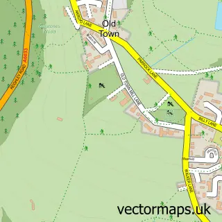
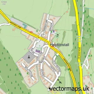
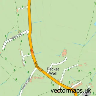
Nearby street map samples around Chiserley

More street maps in West Yorkshire
750 metre map area coverage
Boundary, postcode and point of interest information for the 750m x 750m rectangle centred on this sample map.
Boundaries containing map centre
Constituency: Calder Valley Co Const
District: Calderdale District (B)
Icb: NHS West Yorkshire ICB
Parish: Wadsworth CP
Police Force: west yorkshire
Postcode District: HX7
Postcode Sector: HX7 8
Ward: Calder Ward
Nearby boundaries intersecting sample
No additional intersecting boundaries found.
Postcode coverage
POI category counts
Post Office: 2
Pub: 2
Automotive Repair: 1
Cabinet Sales Service: 1
Community Center: 1
Cricket Ground: 1
Elementary School: 1
Health Spa: 1
Horseback Riding Service: 1
Hotel: 1
Sample points of interest
- HDC Subaru
- Joel Dyter Cabinet Maker
- Wadsworth Community Centre
- Oldtown Cricket Club
- Old Town Primary School
- The Paddock Wellness Club
- Hebden Bridge Equestrian Centre
- Old Town Hall Holiday Cottage
- Old Town Post Office
- Post Office-Wadsworth
- Richard The Third Middleham
- The Hare & Hounds
Create a larger editable map of Chiserley
This sample shows only a 750 metre area. To create a larger map of Chiserley, use our map builder to choose your own coverage area, add titles and download editable SVG, PDF and PNG files.
Create a custom map of Chiserley