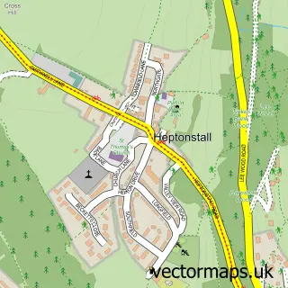
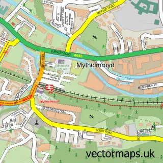
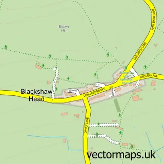
This Hebden Bridge street map is a detailed vector street map covering a 750m x 750m area. Select a larger area to create and download your own vector street map of Hebden Bridge.
The 750-metre map sample for Hebden Bridge covers 217 mapped buildings and approximately 19.4 km of road detail, of which 61 named roads are named. The immediate area includes 2 schools, 1 railway station, 1 GP surgery and 10 pubs among other local services. The wider area around Hebden Bridge features 6 tourism points of interest, 27 food and drink venues and 5 hotels. To create a larger or custom map of Hebden Bridge, the map builder lets you define your own coverage area and download editable SVG, PDF and PNG files.
Create a larger editable map of Hebden Bridge
Choose any area you need and generate a high-quality vector map instantly. Perfect for print, planning, design, business and personal use.

This Hebden Bridge street map in West Yorkshire is available as downloadable SVG, PDF and PNG map files, or as a printed map for planning, business, display, education, local information and design work. You can also create a larger custom map area using the map selector.
What this Hebden Bridge map sample shows
Hebden Bridge lies within Hebden Royd Cp parish, part of Calder ward in the Calderdale District (B) local authority area. The postcode geography for this area includes the HX postcode area, the HX7 postcode district and the HX7 8 postcode sector. Residents fall under the Nhs West Yorkshire Integrated Care Board for NHS services.
Local features near Hebden Bridge
Within 2 milesAmenities and services in and around Hebden Bridge.
Administrative and postcode information for Hebden Bridge
Hebden Bridge lies within Hebden Royd Cp parish, part of Calder ward in the Calderdale District (B) local authority area. The postcode geography for this area includes the HX postcode area, the HX7 postcode district and the HX7 8 postcode sector. Residents fall under the Nhs West Yorkshire Integrated Care Board for NHS services.
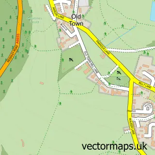
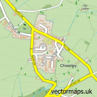
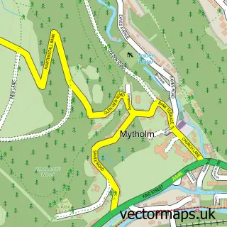
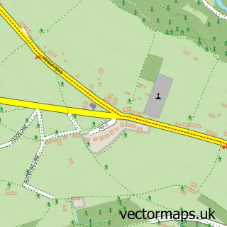
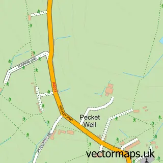
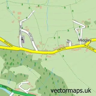
Nearby street map samples around Hebden Bridge

More street maps in West Yorkshire
750 metre map area coverage
Boundary, postcode and point of interest information for the 750m x 750m rectangle centred on this sample map.
Boundaries containing map centre
Constituency: Calder Valley Co Const
District: Calderdale District (B)
Icb: NHS West Yorkshire ICB
Parish: Hebden Royd CP
Police Force: west yorkshire
Postcode District: HX7
Postcode Sector: HX7 8
Ward: Calder Ward
Nearby boundaries intersecting sample
Parish: Erringden CP
Postcode Sector: HX7 6, HX7 7
Postcode coverage
POI category counts
Cafe: 11
Naturopathic Holistic: 10
Pub: 10
Real Estate Agent: 9
Bar: 8
Clothing Store: 8
Flowers And Gifts Shop: 7
Antique Store: 6
Beauty Salon: 6
Furniture Store: 6
Sample points of interest
- Fitton & Co
- Lord & Swain Accountants
- Up The Buttress
- Hebden Bridge Acupuncture
- Hebden Bridge Acupuncture Centre
- Frogs Graphic Design
- Pamona
- Print Bureau
- Barbara Shepard
- Rainbow Light Foundation
- Antiques and Oriental
- Hebden Bridge Antiques Centre
Create a larger editable map of Hebden Bridge
This sample shows only a 750 metre area. To create a larger map of Hebden Bridge, use our map builder to choose your own coverage area, add titles and download editable SVG, PDF and PNG files.
Create a custom map of Hebden Bridge