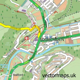
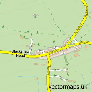
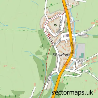
This Lydgate street map is a detailed vector street map covering a 750m x 750m area. Select a larger area to create and download your own vector street map of Lydgate.
The 750-metre map sample for Lydgate covers 104 mapped buildings and approximately 7.0 km of road detail, of which 12 named roads are named. The immediate area includes 1 GP surgery within 2 miles and 1 MOT station, with 6 within 2 miles. The wider area around Lydgate features 1 hotel. To create a larger or custom map of Lydgate, the map builder lets you define your own coverage area and download editable SVG, PDF and PNG files.
Create a larger editable map of Lydgate
Choose any area you need and generate a high-quality vector map instantly. Perfect for print, planning, design, business and personal use.

This Lydgate street map in West Yorkshire is available as downloadable SVG, PDF and PNG map files, or as a printed map for planning, business, display, education, local information and design work. You can also create a larger custom map area using the map selector.
What this Lydgate map sample shows
Lydgate lies within Todmorden Cp parish, part of Todmorden ward in the Calderdale District (B) local authority area. The postcode geography for this area includes the OL postcode area, the OL14 postcode district and the OL14 8 postcode sector. Residents fall under the Nhs West Yorkshire Integrated Care Board for NHS services.
Local features near Lydgate
Within 2 milesAmenities and services in and around Lydgate.
Administrative and postcode information for Lydgate
Lydgate lies within Todmorden Cp parish, part of Todmorden ward in the Calderdale District (B) local authority area. The postcode geography for this area includes the OL postcode area, the OL14 postcode district and the OL14 8 postcode sector. Residents fall under the Nhs West Yorkshire Integrated Care Board for NHS services.
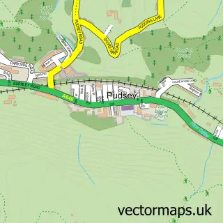
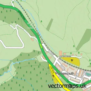
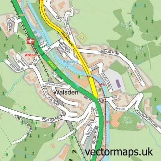
Nearby street map samples around Lydgate

More street maps in West Yorkshire
750 metre map area coverage
Boundary, postcode and point of interest information for the 750m x 750m rectangle centred on this sample map.
Boundaries containing map centre
Constituency: Calder Valley Co Const
District: Calderdale District (B)
Icb: NHS West Yorkshire ICB
Parish: Todmorden CP
Police Force: west yorkshire
Postcode District: OL14
Postcode Sector: OL14 8
Ward: Todmorden Ward
Nearby boundaries intersecting sample
Postcode Sector: OL14 7
Postcode coverage
POI category counts
Automotive Repair: 2
Sports And Recreation Venue: 2
Automotive Services And Repair: 1
Brewery: 1
Building Supply Store: 1
Business Manufacturing And Supply: 1
Contractor: 1
Currency Exchange: 1
Educational Services: 1
Furniture Store: 1
Sample points of interest
- Robinwood Garage
- Viaduct motors
- Todmorden MOT Centre
- Eagles Crag Brewery
- Moors & Dales Building & Construction
- Safespaces
- S & S Site Services
- Post Office Travel Money
- Dawn Chapman
- Preloved Trading Centre
- Robin Cottage
- Bombay Lounge
Create a larger editable map of Lydgate
This sample shows only a 750 metre area. To create a larger map of Lydgate, use our map builder to choose your own coverage area, add titles and download editable SVG, PDF and PNG files.
Create a custom map of Lydgate