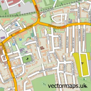
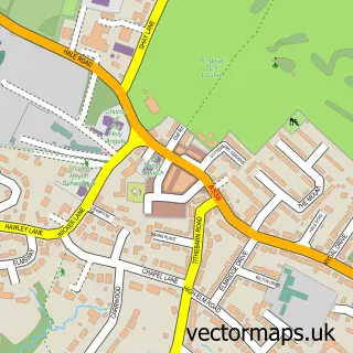
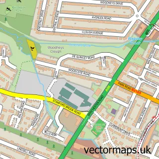
This Gatley street map is a detailed vector street map covering a 750m x 750m area. Select a larger area to create and download your own vector street map of Gatley.
The 750-metre map sample for Gatley covers 547 mapped buildings and approximately 19.1 km of road detail, of which 37 named roads are named. The immediate area includes 1 railway station, 14 GP surgeries within 2 miles and 20 MOT stations within 2 miles. The wider area around Gatley features 1 tourism point of interest and 1 food and drink venue. To create a larger or custom map of Gatley, the map builder lets you define your own coverage area and download editable SVG, PDF and PNG files.
Create a larger editable map of Gatley
Choose any area you need and generate a high-quality vector map instantly. Perfect for print, planning, design, business and personal use.

This Gatley street map in Greater Manchester is available as downloadable SVG, PDF and PNG map files, or as a printed map for planning, business, display, education, local information and design work. You can also create a larger custom map area using the map selector.
What this Gatley map sample shows
Gatley lies within Stockport District (B) parish, part of Cheadle And Gatley ward in the Stockport District (B) local authority area. The postcode geography for this area includes the SK postcode area, the SK8 postcode district and the SK8 1 postcode sector. Residents fall under the Nhs Greater Manchester Integrated Care Board for NHS services.
Local features near Gatley
Within 2 milesAmenities and services in and around Gatley.
Administrative and postcode information for Gatley
Gatley lies within Stockport District (B) parish, part of Cheadle And Gatley ward in the Stockport District (B) local authority area. The postcode geography for this area includes the SK postcode area, the SK8 postcode district and the SK8 1 postcode sector. Residents fall under the Nhs Greater Manchester Integrated Care Board for NHS services.
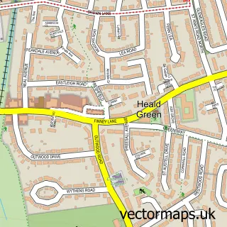
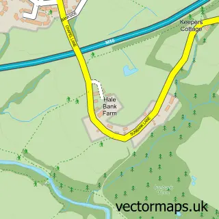
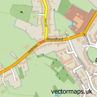
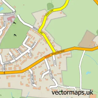
Nearby street map samples around Gatley

More street maps in Greater Manchester

750 metre map area coverage
Boundary, postcode and point of interest information for the 750m x 750m rectangle centred on this sample map.
Boundaries containing map centre
Constituency: Cheadle Boro Const
District: Stockport District (B)
Icb: NHS Greater Manchester ICB
Police Force: greater manchester
Postcode District: SK8
Postcode Sector: SK8 4
Ward: Cheadle West & Gatley Ward
Nearby boundaries intersecting sample
Postcode Sector: SK8 1
Postcode coverage
POI category counts
Sports Club And League: 4
Health And Medical: 3
Train Station: 3
Business Consulting: 2
Clothing Store: 2
Convenience Store: 2
Naturopathic Holistic: 2
Professional Services: 2
Advertising Agency: 1
Apartments: 1
Sample points of interest
- Julash Prints
- House-Hut Estate Agents - Stockport Branch
- Abbeyfield House
- N H Aesthetics Clinic
- Rowlinson Constructions Ltd.
- Charity Management Solutions
- Pandora Consulting
- La Cueba
- Horgans Wedding Cars
- Katies cuisine
- Jacques LE HAT
- United Colors of Benetton
Create a larger editable map of Gatley
This sample shows only a 750 metre area. To create a larger map of Gatley, use our map builder to choose your own coverage area, add titles and download editable SVG, PDF and PNG files.
Create a custom map of Gatley