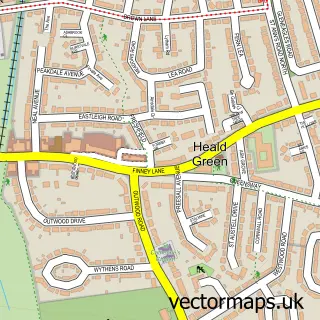
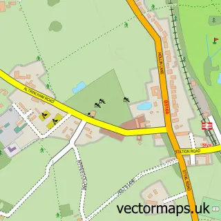
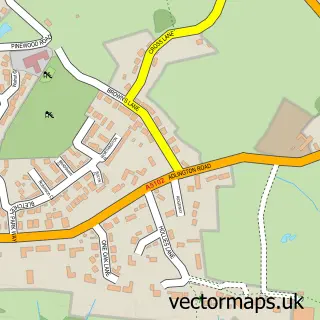
This Wythenshawe street map is a detailed vector street map covering a 750m x 750m area. Select a larger area to create and download your own vector street map of Wythenshawe.
The 750-metre map sample for Wythenshawe covers 338 mapped buildings and approximately 18.9 km of road detail, of which 38 named roads are named. The immediate area includes 1 railway station, 2 GP surgeries, with 12 within 2 miles, 1 pub and 11 MOT stations within 2 miles. The wider area around Wythenshawe features 4 food and drink venues. To create a larger or custom map of Wythenshawe, the map builder lets you define your own coverage area and download editable SVG, PDF and PNG files.
Create a larger editable map of Wythenshawe
Choose any area you need and generate a high-quality vector map instantly. Perfect for print, planning, design, business and personal use.

This Wythenshawe street map in Greater Manchester is available as downloadable SVG, PDF and PNG map files, or as a printed map for planning, business, display, education, local information and design work. You can also create a larger custom map area using the map selector.
What this Wythenshawe map sample shows
Wythenshawe lies within Manchester District (B) parish, part of Baguley ward in the Manchester District (B) local authority area. The postcode geography for this area includes the M postcode area, the M23 postcode district and the M23 0 postcode sector. Residents fall under the Nhs Greater Manchester Integrated Care Board for NHS services.
Local features near Wythenshawe
Within 2 milesAmenities and services in and around Wythenshawe.
Administrative and postcode information for Wythenshawe
Wythenshawe lies within Manchester District (B) parish, part of Baguley ward in the Manchester District (B) local authority area. The postcode geography for this area includes the M postcode area, the M23 postcode district and the M23 0 postcode sector. Residents fall under the Nhs Greater Manchester Integrated Care Board for NHS services.
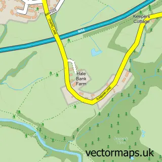
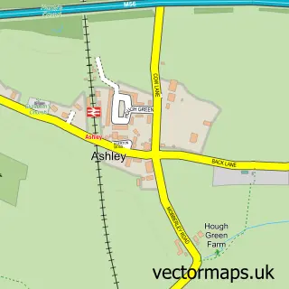
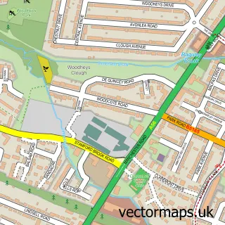
Nearby street map samples around Wythenshawe

More street maps in Greater Manchester
750 metre map area coverage
Boundary, postcode and point of interest information for the 750m x 750m rectangle centred on this sample map.
Boundaries containing map centre
Constituency: Wythenshawe and Sale East Boro Const
District: Manchester District (B)
Icb: NHS Greater Manchester ICB
Police Force: greater manchester
Postcode District: M22
Postcode Sector: M22 5
Ward: Woodhouse Park Ward
Nearby boundaries intersecting sample
Postcode Sector: M22 0, M22 1, M22 9
Ward: Sharston Ward
Postcode coverage
POI category counts
Professional Services: 7
Discount Store: 6
Gas Station: 4
Shoe Store: 4
Supermarket: 4
Bakery: 3
Bank Credit Union: 3
Convenience Store: 3
Day Care Preschool: 3
Dentist: 3
Sample points of interest
- William Temple
- Wythenshawe Church of England
- Cash machine Hale Top Civic Centre
- MFG - Civic Centre (MRH)
- Textile Direct
- Greggs
- Hampsons
- Poundbakery
- Halifax
- Halifax
- TSB Bank
- Western Union
Create a larger editable map of Wythenshawe
This sample shows only a 750 metre area. To create a larger map of Wythenshawe, use our map builder to choose your own coverage area, add titles and download editable SVG, PDF and PNG files.
Create a custom map of Wythenshawe