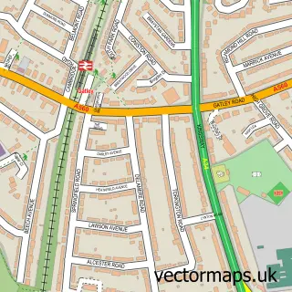
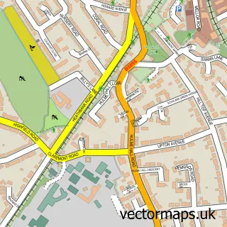
This Heald Green street map is a detailed vector street map covering a 750m x 750m area. Select a larger area to create and download your own vector street map of Heald Green.
The 750-metre map sample for Heald Green covers 596 mapped buildings and approximately 20.1 km of road detail, of which 42 named roads are named. The immediate area includes 2 GP surgeries, with 12 within 2 miles and 12 MOT stations within 2 miles. The wider area around Heald Green features 9 food and drink venues. To create a larger or custom map of Heald Green, the map builder lets you define your own coverage area and download editable SVG, PDF and PNG files.
Create a larger editable map of Heald Green
Choose any area you need and generate a high-quality vector map instantly. Perfect for print, planning, design, business and personal use.

This Heald Green street map in Greater Manchester is available as downloadable SVG, PDF and PNG map files, or as a printed map for planning, business, display, education, local information and design work. You can also create a larger custom map area using the map selector.
What this Heald Green map sample shows
Heald Green lies within Stockport District (B) parish, part of Heald Green ward in the Stockport District (B) local authority area. The postcode geography for this area includes the SK postcode area, the SK8 postcode district and the SK8 3 postcode sector. Residents fall under the Nhs Greater Manchester Integrated Care Board for NHS services.
Local features near Heald Green
Within 2 milesAmenities and services in and around Heald Green.
Administrative and postcode information for Heald Green
The local authority covering Heald Green is Stockport District (B), within the county of Greater Manchester. The settlement lies within Heald Green ward and Stockport District (B) civil parish. The SK8 postcode district and SK8 3 postcode sector serve the immediate area. NHS provision in the area is delivered through Manchester University Nhs Foundation Trust.
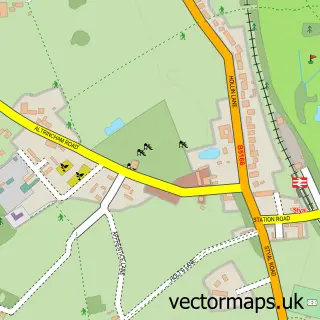
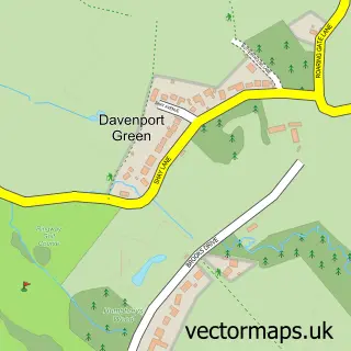
Nearby street map samples around Heald Green


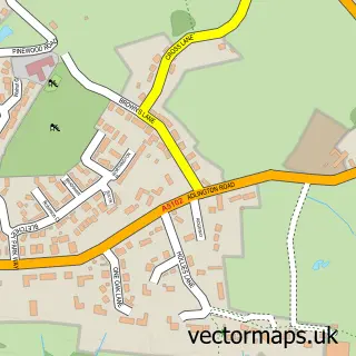
More street maps in Greater Manchester
750 metre map area coverage
Boundary, postcode and point of interest information for the 750m x 750m rectangle centred on this sample map.
Boundaries containing map centre
Constituency: Cheadle Boro Const
District: Stockport District (B)
Icb: NHS Greater Manchester ICB
Police Force: greater manchester
Postcode District: SK8
Postcode Sector: SK8 3
Ward: Heald Green Ward
Nearby boundaries intersecting sample
No additional intersecting boundaries found.
Postcode coverage
POI category counts
Beauty Salon: 7
Dentist: 6
Pharmacy: 5
Cafe: 4
Betting Center: 3
Employment Agencies: 3
Gym: 3
Hair Salon: 3
Real Estate: 3
Restaurant: 3
Sample points of interest
- Smithy Croft Retirement Village
- Sambhav Management Limited
- La Advertising
- Viewpoint Manchester
- Drayton & Ellis
- Creative Design
- Creative Design
- The Cooperative Food (BF) Finney Lane, Heald Green
- Plan-It Electrical Services
- Galbraith's
- InstaVolt Charging Station
- Imagicakes
Create a larger editable map of Heald Green
This sample shows only a 750 metre area. To create a larger map of Heald Green, use our map builder to choose your own coverage area, add titles and download editable SVG, PDF and PNG files.
Create a custom map of Heald Green