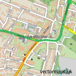
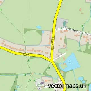
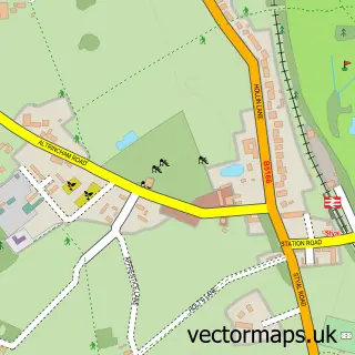
This Chorley street map is a detailed vector street map covering a 750m x 750m area. Select a larger area to create and download your own vector street map of Chorley.
The 750-metre map sample for Chorley covers 150 mapped buildings and approximately 7.7 km of road detail, of which 7 named roads are named. The immediate area includes 4 GP surgeries within 2 miles and 4 MOT stations within 2 miles. The wider area around Chorley features 1 hotel. To create a larger or custom map of Chorley, the map builder lets you define your own coverage area and download editable SVG, PDF and PNG files.
Create a larger editable map of Chorley
Choose any area you need and generate a high-quality vector map instantly. Perfect for print, planning, design, business and personal use.

This Chorley street map in Cheshire is available as downloadable SVG, PDF and PNG map files, or as a printed map for planning, business, display, education, local information and design work. You can also create a larger custom map area using the map selector.
What this Chorley map sample shows
Chorley lies within Alderley Edge Cp parish, part of Alderley Edge ward in the Cheshire East (B) local authority area. The postcode geography for this area includes the SK postcode area, the SK9 postcode district and the SK9 7 postcode sector. Residents fall under the Nhs Cheshire And Merseyside Integrated Care Board for NHS services.
Local features near Chorley
Within 2 milesAmenities and services in and around Chorley.
Administrative and postcode information for Chorley
The local authority covering Chorley is Cheshire East (B), within the county of Cheshire. The settlement lies within Alderley Edge ward and Alderley Edge Cp civil parish. The SK9 postcode district and SK9 7 postcode sector serve the immediate area. NHS provision in the area is delivered through East Cheshire Nhs Trust.
Nearby street map samples around Chorley

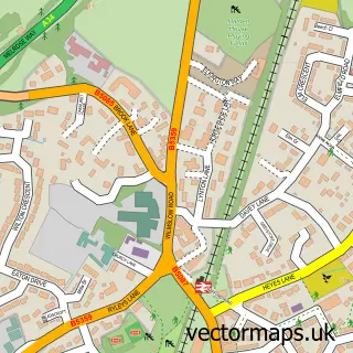
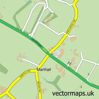
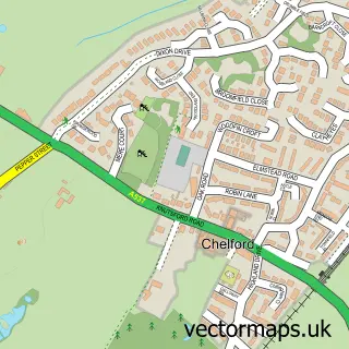
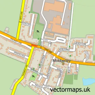
More street maps in Cheshire
750 metre map area coverage
Boundary, postcode and point of interest information for the 750m x 750m rectangle centred on this sample map.
Boundaries containing map centre
Constituency: Tatton Co Const
District: Cheshire East (B)
Icb: NHS Cheshire and Merseyside ICB
Parish: Chorley CP
Police Force: cheshire
Postcode District: SK9
Postcode Sector: SK9 7
Ward: Wilmslow West and Chorley Ward
Nearby boundaries intersecting sample
Parish: Alderley Edge CP
Postcode Sector: SK9 6
Ward: Alderley Edge Ward
Postcode coverage
POI category counts
Electrician: 2
Gym: 2
Pet Services: 2
Building Supply Store: 1
Car Dealer: 1
Church Cathedral: 1
Community Center: 1
Doctor: 1
Educational Camp: 1
Elementary School: 1
Sample points of interest
- Alpen UK
- Christopher Jackson
- Life Church
- Chorley Village Hall
- The Doula Element
- SK9 Sports
- Alderley Edge Windows & Doors
- Alderley Edge Windows & Doors Ltd.
- Lindow Community Primary School
- Cressy's Grains
- Athlete 1st
- The fitworks
Create a larger editable map of Chorley
This sample shows only a 750 metre area. To create a larger map of Chorley, use our map builder to choose your own coverage area, add titles and download editable SVG, PDF and PNG files.
Create a custom map of Chorley