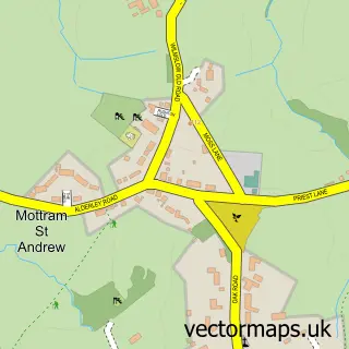
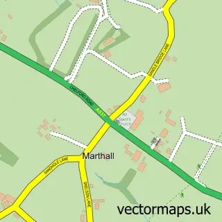
This Nether Alderley street map is a detailed vector street map covering a 750m x 750m area. Select a larger area to create and download your own vector street map of Nether Alderley.
The 750-metre map sample for Nether Alderley covers 63 mapped buildings and approximately 4.2 km of road detail, of which 3 named roads are named. The immediate area includes 1 school, 2 GP surgeries within 2 miles and 2 MOT stations within 2 miles. The wider area around Nether Alderley features 1 tourism point of interest. To create a larger or custom map of Nether Alderley, the map builder lets you define your own coverage area and download editable SVG, PDF and PNG files.
Create a larger editable map of Nether Alderley
Choose any area you need and generate a high-quality vector map instantly. Perfect for print, planning, design, business and personal use.

This Nether Alderley street map in Cheshire is available as downloadable SVG, PDF and PNG map files, or as a printed map for planning, business, display, education, local information and design work. You can also create a larger custom map area using the map selector.
What this Nether Alderley map sample shows
Nether Alderley lies within Nether Alderley Cp parish, part of Chelford ward in the Cheshire East (B) local authority area. The postcode geography for this area includes the SK postcode area, the SK10 postcode district and the SK10 4 postcode sector. Residents fall under the Nhs Cheshire And Merseyside Integrated Care Board for NHS services.
Local features near Nether Alderley
Within 2 milesAmenities and services in and around Nether Alderley.
Administrative and postcode information for Nether Alderley
The local authority covering Nether Alderley is Cheshire East (B), within the county of Cheshire. The settlement lies within Chelford ward and Nether Alderley Cp civil parish. The SK10 postcode district and SK10 4 postcode sector serve the immediate area. NHS provision in the area is delivered through East Cheshire Nhs Trust.
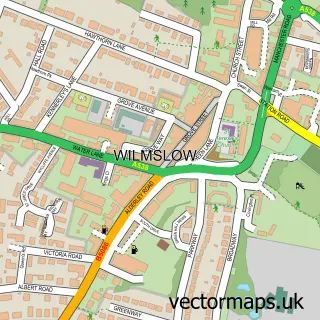
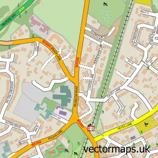
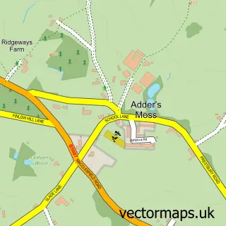
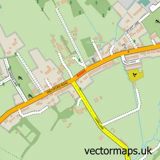
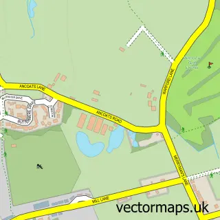
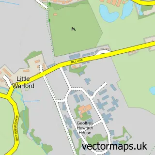
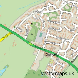
Nearby street map samples around Nether Alderley

More street maps in Cheshire
750 metre map area coverage
Boundary, postcode and point of interest information for the 750m x 750m rectangle centred on this sample map.
Boundaries containing map centre
Constituency: Tatton Co Const
District: Cheshire East (B)
Icb: NHS Cheshire and Merseyside ICB
Parish: Nether Alderley CP
Police Force: cheshire
Postcode District: SK10
Postcode Sector: SK10 4
Ward: Chelford Ward
Nearby boundaries intersecting sample
No additional intersecting boundaries found.
Postcode coverage
POI category counts
Anglican Church: 2
Accommodation: 1
Auto Company: 1
Bed And Breakfast: 1
Community Center: 1
Day Care Preschool: 1
Elementary School: 1
Landmark And Historical Building: 1
Medical Supply: 1
Sample points of interest
- Nether Alderley Rectory
- Alderley: St Mary
- St. Mary's Church
- Mendez prestige motor company
- Millbrook Cottage Guest House
- Nether Alderley Parish Hall
- Little Eagles Preschool and Afterschool club
- Nether Alderley Primary School
- Alderley Old Hall
- Bruin Biometrics Europe
Create a larger editable map of Nether Alderley
This sample shows only a 750 metre area. To create a larger map of Nether Alderley, use our map builder to choose your own coverage area, add titles and download editable SVG, PDF and PNG files.
Create a custom map of Nether Alderley