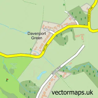
This Ringway street map is a detailed vector street map covering a 750m x 750m area. Select a larger area to create and download your own vector street map of Ringway.
The 750-metre map sample for Ringway covers 43 mapped buildings and approximately 8.5 km of road detail, of which 6 named roads are named. The immediate area includes 2 GP surgeries within 2 miles and 1 MOT station within 2 miles. To create a larger or custom map of Ringway, the map builder lets you define your own coverage area and download editable SVG, PDF and PNG files.
Create a larger editable map of Ringway
Choose any area you need and generate a high-quality vector map instantly. Perfect for print, planning, design, business and personal use.

This Ringway street map in Greater Manchester is available as downloadable SVG, PDF and PNG map files, or as a printed map for planning, business, display, education, local information and design work. You can also create a larger custom map area using the map selector.
What this Ringway map sample shows
Ringway lies within Trafford District (B) parish, part of Hale Barns ward in the Trafford District (B) local authority area. The postcode geography for this area includes the WA postcode area, the WA15 postcode district and the WA15 8 postcode sector. Residents fall under the Nhs Greater Manchester Integrated Care Board for NHS services.
Local features near Ringway
Within 2 milesAmenities and services in and around Ringway.
Administrative and postcode information for Ringway
Ringway lies within Trafford District (B) parish, part of Hale Barns ward in the Trafford District (B) local authority area. The postcode geography for this area includes the WA postcode area, the WA15 postcode district and the WA15 8 postcode sector. Residents fall under the Nhs Greater Manchester Integrated Care Board for NHS services.
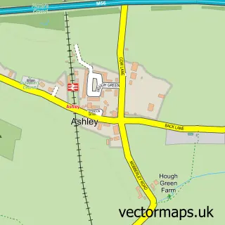
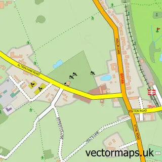
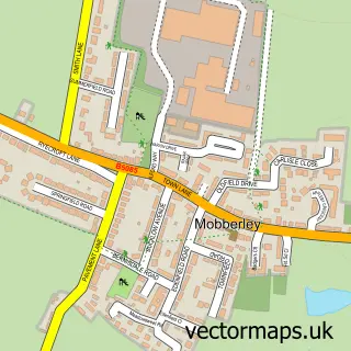
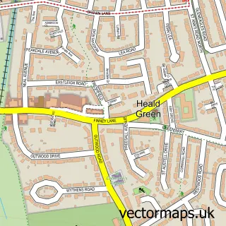
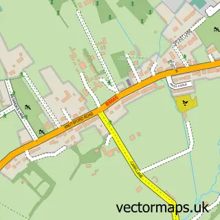
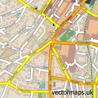
Nearby street map samples around Ringway


More street maps in Greater Manchester
750 metre map area coverage
Boundary, postcode and point of interest information for the 750m x 750m rectangle centred on this sample map.
Boundaries containing map centre
Constituency: Wythenshawe and Sale East Boro Const
District: Manchester District (B)
Icb: NHS Greater Manchester ICB
Parish: Ringway CP
Police Force: greater manchester
Postcode District: WA15
Postcode Sector: WA15 0
Ward: Woodhouse Park Ward
Nearby boundaries intersecting sample
Constituency: Altrincham and Sale West Boro Const, Tatton Co Const
District: Cheshire East (B), Trafford District (B)
Icb: NHS Cheshire and Merseyside ICB
Parish: Ashley CP
Police Force: cheshire
Ward: Hale Barns & Timperley South Ward, Mobberley Ward
Postcode coverage
POI category counts
Church Cathedral: 1
Physical Therapy: 1
Shipping Collection Services: 1
Sample points of interest
- Ringway Church
- Positive Posture
- DHL Express Manchester
Create a larger editable map of Ringway
This sample shows only a 750 metre area. To create a larger map of Ringway, use our map builder to choose your own coverage area, add titles and download editable SVG, PDF and PNG files.
Create a custom map of Ringway