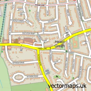
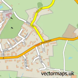
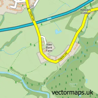
This Cheadle Hulme street map is a detailed vector street map covering a 750m x 750m area. Select a larger area to create and download your own vector street map of Cheadle Hulme.
The 750-metre map sample for Cheadle Hulme covers 436 mapped buildings and approximately 15.3 km of road detail, of which 38 named roads are named. The immediate area includes 2 schools, 10 GP surgeries within 2 miles, 2 pubs and 15 MOT stations within 2 miles. The wider area around Cheadle Hulme features 2 tourism points of interest and 3 food and drink venues. To create a larger or custom map of Cheadle Hulme, the map builder lets you define your own coverage area and download editable SVG, PDF and PNG files.
Create a larger editable map of Cheadle Hulme
Choose any area you need and generate a high-quality vector map instantly. Perfect for print, planning, design, business and personal use.

This Cheadle Hulme street map in Greater Manchester is available as downloadable SVG, PDF and PNG map files, or as a printed map for planning, business, display, education, local information and design work. You can also create a larger custom map area using the map selector.
What this Cheadle Hulme map sample shows
Cheadle Hulme lies within Stockport District (B) parish, part of Cheadle Hulme North ward in the Stockport District (B) local authority area. The postcode geography for this area includes the SK postcode area, the SK8 postcode district and the SK8 5 postcode sector. Residents fall under the Nhs Greater Manchester Integrated Care Board for NHS services.
Local features near Cheadle Hulme
Within 2 milesAmenities and services in and around Cheadle Hulme.
Administrative and postcode information for Cheadle Hulme
Cheadle Hulme lies within Stockport District (B) parish, part of Cheadle Hulme North ward in the Stockport District (B) local authority area. The postcode geography for this area includes the SK postcode area, the SK8 postcode district and the SK8 5 postcode sector. Residents fall under the Nhs Greater Manchester Integrated Care Board for NHS services.
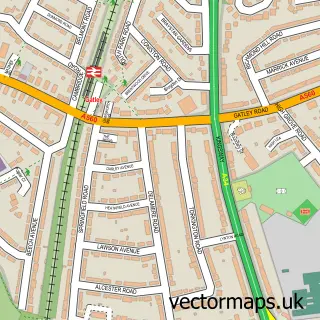
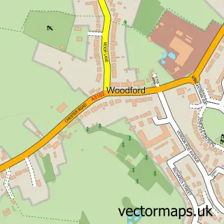
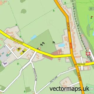
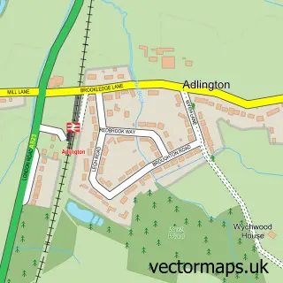
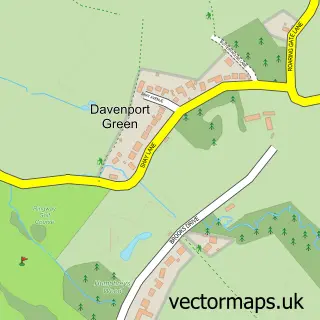
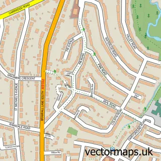
Nearby street map samples around Cheadle Hulme

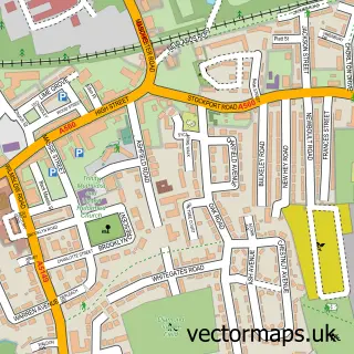
More street maps in Greater Manchester
750 metre map area coverage
Boundary, postcode and point of interest information for the 750m x 750m rectangle centred on this sample map.
Boundaries containing map centre
Constituency: Cheadle Boro Const
District: Stockport District (B)
Icb: NHS Greater Manchester ICB
Police Force: greater manchester
Postcode District: SK8
Postcode Sector: SK8 6
Ward: Cheadle Hulme South Ward
Nearby boundaries intersecting sample
Postcode Sector: SK8 5, SK8 7
Postcode coverage
POI category counts
Professional Services: 3
Beauty Salon: 2
Elementary School: 2
Ev Charging Station: 2
Park: 2
Pub: 2
School: 2
Shipping Center: 2
Accountant: 1
Active Life: 1
Sample points of interest
- Aims Accountants for Business
- Kings Camps
- Myers and Myers Associates
- Peak Electrical Services
- More Than a Mortgage Company
- Greggs
- Lunawholebeing
- Beau Salon
- The Beauty Room Cheadle Hulme
- I Do Designs
- Grainger Consulting
- Chadwicks of Cheshire
Create a larger editable map of Cheadle Hulme
This sample shows only a 750 metre area. To create a larger map of Cheadle Hulme, use our map builder to choose your own coverage area, add titles and download editable SVG, PDF and PNG files.
Create a custom map of Cheadle Hulme