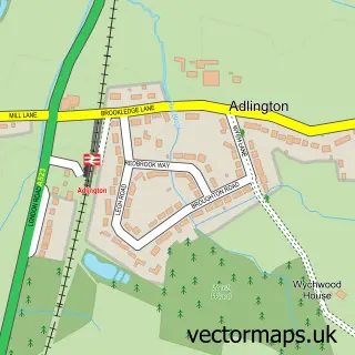
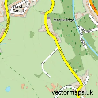
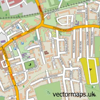
This Bramhall street map is a detailed vector street map covering a 750m x 750m area. Select a larger area to create and download your own vector street map of Bramhall.
The 750-metre map sample for Bramhall covers 460 mapped buildings and approximately 16.8 km of road detail, of which 30 named roads are named. The immediate area includes 9 GP surgeries within 2 miles and 22 MOT stations within 2 miles. The wider area around Bramhall features 1 food and drink venue. To create a larger or custom map of Bramhall, the map builder lets you define your own coverage area and download editable SVG, PDF and PNG files.
Create a larger editable map of Bramhall
Choose any area you need and generate a high-quality vector map instantly. Perfect for print, planning, design, business and personal use.

This Bramhall street map in Greater Manchester is available as downloadable SVG, PDF and PNG map files, or as a printed map for planning, business, display, education, local information and design work. You can also create a larger custom map area using the map selector.
What this Bramhall map sample shows
Bramhall lies within Stockport District (B) parish, part of Bramhall South And Woodford ward in the Stockport District (B) local authority area. The postcode geography for this area includes the SK postcode area, the SK7 postcode district and the SK7 2 postcode sector. Residents fall under the Nhs Greater Manchester Integrated Care Board for NHS services.
Local features near Bramhall
Within 2 milesAmenities and services in and around Bramhall.
Administrative and postcode information for Bramhall
Bramhall lies within Stockport District (B) parish, part of Bramhall South And Woodford ward in the Stockport District (B) local authority area. The postcode geography for this area includes the SK postcode area, the SK7 postcode district and the SK7 2 postcode sector. Residents fall under the Nhs Greater Manchester Integrated Care Board for NHS services.
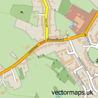
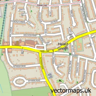
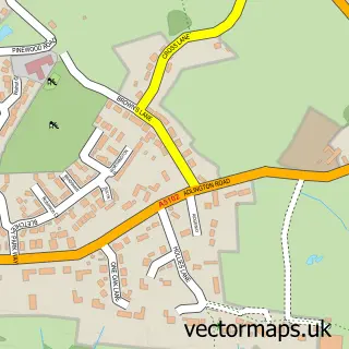
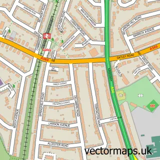
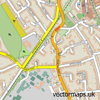
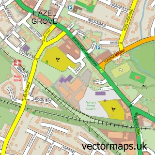
Nearby street map samples around Bramhall

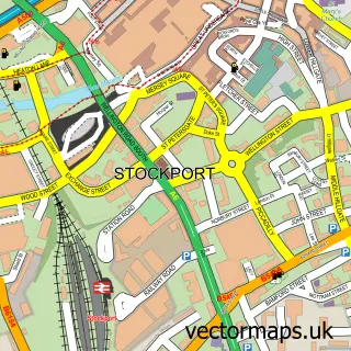
More street maps in Greater Manchester
750 metre map area coverage
Boundary, postcode and point of interest information for the 750m x 750m rectangle centred on this sample map.
Boundaries containing map centre
Constituency: Cheadle Boro Const
District: Stockport District (B)
Icb: NHS Greater Manchester ICB
Police Force: greater manchester
Postcode District: SK7
Postcode Sector: SK7 2
Ward: Bramhall North Ward
Nearby boundaries intersecting sample
Postcode Sector: SK7 3
Postcode coverage
POI category counts
Building Supply Store: 3
Advertising Agency: 2
Driving School: 2
Pet Groomer: 2
Atms: 1
Barber: 1
Bridal Shop: 1
Business Consulting: 1
Cafe: 1
Chocolatier: 1
Sample points of interest
- A W Marketing
- Mediability
- The Cooperative Food (BF) Dairyground Road, Bramhall
- David Stirling Gentlemens Hairdressing
- Lily Rose Events
- Cleaners Bramhall
- Interiors by Melanie Smith
- Solar X Window Films
- Carrley Business Consulting
- The Ladybrook
- Chocolate Henshaw's House of Cocoa
- Carpet Cleaning Bramhall
Create a larger editable map of Bramhall
This sample shows only a 750 metre area. To create a larger map of Bramhall, use our map builder to choose your own coverage area, add titles and download editable SVG, PDF and PNG files.
Create a custom map of Bramhall