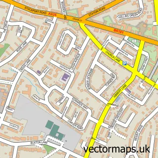
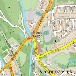
This Marpleridge street map is a detailed vector street map covering a 750m x 750m area. Select a larger area to create and download your own vector street map of Marpleridge.
The 750-metre map sample for Marpleridge covers 94 mapped buildings and approximately 8.2 km of road detail, of which 9 named roads are named. The immediate area includes 4 GP surgeries within 2 miles and 7 MOT stations within 2 miles. The wider area around Marpleridge features 1 tourism point of interest and 1 hotel. To create a larger or custom map of Marpleridge, the map builder lets you define your own coverage area and download editable SVG, PDF and PNG files.
Create a larger editable map of Marpleridge
Choose any area you need and generate a high-quality vector map instantly. Perfect for print, planning, design, business and personal use.

This Marpleridge street map in Greater Manchester is available as downloadable SVG, PDF and PNG map files, or as a printed map for planning, business, display, education, local information and design work. You can also create a larger custom map area using the map selector.
What this Marpleridge map sample shows
Marpleridge lies within Stockport District (B) parish, part of Marple South And High Lane ward in the Stockport District (B) local authority area. The postcode geography for this area includes the SK postcode area, the SK6 postcode district and the SK6 8 postcode sector. Residents fall under the Nhs Greater Manchester Integrated Care Board for NHS services.
Local features near Marpleridge
Within 2 milesAmenities and services in and around Marpleridge.
Administrative and postcode information for Marpleridge
The local authority covering Marpleridge is Stockport District (B), within the county of Greater Manchester. The settlement lies within Marple South And High Lane ward and Stockport District (B) civil parish. The SK6 postcode district and SK6 8 postcode sector serve the immediate area. NHS provision in the area is delivered through Stockport Nhs Foundation Trust.
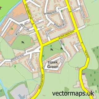
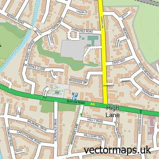
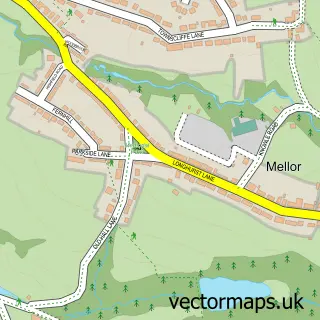
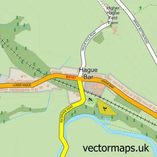
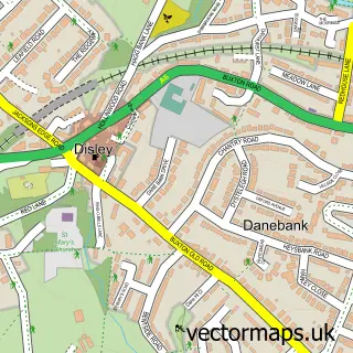
Nearby street map samples around Marpleridge


More street maps in Greater Manchester
750 metre map area coverage
Boundary, postcode and point of interest information for the 750m x 750m rectangle centred on this sample map.
Boundaries containing map centre
Constituency: Hazel Grove Co Const
District: Stockport District (B)
Icb: NHS Greater Manchester ICB
Police Force: greater manchester
Postcode District: SK6
Postcode Sector: SK6 7
Ward: Marple South & High Lane Ward
Nearby boundaries intersecting sample
No additional intersecting boundaries found.
Postcode coverage
POI category counts
Church Cathedral: 2
Active Life: 1
Architectural Designer: 1
Education: 1
Electrician: 1
Flight School: 1
Furniture Store: 1
Gym: 1
Hotel: 1
Landmark And Historical Building: 1
Sample points of interest
- Marple Ridge View Point
- Laurence Jay Ltd.
- The Ridge Methodist Church
- The Ridge Methodist Church
- Windlehurst School
- JB Electrical
- TP Flight Solutions
- Jaxon Rose Makeovers - Stockport
- Peak Trails Physical Training
- Hotel Solutions
- Ridge Quarry
- Colin Wild
Create a larger editable map of Marpleridge
This sample shows only a 750 metre area. To create a larger map of Marpleridge, use our map builder to choose your own coverage area, add titles and download editable SVG, PDF and PNG files.
Create a custom map of Marpleridge