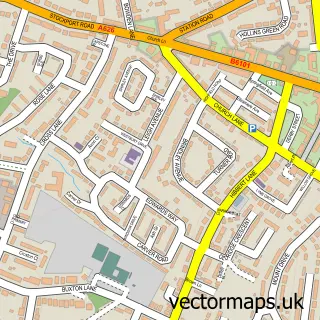
This Marple Bridge street map is a detailed vector street map covering a 750m x 750m area. Select a larger area to create and download your own vector street map of Marple Bridge.
The 750-metre map sample for Marple Bridge covers 307 mapped buildings and approximately 16.7 km of road detail, of which 26 named roads are named. The immediate area includes 2 schools, 1 railway station, 1 GP surgery, with 4 within 2 miles and 5 pubs among other local services. The wider area around Marple Bridge features 2 tourism points of interest and 6 food and drink venues. To create a larger or custom map of Marple Bridge, the map builder lets you define your own coverage area and download editable SVG, PDF and PNG files.
Create a larger editable map of Marple Bridge
Choose any area you need and generate a high-quality vector map instantly. Perfect for print, planning, design, business and personal use.

This Marple Bridge street map in Greater Manchester is available as downloadable SVG, PDF and PNG map files, or as a printed map for planning, business, display, education, local information and design work. You can also create a larger custom map area using the map selector.
What this Marple Bridge map sample shows
Marple Bridge lies within Stockport District (B) parish, part of Marple South And High Lane ward in the Stockport District (B) local authority area. The postcode geography for this area includes the SK postcode area, the SK6 postcode district and the SK6 7 postcode sector. Residents fall under the Nhs Greater Manchester Integrated Care Board for NHS services.
Local features near Marple Bridge
Within 2 milesAmenities and services in and around Marple Bridge.
Administrative and postcode information for Marple Bridge
The local authority covering Marple Bridge is Stockport District (B), within the county of Greater Manchester. The settlement lies within Marple South And High Lane ward and Stockport District (B) civil parish. The SK6 postcode district and SK6 7 postcode sector serve the immediate area. NHS provision in the area is delivered through Stockport Nhs Foundation Trust.
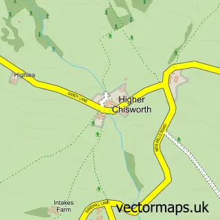
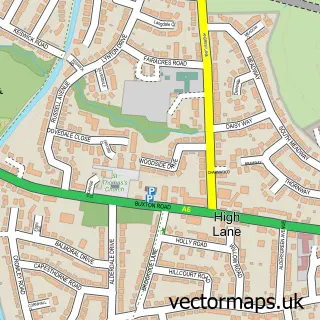
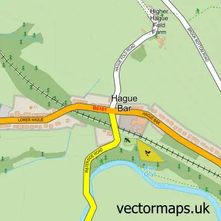
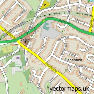
Nearby street map samples around Marple Bridge


More street maps in Greater Manchester
750 metre map area coverage
Boundary, postcode and point of interest information for the 750m x 750m rectangle centred on this sample map.
Boundaries containing map centre
Constituency: Hazel Grove Co Const
District: Stockport District (B)
Icb: NHS Greater Manchester ICB
Police Force: greater manchester
Postcode District: SK6
Postcode Sector: SK6 5
Ward: Marple North Ward
Nearby boundaries intersecting sample
Postcode Sector: SK6 6, SK6 7
Postcode coverage
POI category counts
Pub: 5
Building Supply Store: 4
Church Cathedral: 3
Real Estate Agent: 3
Train Station: 3
Beauty And Spa: 2
Beauty Salon: 2
Business: 2
Dentist: 2
Flowers And Gifts Shop: 2
Sample points of interest
- Architectural Solutions Limited
- South Seven
- St Martin's Church
- Townhouse Antiques
- Norwood Trust
- Marple Bridge Motor Co
- Libby's Bread and Wine
- Sherlocks Gentlemen
- Bathroom Heating & Plumbing
- Contoured Aesthetics
- The Beauty Hub
- Ava Laser & Skin
Create a larger editable map of Marple Bridge
This sample shows only a 750 metre area. To create a larger map of Marple Bridge, use our map builder to choose your own coverage area, add titles and download editable SVG, PDF and PNG files.
Create a custom map of Marple Bridge