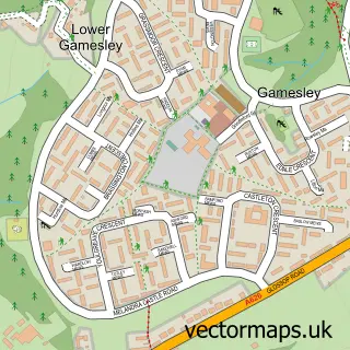
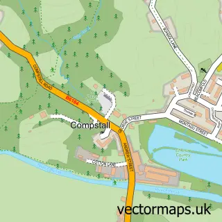
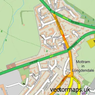
This Higher Chisworth street map is a detailed vector street map covering a 750m x 750m area. Select a larger area to create and download your own vector street map of Higher Chisworth.
The 750-metre map sample for Higher Chisworth covers 29 mapped buildings and approximately 7.8 km of road detail, of which 4 named roads are named. The immediate area includes 1 GP surgery within 2 miles and 3 MOT stations within 2 miles. To create a larger or custom map of Higher Chisworth, the map builder lets you define your own coverage area and download editable SVG, PDF and PNG files.
Create a larger editable map of Higher Chisworth
Choose any area you need and generate a high-quality vector map instantly. Perfect for print, planning, design, business and personal use.

This Higher Chisworth street map in Derbyshire is available as downloadable SVG, PDF and PNG map files, or as a printed map for planning, business, display, education, local information and design work. You can also create a larger custom map area using the map selector.
What this Higher Chisworth map sample shows
Higher Chisworth lies within Chisworth Cp parish, part of St John's ward in the High Peak District (B) local authority area. The postcode geography for this area includes the SK postcode area, the SK13 postcode district and the SK13 5 postcode sector. Residents fall under the Nhs Derby And Derbyshire Integrated Care Board for NHS services.
Local features near Higher Chisworth
Within 2 milesAmenities and services in and around Higher Chisworth.
Administrative and postcode information for Higher Chisworth
The local authority covering Higher Chisworth is High Peak District (B), within the county of Derbyshire. The settlement lies within St John's ward and Chisworth Cp civil parish. The SK13 postcode district and SK13 5 postcode sector serve the immediate area. NHS provision in the area is delivered through Tameside And Glossop Integrated Care Nhs Foundation Trust.
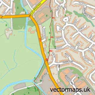
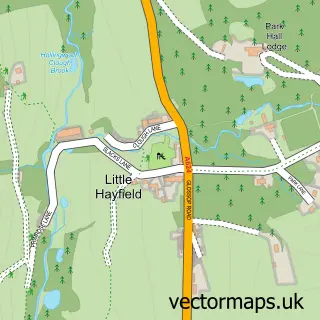
Nearby street map samples around Higher Chisworth
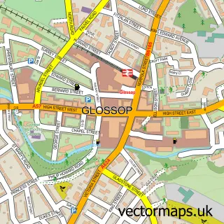

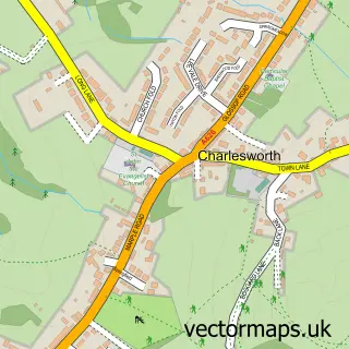
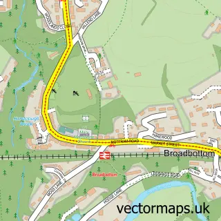
More street maps in Derbyshire
750 metre map area coverage
Boundary, postcode and point of interest information for the 750m x 750m rectangle centred on this sample map.
Boundaries containing map centre
Constituency: High Peak Co Const
County: Derbyshire County
District: High Peak District (B)
Icb: NHS Derby and Derbyshire ICB
Parish: Chisworth CP
Police Force: derbyshire
Postcode District: SK13
Postcode Sector: SK13 5
Ward: St. John's Ward
Nearby boundaries intersecting sample
No additional intersecting boundaries found.
Postcode coverage
POI category counts
Contractor: 1
Counseling And Mental Health: 1
Pet Services: 1
Pet Sitting: 1
Sample points of interest
- KitchenSinc
- SJR Therapy
- Mount View Farm
- Mount View Farm Kennels and Cattery
Create a larger editable map of Higher Chisworth
This sample shows only a 750 metre area. To create a larger map of Higher Chisworth, use our map builder to choose your own coverage area, add titles and download editable SVG, PDF and PNG files.
Create a custom map of Higher Chisworth