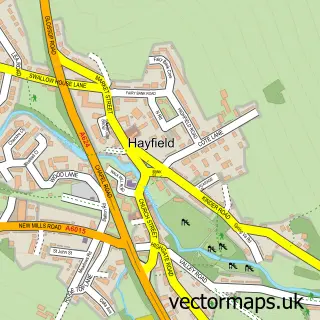
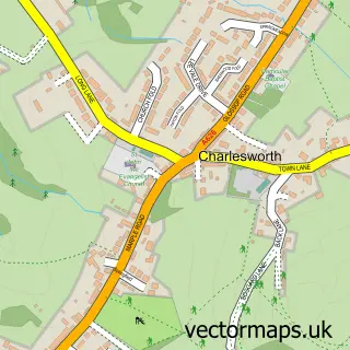
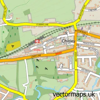
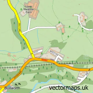
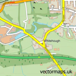
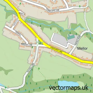
This Little Hayfield street map is a detailed vector street map covering a 750m x 750m area. Select a larger area to create and download your own vector street map of Little Hayfield.
The 750-metre map sample for Little Hayfield covers 53 mapped buildings and approximately 9.7 km of road detail, of which 5 named roads are named. The immediate area includes 2 MOT stations within 2 miles. The wider area around Little Hayfield features 1 hotel and 1 campsite within 2 miles. To create a larger or custom map of Little Hayfield, the map builder lets you define your own coverage area and download editable SVG, PDF and PNG files.
Create a larger editable map of Little Hayfield
Choose any area you need and generate a high-quality vector map instantly. Perfect for print, planning, design, business and personal use.

This Little Hayfield street map in Derbyshire is available as downloadable SVG, PDF and PNG map files, or as a printed map for planning, business, display, education, local information and design work. You can also create a larger custom map area using the map selector.
What this Little Hayfield map sample shows
Little Hayfield lies within Hayfield Cp parish, part of Sett ward in the High Peak District (B) local authority area. The postcode geography for this area includes the SK postcode area, the SK22 postcode district and the SK22 2 postcode sector. Residents fall under the Nhs Derby And Derbyshire Integrated Care Board for NHS services.
Local features near Little Hayfield
Within 2 milesAmenities and services in and around Little Hayfield.
Administrative and postcode information for Little Hayfield
The local authority covering Little Hayfield is High Peak District (B), within the county of Derbyshire. The settlement lies within Sett ward and Hayfield Cp civil parish. The SK22 postcode district and SK22 2 postcode sector serve the immediate area. NHS provision in the area is delivered through Stockport Nhs Foundation Trust.
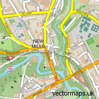
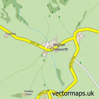
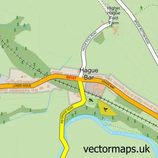
Nearby street map samples around Little Hayfield

More street maps in Derbyshire
750 metre map area coverage
Boundary, postcode and point of interest information for the 750m x 750m rectangle centred on this sample map.
Boundaries containing map centre
Constituency: High Peak Co Const
County: Derbyshire County
District: High Peak District (B)
Icb: NHS Derby and Derbyshire ICB
Parish: Hayfield CP
Police Force: derbyshire
Postcode District: SK22
Postcode Sector: SK22 2
Ward: Sett Ward
Nearby boundaries intersecting sample
Ward: Hayfield Ward
Postcode coverage
POI category counts
Bed And Breakfast: 1
Brewery: 1
Convenience Store: 1
Hotel: 1
Professional Services: 1
Retail: 1
Sports And Recreation Venue: 1
Sample points of interest
- Park Hall Manor
- The Lantern Pike Inn
- Gamesley Convenience
- Lantern Pike Inn ( Book Direct For Best Prices )
- Pazza Studio
- Cat Express Parcels
- Peak Athletics
Create a larger editable map of Little Hayfield
This sample shows only a 750 metre area. To create a larger map of Little Hayfield, use our map builder to choose your own coverage area, add titles and download editable SVG, PDF and PNG files.
Create a custom map of Little Hayfield