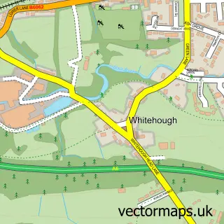
This Hayfield street map is a detailed vector street map covering a 750m x 750m area. Select a larger area to create and download your own vector street map of Hayfield.
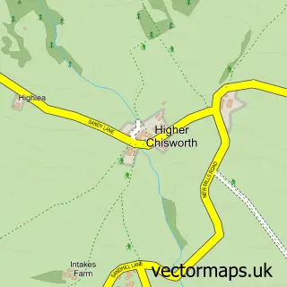
The 750-metre map sample for Hayfield covers 293 mapped buildings and approximately 24.7 km of road detail, of which 35 named roads are named. The immediate area includes 3 pubs and 2 MOT stations. The wider area around Hayfield features 3 tourism points of interest, 7 food and drink venues and 4 hotels. To create a larger or custom map of Hayfield, the map builder lets you define your own coverage area and download editable SVG, PDF and PNG files.
Create a larger editable map of Hayfield
Choose any area you need and generate a high-quality vector map instantly. Perfect for print, planning, design, business and personal use.

This Hayfield street map in Derbyshire is available as downloadable SVG, PDF and PNG map files, or as a printed map for planning, business, display, education, local information and design work. You can also create a larger custom map area using the map selector.
What this Hayfield map sample shows
Hayfield lies within Hayfield Cp parish, part of Hayfield ward in the High Peak District (B) local authority area. The postcode geography for this area includes the SK postcode area, the SK22 postcode district and the SK22 2 postcode sector. Residents fall under the Nhs Derby And Derbyshire Integrated Care Board for NHS services.
Local features near Hayfield
Within 2 milesAmenities and services in and around Hayfield.
Administrative and postcode information for Hayfield
The local authority covering Hayfield is High Peak District (B), within the county of Derbyshire. The settlement lies within Hayfield ward and Hayfield Cp civil parish. The SK22 postcode district and SK22 2 postcode sector serve the immediate area. NHS provision in the area is delivered through Stockport Nhs Foundation Trust.
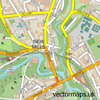
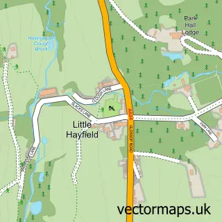
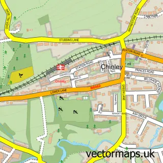
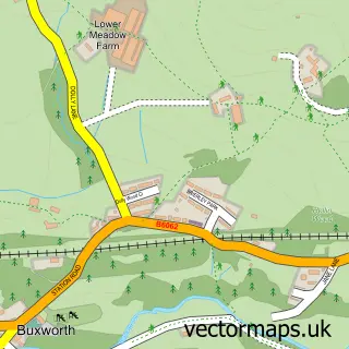
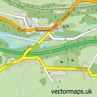
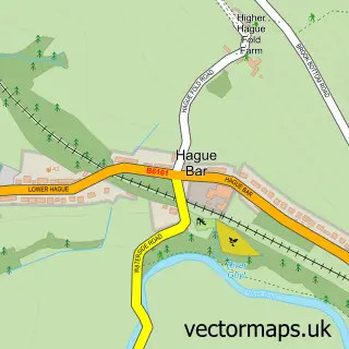
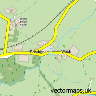
Nearby street map samples around Hayfield

More street maps in Derbyshire
750 metre map area coverage
Boundary, postcode and point of interest information for the 750m x 750m rectangle centred on this sample map.
Boundaries containing map centre
Constituency: High Peak Co Const
County: Derbyshire County
District: High Peak District (B)
Icb: NHS Derby and Derbyshire ICB
Parish: Hayfield CP
Police Force: derbyshire
Postcode District: SK22
Postcode Sector: SK22 2
Ward: Hayfield Ward
Nearby boundaries intersecting sample
No additional intersecting boundaries found.
Postcode coverage
POI category counts
Hotel: 4
Art Gallery: 3
Cafe: 3
Pub: 3
Community Center: 2
Event Planning: 2
It Service And Computer Repair: 2
Korean Grocery Store: 2
Park: 2
Professional Services: 2
Sample points of interest
- The Calico Bazaar
- Elephantstones Gallery
- Lomas & Lomas Ltd
- The Loft
- Chic Boutique Beauty Culture & Hair Design
- Rosie Locks
- Hindle Joinery
- J Kemp Butchers
- Rosie Lee Hayfield
- Rosies
- Twenty Trees Photography
- Millies Tea Rooms, Chocolatier and Bed & Breakfast
Create a larger editable map of Hayfield
This sample shows only a 750 metre area. To create a larger map of Hayfield, use our map builder to choose your own coverage area, add titles and download editable SVG, PDF and PNG files.
Create a custom map of Hayfield