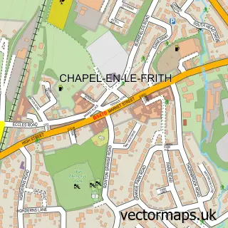
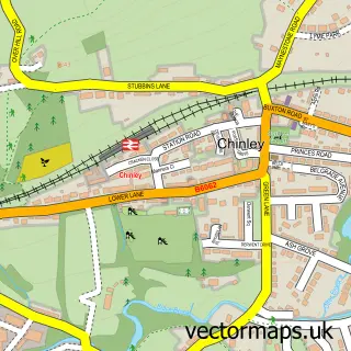
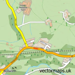
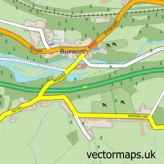
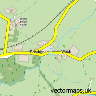
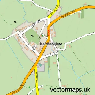
This Whitehough street map is a detailed vector street map covering a 750m x 750m area. Select a larger area to create and download your own vector street map of Whitehough.
The 750-metre map sample for Whitehough covers 178 mapped buildings and approximately 19.3 km of road detail, of which 13 named roads are named. The immediate area includes 2 GP surgeries within 2 miles, 2 pubs and 8 MOT stations within 2 miles. The wider area around Whitehough features 3 food and drink venues and 1 hotel. To create a larger or custom map of Whitehough, the map builder lets you define your own coverage area and download editable SVG, PDF and PNG files.
Create a larger editable map of Whitehough
Choose any area you need and generate a high-quality vector map instantly. Perfect for print, planning, design, business and personal use.

This Whitehough street map in Derbyshire is available as downloadable SVG, PDF and PNG map files, or as a printed map for planning, business, display, education, local information and design work. You can also create a larger custom map area using the map selector.
What this Whitehough map sample shows
Whitehough lies within Chinley, Buxworth And Brownside Cp parish, part of Blackbrook ward in the High Peak District (B) local authority area. The postcode geography for this area includes the SK postcode area, the SK23 postcode district and the SK23 6 postcode sector. Residents fall under the Nhs Derby And Derbyshire Integrated Care Board for NHS services.
Local features near Whitehough
Within 2 milesAmenities and services in and around Whitehough.
Administrative and postcode information for Whitehough
Whitehough lies within Chinley, Buxworth And Brownside Cp parish, part of Blackbrook ward in the High Peak District (B) local authority area. The postcode geography for this area includes the SK postcode area, the SK23 postcode district and the SK23 6 postcode sector. Residents fall under the Nhs Derby And Derbyshire Integrated Care Board for NHS services.
Nearby street map samples around Whitehough

More street maps in Derbyshire
750 metre map area coverage
Boundary, postcode and point of interest information for the 750m x 750m rectangle centred on this sample map.
Boundaries containing map centre
Constituency: High Peak Co Const
County: Derbyshire County
District: High Peak District (B)
Icb: NHS Derby and Derbyshire ICB
Parish: Chapel-en-le-Frith CP
Police Force: derbyshire
Postcode District: SK23
Postcode Sector: SK23 6
Ward: Blackbrook Ward
Nearby boundaries intersecting sample
Parish: Chinley, Buxworth and Brownside CP
Postcode coverage
POI category counts
Community Center: 3
Pub: 2
Scout Hall: 2
B2b Rubber And Plastics: 1
Clothing Store: 1
Coffee Shop: 1
Home Service: 1
Hotel: 1
Inn: 1
Landscaping: 1
Sample points of interest
- Mexichem Specialty Compounds Ltd.
- Peak Princess
- Guzzle
- Chinley & Buxworth Centre
- Chinley Community Centre
- Chinley, Buxworth and Brownside Community Association
- Chinley Day Nursery
- Chinley End Farm
- The Old Hall Inn, Chinley
- Jon Barrett Landscaping
- Rebecca Heazell Nutrition
- Rural Pest Control
Create a larger editable map of Whitehough
This sample shows only a 750 metre area. To create a larger map of Whitehough, use our map builder to choose your own coverage area, add titles and download editable SVG, PDF and PNG files.
Create a custom map of Whitehough