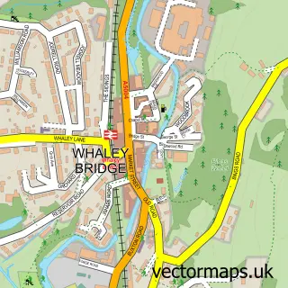
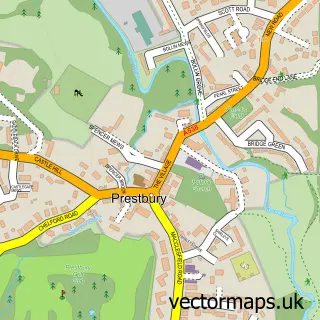
This Kettleshulme street map is a detailed vector street map covering a 750m x 750m area. Select a larger area to create and download your own vector street map of Kettleshulme.
The 750-metre map sample for Kettleshulme covers 95 mapped buildings and approximately 11.0 km of road detail, of which 6 named roads are named. The immediate area includes 1 school, 1 GP surgery within 2 miles, 1 pub and 4 MOT stations within 2 miles. The wider area around Kettleshulme features 1 tourism point of interest and 1 food and drink venue. To create a larger or custom map of Kettleshulme, the map builder lets you define your own coverage area and download editable SVG, PDF and PNG files.
Create a larger editable map of Kettleshulme
Choose any area you need and generate a high-quality vector map instantly. Perfect for print, planning, design, business and personal use.

This Kettleshulme street map in Cheshire is available as downloadable SVG, PDF and PNG map files, or as a printed map for planning, business, display, education, local information and design work. You can also create a larger custom map area using the map selector.
What this Kettleshulme map sample shows
Kettleshulme lies within Kettleshulme And Lyme Handley Cp parish, part of Poynton East And Pott Shrigley ward in the Cheshire East (B) local authority area. The postcode geography for this area includes the SK postcode area, the SK23 postcode district and the SK23 7 postcode sector. Residents fall under the Nhs Cheshire And Merseyside Integrated Care Board for NHS services.
Local features near Kettleshulme
Within 2 milesAmenities and services in and around Kettleshulme.
Administrative and postcode information for Kettleshulme
The local authority covering Kettleshulme is Cheshire East (B), within the county of Cheshire. The settlement lies within Poynton East And Pott Shrigley ward and Kettleshulme And Lyme Handley Cp civil parish. The SK23 postcode district and SK23 7 postcode sector serve the immediate area. NHS provision in the area is delivered through East Cheshire Nhs Trust.
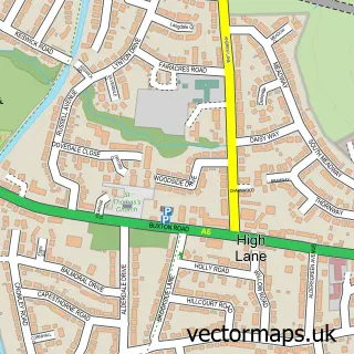
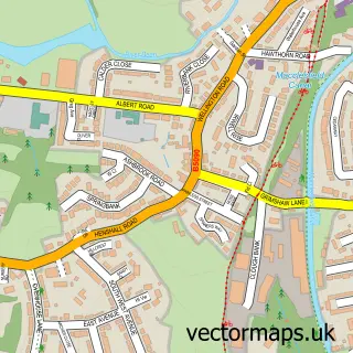
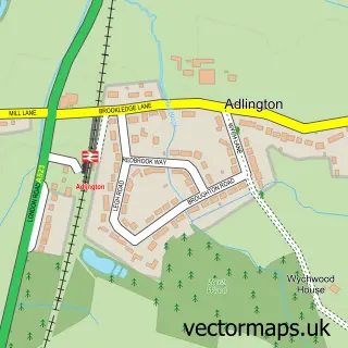
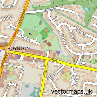
Nearby street map samples around Kettleshulme

More street maps in Cheshire
750 metre map area coverage
Boundary, postcode and point of interest information for the 750m x 750m rectangle centred on this sample map.
Boundaries containing map centre
Constituency: Macclesfield Co Const
District: Cheshire East (B)
Icb: NHS Cheshire and Merseyside ICB
Parish: Kettleshulme and Lyme Handley CP
Police Force: cheshire
Postcode District: SK23
Postcode Sector: SK23 7
Ward: Poynton East and Pott Shrigley Ward
Nearby boundaries intersecting sample
No additional intersecting boundaries found.
Postcode coverage
POI category counts
Elementary School: 1
Landmark And Historical Building: 1
Nursery And Gardening: 1
Online Shop: 1
Professional Services: 1
Pub: 1
Public Service And Government: 1
Translation Services: 1
Sample points of interest
- Kettleshulme St James C of E Primary School
- Kettleshulme
- David G Ross
- Kettleshulme Village Hall
- Memorial Hall
- The Swan Inn
- Kettleshulme Village Memorial Hall
- Peak Translations
Create a larger editable map of Kettleshulme
This sample shows only a 750 metre area. To create a larger map of Kettleshulme, use our map builder to choose your own coverage area, add titles and download editable SVG, PDF and PNG files.
Create a custom map of Kettleshulme