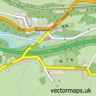
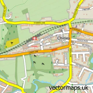
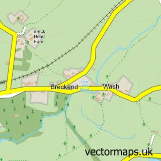
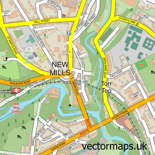
This Whaley Bridge street map is a detailed vector street map covering a 750m x 750m area. Select a larger area to create and download your own vector street map of Whaley Bridge.
The 750-metre map sample for Whaley Bridge covers 322 mapped buildings and approximately 21.4 km of road detail, of which 30 named roads are named. The immediate area includes 1 railway station, 1 GP surgery, 5 pubs and 3 MOT stations, with 4 within 2 miles. The wider area around Whaley Bridge features 2 tourism points of interest, 10 food and drink venues and 1 hotel. To create a larger or custom map of Whaley Bridge, the map builder lets you define your own coverage area and download editable SVG, PDF and PNG files.
Create a larger editable map of Whaley Bridge
Choose any area you need and generate a high-quality vector map instantly. Perfect for print, planning, design, business and personal use.

This Whaley Bridge street map in Derbyshire is available as downloadable SVG, PDF and PNG map files, or as a printed map for planning, business, display, education, local information and design work. You can also create a larger custom map area using the map selector.
What this Whaley Bridge map sample shows
Whaley Bridge lies within Whaley Bridge Cp parish, part of Whaley Bridge ward in the High Peak District (B) local authority area. The postcode geography for this area includes the SK postcode area, the SK23 postcode district and the SK23 7 postcode sector. Residents fall under the Nhs Derby And Derbyshire Integrated Care Board for NHS services.
Local features near Whaley Bridge
Within 2 milesAmenities and services in and around Whaley Bridge.
Administrative and postcode information for Whaley Bridge
The local authority covering Whaley Bridge is High Peak District (B), within the county of Derbyshire. The settlement lies within Whaley Bridge ward and Whaley Bridge Cp civil parish. The SK23 postcode district and SK23 7 postcode sector serve the immediate area. NHS provision in the area is delivered through Stockport Nhs Foundation Trust.
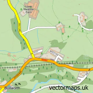
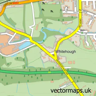
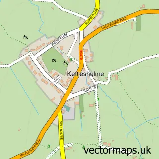
Nearby street map samples around Whaley Bridge

More street maps in Derbyshire
750 metre map area coverage
Boundary, postcode and point of interest information for the 750m x 750m rectangle centred on this sample map.
Boundaries containing map centre
Constituency: High Peak Co Const
County: Derbyshire County
District: High Peak District (B)
Icb: NHS Derby and Derbyshire ICB
Parish: Whaley Bridge CP
Police Force: derbyshire
Postcode District: SK23
Postcode Sector: SK23 7
Ward: Whaley Bridge Ward
Nearby boundaries intersecting sample
No additional intersecting boundaries found.
Postcode coverage
POI category counts
Automotive Repair: 6
Furniture Store: 5
Pub: 5
Industrial Equipment: 4
Restaurant: 4
Retail: 4
Bakery: 3
Beauty Salon: 3
Building Supply Store: 3
Charity Organization: 3
Sample points of interest
- Leathley & Co. Accountants
- Acupuncture & Physiotherapy Practice
- Arcaz Antiques
- Foot Steps
- High Peak Architects Ltd
- Rob Wilson
- A & C Workwear Company
- The Cooperative Food (BF) Buxton Road, Whaley Bridge
- Whaley Bridge Canal Basin
- Lee Moorcroft Motor Body Repairs
- Minibus Options
- Alton Cars Ltd
Create a larger editable map of Whaley Bridge
This sample shows only a 750 metre area. To create a larger map of Whaley Bridge, use our map builder to choose your own coverage area, add titles and download editable SVG, PDF and PNG files.
Create a custom map of Whaley Bridge