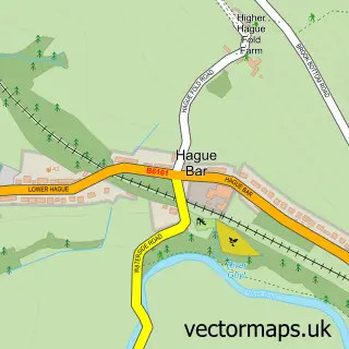
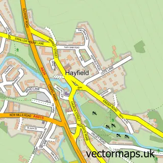
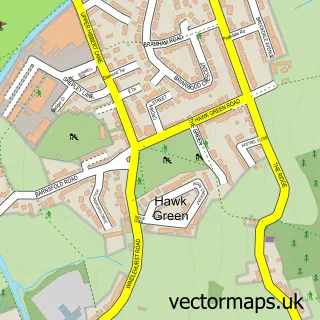
This New Mills street map is a detailed vector street map covering a 750m x 750m area. Select a larger area to create and download your own vector street map of New Mills.
The 750-metre map sample for New Mills covers 348 mapped buildings and approximately 26.3 km of road detail, of which 48 named roads are named. The immediate area includes 1 primary school and 1 secondary school, 1 railway station, 2 GP surgeries and 9 pubs among other local services. The wider area around New Mills features 8 tourism points of interest, 20 food and drink venues and 1 hotel. To create a larger or custom map of New Mills, the map builder lets you define your own coverage area and download editable SVG, PDF and PNG files.
Create a larger editable map of New Mills
Choose any area you need and generate a high-quality vector map instantly. Perfect for print, planning, design, business and personal use.

This New Mills street map in Derbyshire is available as downloadable SVG, PDF and PNG map files, or as a printed map for planning, business, display, education, local information and design work. You can also create a larger custom map area using the map selector.
What this New Mills map sample shows
New Mills lies within New Mills Cp parish, part of New Mills West ward in the High Peak District (B) local authority area. The postcode geography for this area includes the SK postcode area, the SK22 postcode district and the SK22 3 postcode sector. Residents fall under the Nhs Derby And Derbyshire Integrated Care Board for NHS services.
Local features near New Mills
Within 2 milesAmenities and services in and around New Mills.
Administrative and postcode information for New Mills
New Mills lies within New Mills Cp parish, part of New Mills West ward in the High Peak District (B) local authority area. The postcode geography for this area includes the SK postcode area, the SK22 postcode district and the SK22 3 postcode sector. Residents fall under the Nhs Derby And Derbyshire Integrated Care Board for NHS services.
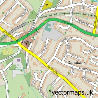
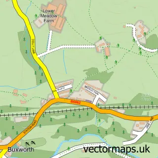
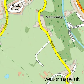
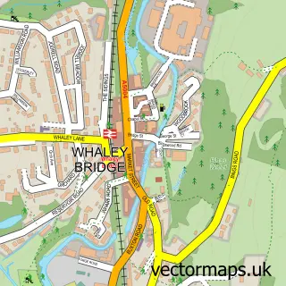
Nearby street map samples around New Mills

More street maps in Derbyshire
750 metre map area coverage
Boundary, postcode and point of interest information for the 750m x 750m rectangle centred on this sample map.
Boundaries containing map centre
Constituency: High Peak Co Const
County: Derbyshire County
District: High Peak District (B)
Icb: NHS Derby and Derbyshire ICB
Parish: New Mills CP
Police Force: derbyshire
Postcode District: SK22
Postcode Sector: SK22 3
Ward: New Mills West Ward
Nearby boundaries intersecting sample
Postcode Sector: SK22 4
Ward: New Mills East Ward
Postcode coverage
POI category counts
Pub: 9
Cafe: 8
Beauty Salon: 7
Community Services Non Profits: 7
Convenience Store: 7
Bakery: 6
Hair Salon: 5
Indian Restaurant: 5
Shopping: 5
Barber: 4
Sample points of interest
- A Allen & Son
- Clayton Chartered Certified Accountants
- Ward Grover Accountants
- The Peak District
- The Alternative Health Clinic
- Optimum Product Design and Marketing Limited
- Studio Admin
- Metamind Therapies
- High Peak Hospice
- Gallery 23 at New Mills
- The Gallery
- New Mills Festival
Create a larger editable map of New Mills
This sample shows only a 750 metre area. To create a larger map of New Mills, use our map builder to choose your own coverage area, add titles and download editable SVG, PDF and PNG files.
Create a custom map of New Mills